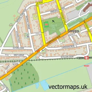
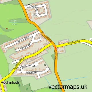
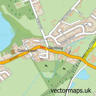
This Cardowan street map is a detailed vector street map covering a 750m x 750m area. Select a larger area to create and download your own vector street map of Cardowan.
The 750-metre map sample for Cardowan covers 316 mapped buildings and approximately 12.8 km of road detail, of which 30 named roads are named. The immediate area includes 1 railway station, 7 GP surgeries within 2 miles, 2 pubs and 7 MOT stations within 2 miles. The wider area around Cardowan features 2 tourism points of interest and 4 food and drink venues. To create a larger or custom map of Cardowan, the map builder lets you define your own coverage area and download editable SVG, PDF and PNG files.
Create a larger editable map of Cardowan
Choose any area you need and generate a high-quality vector map instantly. Perfect for print, planning, design, business and personal use.

This Cardowan street map in Lanarkshire is available as downloadable SVG, PDF and PNG map files, or as a printed map for planning, business, display, education, local information and design work. You can also create a larger custom map area using the map selector.
What this Cardowan map sample shows
Cardowan lies within North Lanarkshire parish, part of Stepps, Chryston And Muirhead ward in the North Lanarkshire local authority area. The postcode geography for this area includes the G postcode area, the G33 postcode district and the G33 6 postcode sector. Residents fall under the Lanarkshire for NHS services.
Local features near Cardowan
Within 2 milesAmenities and services in and around Cardowan.
Administrative and postcode information for Cardowan
Cardowan lies within North Lanarkshire parish, part of Stepps, Chryston And Muirhead ward in the North Lanarkshire local authority area. The postcode geography for this area includes the G postcode area, the G33 postcode district and the G33 6 postcode sector. Residents fall under the Lanarkshire for NHS services.
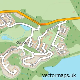
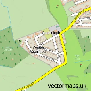
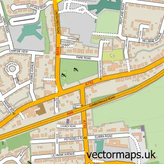
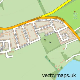
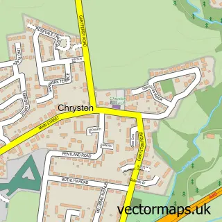
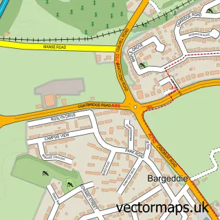
Nearby street map samples around Cardowan

More street maps in Lanarkshire
750 metre map area coverage
Boundary, postcode and point of interest information for the 750m x 750m rectangle centred on this sample map.
Boundaries containing map centre
Constituency: Cumbernauld and Kirkintilloch Co Const
District: North Lanarkshire
Icb: Lanarkshire
Postcode District: G33
Postcode Sector: G33 6
Ward: Stepps, Chryston and Muirhead Ward
Nearby boundaries intersecting sample
Icb: Greater Glasgow and Clyde
Postcode coverage
POI category counts
Hvac Services: 4
Pub: 2
Scout Hall: 2
Train Station: 2
Accountant: 1
Bar: 1
Building Supply Store: 1
Cafe: 1
Campground: 1
Catholic Church: 1
Sample points of interest
- AMP Accounting Services
- Stewart Inn
- Bargain Blinds
- Colliery Cafe
- Red Deer Village Holiday Park
- St Josephs Catholic Church
- Good Taste Chinese Takeaway Stepps
- St Joseph R C Church
- Cafe Moretti
- USAVE
- Shields Driver Training
- St Joseph's Primary School
Create a larger editable map of Cardowan
This sample shows only a 750 metre area. To create a larger map of Cardowan, use our map builder to choose your own coverage area, add titles and download editable SVG, PDF and PNG files.
Create a custom map of Cardowan