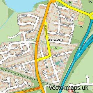
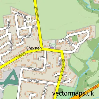
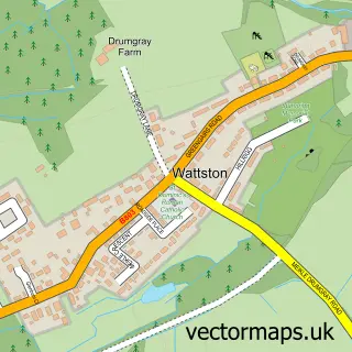
This Glenboig street map is a detailed vector street map covering a 750m x 750m area. Select a larger area to create and download your own vector street map of Glenboig.
The 750-metre map sample for Glenboig covers 278 mapped buildings and approximately 10.1 km of road detail, of which 14 named roads are named. The immediate area includes 1 GP surgery within 2 miles, 1 pub and 4 MOT stations within 2 miles. The wider area around Glenboig features 2 tourism points of interest and 2 food and drink venues. To create a larger or custom map of Glenboig, the map builder lets you define your own coverage area and download editable SVG, PDF and PNG files.
Create a larger editable map of Glenboig
Choose any area you need and generate a high-quality vector map instantly. Perfect for print, planning, design, business and personal use.

This Glenboig street map in Lanarkshire is available as downloadable SVG, PDF and PNG map files, or as a printed map for planning, business, display, education, local information and design work. You can also create a larger custom map area using the map selector.
What this Glenboig map sample shows
Glenboig lies within North Lanarkshire parish, part of Gartcosh, Glenboig And Moodiesburn ward in the North Lanarkshire local authority area. The postcode geography for this area includes the ML postcode area, the ML5 postcode district and the ML5 2 postcode sector. Residents fall under the Lanarkshire for NHS services.
Local features near Glenboig
Within 2 milesAmenities and services in and around Glenboig.
Administrative and postcode information for Glenboig
The local authority covering Glenboig is North Lanarkshire, within the county of Lanarkshire. The settlement lies within Gartcosh, Glenboig And Moodiesburn ward and North Lanarkshire civil parish. The ML5 postcode district and ML5 2 postcode sector serve the immediate area. NHS provision in the area is delivered through Lanarkshire.
Nearby street map samples around Glenboig

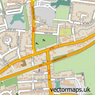
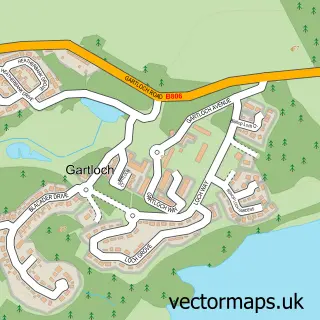
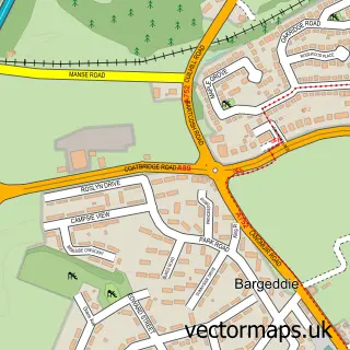
More street maps in Lanarkshire
750 metre map area coverage
Boundary, postcode and point of interest information for the 750m x 750m rectangle centred on this sample map.
Boundaries containing map centre
Constituency: Coatbridge and Bellshill Burgh Const
District: North Lanarkshire
Icb: Lanarkshire
Postcode District: ML5
Postcode Sector: ML5 2
Ward: Gartcosh, Glenboig and Moodiesburn Ward
Nearby boundaries intersecting sample
No additional intersecting boundaries found.
Postcode coverage
POI category counts
Professional Services: 5
Church Cathedral: 2
Fish And Chips Restaurant: 2
Hair Salon: 2
Park: 2
Social Service Organizations: 2
Auto Body Shop: 1
Automotive Repair: 1
Bakery: 1
Beauty Salon: 1
Sample points of interest
- A Gray & Sons
- A Gray & Sons
- Pudge's Cakery
- Bronde Beauty Salon
- Paint It Decorators
- Firehouse grill
- Glenboig Neighbourhood House
- Glenboig Chiropractic
- Glenboig Christian Fellowship
- Glenboig Church
- Glenboig Development Trust
- Minds Matter Therapy
Create a larger editable map of Glenboig
This sample shows only a 750 metre area. To create a larger map of Glenboig, use our map builder to choose your own coverage area, add titles and download editable SVG, PDF and PNG files.
Create a custom map of Glenboig