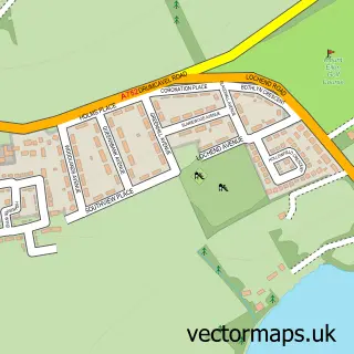
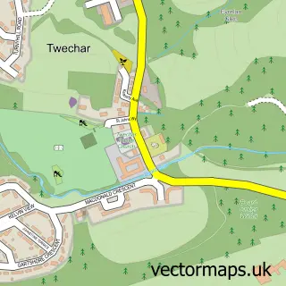
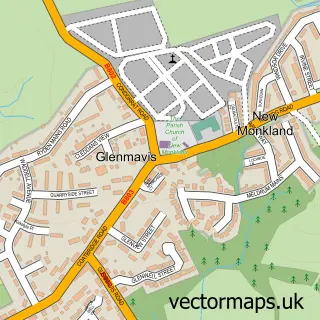
This Mollinsburn street map is a detailed vector street map covering a 750m x 750m area. Select a larger area to create and download your own vector street map of Mollinsburn.
The 750-metre map sample for Mollinsburn covers 63 mapped buildings and approximately 12.4 km of road detail, of which 3 named roads are named. The immediate area includes 2 GP surgeries within 2 miles and 1 MOT station, with 3 within 2 miles. To create a larger or custom map of Mollinsburn, the map builder lets you define your own coverage area and download editable SVG, PDF and PNG files.
Create a larger editable map of Mollinsburn
Choose any area you need and generate a high-quality vector map instantly. Perfect for print, planning, design, business and personal use.

This Mollinsburn street map in Lanarkshire is available as downloadable SVG, PDF and PNG map files, or as a printed map for planning, business, display, education, local information and design work. You can also create a larger custom map area using the map selector.
What this Mollinsburn map sample shows
Mollinsburn lies within North Lanarkshire parish, part of Gartcosh, Glenboig And Moodiesburn ward in the North Lanarkshire local authority area. The postcode geography for this area includes the G postcode area, the G67 postcode district and the G67 4 postcode sector. Residents fall under the Lanarkshire for NHS services.
Local features near Mollinsburn
Within 2 milesAmenities and services in and around Mollinsburn.
Administrative and postcode information for Mollinsburn
Mollinsburn lies within North Lanarkshire parish, part of Gartcosh, Glenboig And Moodiesburn ward in the North Lanarkshire local authority area. The postcode geography for this area includes the G postcode area, the G67 postcode district and the G67 4 postcode sector. Residents fall under the Lanarkshire for NHS services.
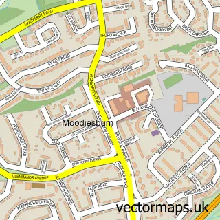
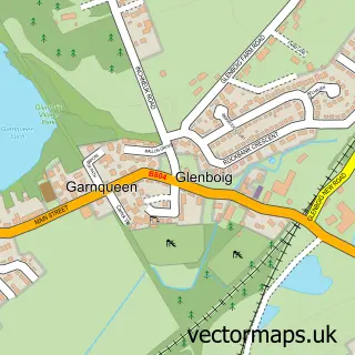
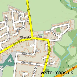
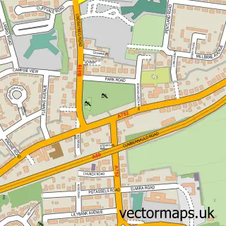
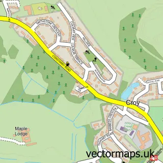
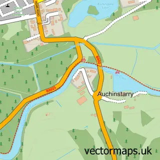
Nearby street map samples around Mollinsburn

More street maps in Lanarkshire
750 metre map area coverage
Boundary, postcode and point of interest information for the 750m x 750m rectangle centred on this sample map.
Boundaries containing map centre
Constituency: Coatbridge and Bellshill Burgh Const
District: North Lanarkshire
Icb: Lanarkshire
Postcode District: G67
Postcode Sector: G67 4
Ward: Gartcosh, Glenboig and Moodiesburn Ward
Nearby boundaries intersecting sample
Constituency: Cumbernauld and Kirkintilloch Co Const
District: East Dunbartonshire
Icb: Greater Glasgow and Clyde
Postcode District: G68, G69, ML5
Postcode Sector: G68 9, G69 0, ML5 2
Ward: Cumbernauld North Ward, Cumbernauld South Ward, Kirkintilloch East and North and Twechar Ward
Postcode coverage
POI category counts
Automotive Repair: 3
Fast Food Restaurant: 2
Indian Restaurant: 2
Active Life: 1
Advertising Agency: 1
Bar: 1
Bed And Breakfast: 1
Boutique: 1
Charity Organization: 1
Courier And Delivery Services: 1
Sample points of interest
- Great Scottish Run
- Spectre Creative
- APM Autos
- Mollinsburn Garage
- Mollinsburn MOT Centre
- Mollinsburn Inn
- Azalea House B&B
- Second Love pre-loved occasion wear
- Marie Curie Cancer Care
- UPS Access Point
- Burnett & Co.
- The Thrill of It All
Create a larger editable map of Mollinsburn
This sample shows only a 750 metre area. To create a larger map of Mollinsburn, use our map builder to choose your own coverage area, add titles and download editable SVG, PDF and PNG files.
Create a custom map of Mollinsburn