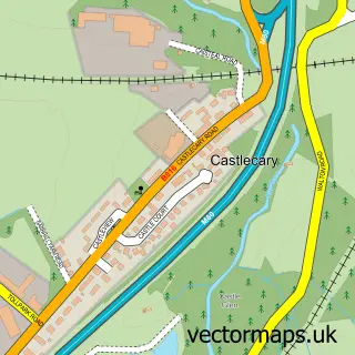
This Auchinstarry street map is a detailed vector street map covering a 750m x 750m area. Select a larger area to create and download your own vector street map of Auchinstarry.
The 750-metre map sample for Auchinstarry covers 62 mapped buildings and approximately 7.1 km of road detail, of which 4 named roads are named. The immediate area includes 1 GP surgery within 2 miles, 1 pub and 5 MOT stations within 2 miles. The wider area around Auchinstarry features 1 tourism point of interest, 2 food and drink venues and 2 hotels. To create a larger or custom map of Auchinstarry, the map builder lets you define your own coverage area and download editable SVG, PDF and PNG files.
Create a larger editable map of Auchinstarry
Choose any area you need and generate a high-quality vector map instantly. Perfect for print, planning, design, business and personal use.

This Auchinstarry street map in Dunbartonshire is available as downloadable SVG, PDF and PNG map files, or as a printed map for planning, business, display, education, local information and design work. You can also create a larger custom map area using the map selector.
What this Auchinstarry map sample shows
Auchinstarry lies within North Lanarkshire parish, part of Kilsyth ward in the North Lanarkshire local authority area. The postcode geography for this area includes the G postcode area, the G65 postcode district and the G65 9 postcode sector. Residents fall under the Lanarkshire for NHS services.
Local features near Auchinstarry
Within 2 milesAmenities and services in and around Auchinstarry.
Administrative and postcode information for Auchinstarry
Auchinstarry lies within North Lanarkshire parish, part of Kilsyth ward in the North Lanarkshire local authority area. The postcode geography for this area includes the G postcode area, the G65 postcode district and the G65 9 postcode sector. Residents fall under the Lanarkshire for NHS services.
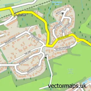
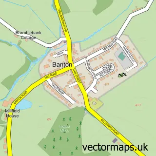
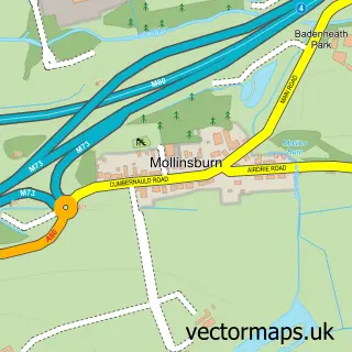
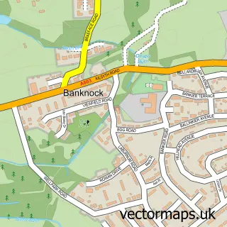
Nearby street map samples around Auchinstarry
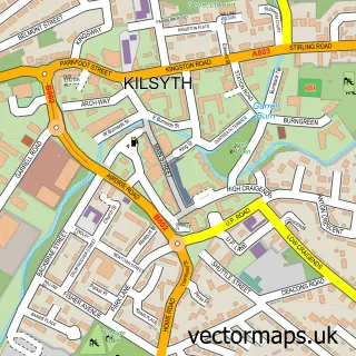

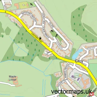
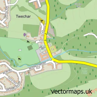
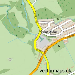
More street maps in Dunbartonshire
750 metre map area coverage
Boundary, postcode and point of interest information for the 750m x 750m rectangle centred on this sample map.
Boundaries containing map centre
Constituency: Cumbernauld and Kirkintilloch Co Const
District: North Lanarkshire
Icb: Lanarkshire
Postcode District: G65
Postcode Sector: G65 9
Ward: Kilsyth Ward
Nearby boundaries intersecting sample
District: East Dunbartonshire
Icb: Greater Glasgow and Clyde
Postcode Sector: G65 0
Ward: Kirkintilloch East and North and Twechar Ward
Postcode coverage
POI category counts
Art Gallery: 2
Building Supply Store: 2
Hotel: 2
Bar: 1
Marina: 1
Music School: 1
Paddleboarding Center: 1
Pet Groomer: 1
Pub: 1
Public Service And Government: 1
Sample points of interest
- The Port Gallery
- The Port Gallery
- The Boathouse Hotel Bar and Restaurant
- P Mcfarlane
- TKM Electrical
- The Boat House
- The Boathouse Hotel
- Auchinstarry Marina
- Quavers Music Scotland
- Central Scotland Adventures
- Shounas Moblie Dog Grooming
- Boathouse Kilsyth
Create a larger editable map of Auchinstarry
This sample shows only a 750 metre area. To create a larger map of Auchinstarry, use our map builder to choose your own coverage area, add titles and download editable SVG, PDF and PNG files.
Create a custom map of Auchinstarry