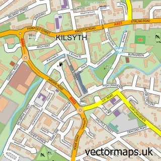
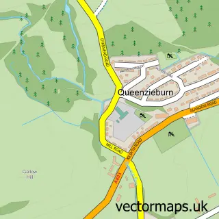
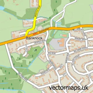
This Croy street map is a detailed vector street map covering a 750m x 750m area. Select a larger area to create and download your own vector street map of Croy.
The 750-metre map sample for Croy covers 186 mapped buildings and approximately 8.8 km of road detail, of which 12 named roads are named. The immediate area includes 1 railway station, 2 GP surgeries within 2 miles and 5 MOT stations within 2 miles. The wider area around Croy features 1 campsite within 2 miles. To create a larger or custom map of Croy, the map builder lets you define your own coverage area and download editable SVG, PDF and PNG files.
Create a larger editable map of Croy
Choose any area you need and generate a high-quality vector map instantly. Perfect for print, planning, design, business and personal use.

This Croy street map in Dunbartonshire is available as downloadable SVG, PDF and PNG map files, or as a printed map for planning, business, display, education, local information and design work. You can also create a larger custom map area using the map selector.
What this Croy map sample shows
Croy lies within North Lanarkshire parish, part of Kilsyth ward in the North Lanarkshire local authority area. The postcode geography for this area includes the G postcode area, the G65 postcode district and the G65 9 postcode sector. Residents fall under the Lanarkshire for NHS services.
Local features near Croy
Within 2 milesAmenities and services in and around Croy.
Administrative and postcode information for Croy
Croy lies within North Lanarkshire parish, part of Kilsyth ward in the North Lanarkshire local authority area. The postcode geography for this area includes the G postcode area, the G65 postcode district and the G65 9 postcode sector. Residents fall under the Lanarkshire for NHS services.
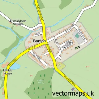
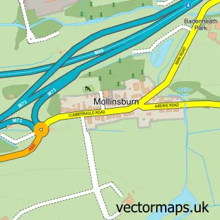
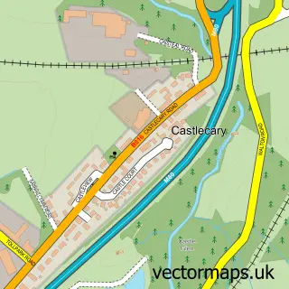
Nearby street map samples around Croy

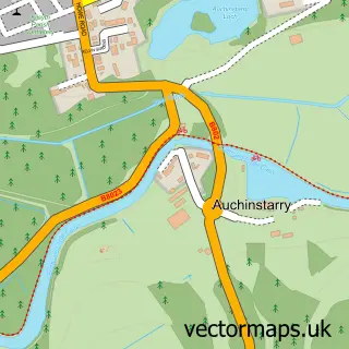
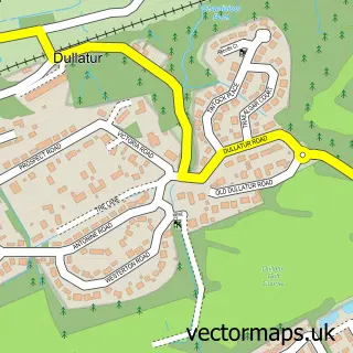
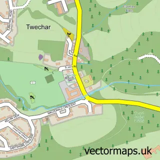
More street maps in Dunbartonshire
750 metre map area coverage
Boundary, postcode and point of interest information for the 750m x 750m rectangle centred on this sample map.
Boundaries containing map centre
Constituency: Cumbernauld and Kirkintilloch Co Const
District: North Lanarkshire
Icb: Lanarkshire
Postcode District: G65
Postcode Sector: G65 9
Ward: Kilsyth Ward
Nearby boundaries intersecting sample
Postcode District: G68
Postcode Sector: G68 9
Ward: Cumbernauld North Ward
Postcode coverage
POI category counts
Train Station: 3
Convenience Store: 2
Shipping Center: 2
Appliance Manufacturer: 1
Barber: 1
Beauty Salon: 1
Building Supply Store: 1
Car Wash: 1
Catholic Church: 1
Chinese Restaurant: 1
Sample points of interest
- Thermaflow
- Croy Barbers
- Pampered Belles
- Neat Heat
- Croy Hand Car Wash
- Holy Cross Church
- Mei Ho Chinese Takeaway
- Croy Community Hub Ltd
- DH plastering
- CROY POST OFFICE
- SPAR
- Antonine Credit Union
Create a larger editable map of Croy
This sample shows only a 750 metre area. To create a larger map of Croy, use our map builder to choose your own coverage area, add titles and download editable SVG, PDF and PNG files.
Create a custom map of Croy