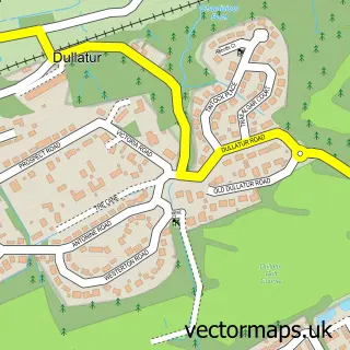
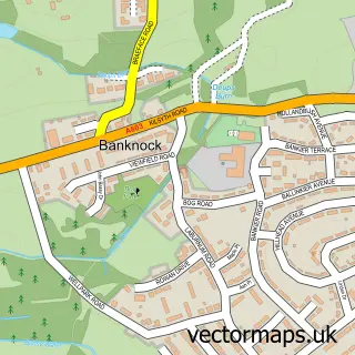
This Cumbernauld street map is a detailed vector street map covering a 750m x 750m area. Select a larger area to create and download your own vector street map of Cumbernauld.
The 750-metre map sample for Cumbernauld covers 180 mapped buildings and approximately 21.0 km of road detail, of which 23 named roads are named. The immediate area includes 2 GP surgeries, with 6 within 2 miles and 1 MOT station, with 7 within 2 miles. The wider area around Cumbernauld features 4 tourism points of interest, 18 food and drink venues and 2 hotels. To create a larger or custom map of Cumbernauld, the map builder lets you define your own coverage area and download editable SVG, PDF and PNG files.
Create a larger editable map of Cumbernauld
Choose any area you need and generate a high-quality vector map instantly. Perfect for print, planning, design, business and personal use.

This Cumbernauld street map in Dunbartonshire is available as downloadable SVG, PDF and PNG map files, or as a printed map for planning, business, display, education, local information and design work. You can also create a larger custom map area using the map selector.
What this Cumbernauld map sample shows
Cumbernauld lies within North Lanarkshire parish, part of Cumbernauld South ward in the North Lanarkshire local authority area. The postcode geography for this area includes the G postcode area, the G67 postcode district and the G67 1 postcode sector. Residents fall under the Lanarkshire for NHS services.
Local features near Cumbernauld
Within 2 milesAmenities and services in and around Cumbernauld.
Administrative and postcode information for Cumbernauld
Cumbernauld lies within North Lanarkshire parish, part of Cumbernauld South ward in the North Lanarkshire local authority area. The postcode geography for this area includes the G postcode area, the G67 postcode district and the G67 1 postcode sector. Residents fall under the Lanarkshire for NHS services.
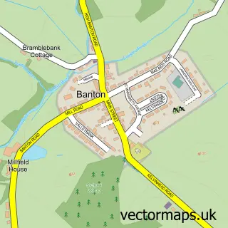
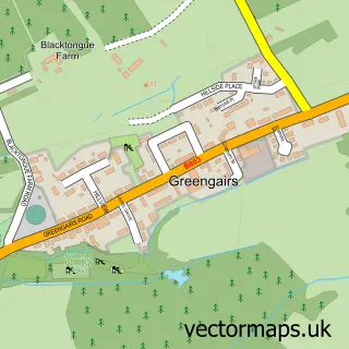
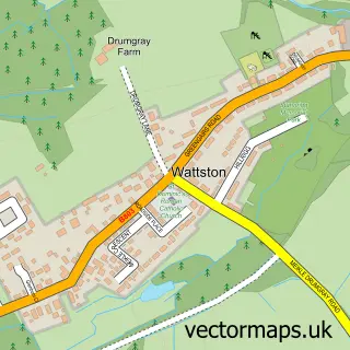
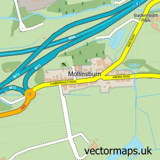
Nearby street map samples around Cumbernauld

More street maps in Dunbartonshire
750 metre map area coverage
Boundary, postcode and point of interest information for the 750m x 750m rectangle centred on this sample map.
Boundaries containing map centre
Constituency: Cumbernauld and Kirkintilloch Co Const
District: North Lanarkshire
Icb: Lanarkshire
Postcode District: G67
Postcode Sector: G67 1
Ward: Cumbernauld South Ward
Nearby boundaries intersecting sample
Postcode Sector: G67 2
Ward: Cumbernauld East Ward
Postcode coverage
POI category counts
Discount Store: 10
Clothing Store: 9
Beauty Salon: 8
Cafe: 7
Church Cathedral: 7
Coffee Shop: 7
Mobile Phone Store: 7
Fast Food Restaurant: 6
Hair Salon: 6
Pharmacy: 6
Sample points of interest
- HealthSure Physiotherapy - Cumbernauld Clinic
- Barclays ATM
- PayPoint
- Craigieburn Community Garden
- Ziggurat Computing
- Cakes by Becca
- Greggs
- Greggs
- Thomas Aulds
- Bank of Scotland
- Santander
- TSB Bank
Create a larger editable map of Cumbernauld
This sample shows only a 750 metre area. To create a larger map of Cumbernauld, use our map builder to choose your own coverage area, add titles and download editable SVG, PDF and PNG files.
Create a custom map of Cumbernauld