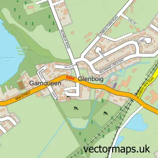
This Greengairs street map is a detailed vector street map covering a 750m x 750m area. Select a larger area to create and download your own vector street map of Greengairs.
The 750-metre map sample for Greengairs covers 137 mapped buildings and approximately 8.1 km of road detail, of which 10 named roads are named. To create a larger or custom map of Greengairs, the map builder lets you define your own coverage area and download editable SVG, PDF and PNG files.
Create a larger editable map of Greengairs
Choose any area you need and generate a high-quality vector map instantly. Perfect for print, planning, design, business and personal use.

This Greengairs street map in Lanarkshire is available as downloadable SVG, PDF and PNG map files, or as a printed map for planning, business, display, education, local information and design work. You can also create a larger custom map area using the map selector.
What this Greengairs map sample shows
Greengairs lies within North Lanarkshire parish, part of Airdrie North ward in the North Lanarkshire local authority area. The postcode geography for this area includes the ML postcode area, the ML6 postcode district and the ML6 7 postcode sector. Residents fall under the Lanarkshire for NHS services.
Administrative and postcode information for Greengairs
The local authority covering Greengairs is North Lanarkshire, within the county of Lanarkshire. The settlement lies within Airdrie North ward and North Lanarkshire civil parish. The ML6 postcode district and ML6 7 postcode sector serve the immediate area. NHS provision in the area is delivered through Lanarkshire.
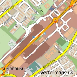
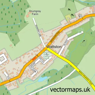
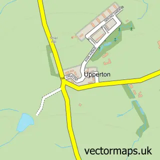
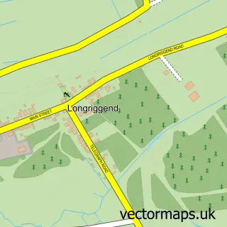
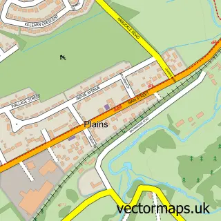
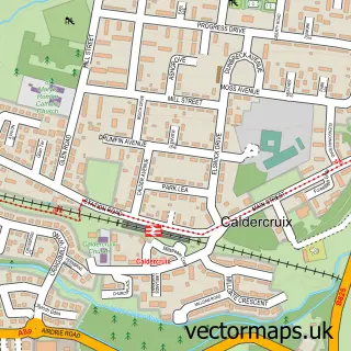
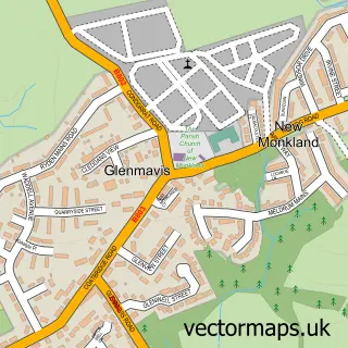
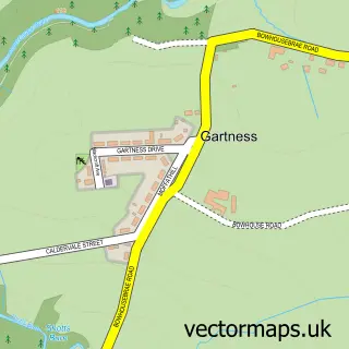
Nearby street map samples around Greengairs

More street maps in Lanarkshire
750 metre map area coverage
Boundary, postcode and point of interest information for the 750m x 750m rectangle centred on this sample map.
Boundaries containing map centre
Constituency: Airdrie and Shotts Co Const
District: North Lanarkshire
Icb: Lanarkshire
Postcode District: ML6
Postcode Sector: ML6 7
Ward: Airdrie North Ward
Nearby boundaries intersecting sample
No additional intersecting boundaries found.
Postcode coverage
POI category counts
Bed And Breakfast: 1
Building Supply Store: 1
Church Cathedral: 1
Community Center: 1
Dog Park: 1
Dog Trainer: 1
Elementary School: 1
Gardener: 1
Home Cleaning: 1
Landscaping: 1
Sample points of interest
- Easter Glentore Farm / Acorn Cottage Self Catering
- Blue Star Tiling
- Backbrae Gospel Hall, Greengairs
- Greengairs Community Forum
- Ruuff Roading Dog Adventure Parks
- Pet Behaviour Scotland
- Greengairs Primary School
- The Artificial Grass Company Scotland | Artificial Grass Scotland
- Diamond Oven Clean
- The Artificial Grass Company Scotland
- N C Curtain Design
- Greengairs Social Club
Create a larger editable map of Greengairs
This sample shows only a 750 metre area. To create a larger map of Greengairs, use our map builder to choose your own coverage area, add titles and download editable SVG, PDF and PNG files.
Create a custom map of Greengairs