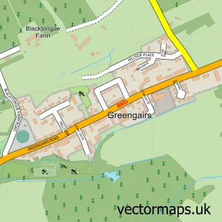
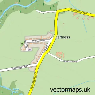
This Caldercruix street map is a detailed vector street map covering a 750m x 750m area. Select a larger area to create and download your own vector street map of Caldercruix.
The 750-metre map sample for Caldercruix covers 419 mapped buildings and approximately 19.2 km of road detail, of which 40 named roads are named. The immediate area includes 1 railway station and 1 pub. The wider area around Caldercruix features 3 food and drink venues. To create a larger or custom map of Caldercruix, the map builder lets you define your own coverage area and download editable SVG, PDF and PNG files.
Create a larger editable map of Caldercruix
Choose any area you need and generate a high-quality vector map instantly. Perfect for print, planning, design, business and personal use.

This Caldercruix street map in Lanarkshire is available as downloadable SVG, PDF and PNG map files, or as a printed map for planning, business, display, education, local information and design work. You can also create a larger custom map area using the map selector.
What this Caldercruix map sample shows
Caldercruix lies within North Lanarkshire parish, part of Airdrie North ward in the North Lanarkshire local authority area. The postcode geography for this area includes the ML postcode area, the ML6 postcode district and the ML6 7 postcode sector. Residents fall under the Lanarkshire for NHS services.
Local features near Caldercruix
Within 2 milesAmenities and services in and around Caldercruix.
Administrative and postcode information for Caldercruix
Caldercruix lies within North Lanarkshire parish, part of Airdrie North ward in the North Lanarkshire local authority area. The postcode geography for this area includes the ML postcode area, the ML6 postcode district and the ML6 7 postcode sector. Residents fall under the Lanarkshire for NHS services.
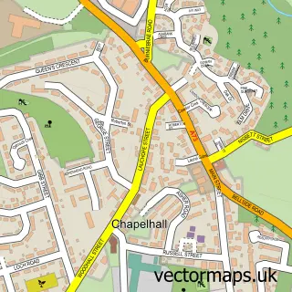
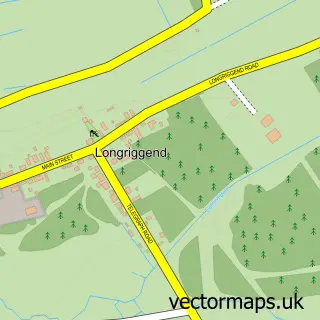
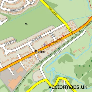
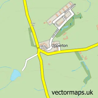
Nearby street map samples around Caldercruix

More street maps in Lanarkshire
750 metre map area coverage
Boundary, postcode and point of interest information for the 750m x 750m rectangle centred on this sample map.
Boundaries containing map centre
Constituency: Airdrie and Shotts Co Const
District: North Lanarkshire
Icb: Lanarkshire
Postcode District: ML6
Postcode Sector: ML6 7
Ward: Airdrie North Ward
Nearby boundaries intersecting sample
Postcode Sector: ML6 8
Postcode coverage
POI category counts
Convenience Store: 4
Train Station: 3
Building Supply Store: 2
Catholic Church: 2
Elementary School: 2
Shipping Center: 2
Sports Club And League: 2
Atms: 1
Beauty And Spa: 1
Betting Center: 1
Sample points of interest
- CALDERCRUIX POST OFFICE (Mirren) (Protected), Caldercruix
- HairGels Hair & Beauty
- Ladbrokes
- Clansman Inn
- JR Trusted Property Services
- Rowan Timber Supplies
- Billie's Cafe
- Hidden Events
- Caldercruix, Longriggend
- St Marys Church Caldercruix
- Caldercruix Store
- Premier
Create a larger editable map of Caldercruix
This sample shows only a 750 metre area. To create a larger map of Caldercruix, use our map builder to choose your own coverage area, add titles and download editable SVG, PDF and PNG files.
Create a custom map of Caldercruix