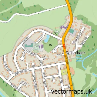
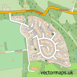
This Chapelhall street map is a detailed vector street map covering a 750m x 750m area. Select a larger area to create and download your own vector street map of Chapelhall.
The 750-metre map sample for Chapelhall covers 453 mapped buildings and approximately 19.5 km of road detail, of which 38 named roads are named. The immediate area includes 1 GP surgery, with 7 within 2 miles, 2 pubs and 2 MOT stations, with 10 within 2 miles. The wider area around Chapelhall features 3 food and drink venues and 1 hotel. To create a larger or custom map of Chapelhall, the map builder lets you define your own coverage area and download editable SVG, PDF and PNG files.
Create a larger editable map of Chapelhall
Choose any area you need and generate a high-quality vector map instantly. Perfect for print, planning, design, business and personal use.

This Chapelhall street map in Lanarkshire is available as downloadable SVG, PDF and PNG map files, or as a printed map for planning, business, display, education, local information and design work. You can also create a larger custom map area using the map selector.
What this Chapelhall map sample shows
Chapelhall lies within North Lanarkshire parish, part of Airdrie South ward in the North Lanarkshire local authority area. The postcode geography for this area includes the ML postcode area, the ML6 postcode district and the ML6 8 postcode sector. Residents fall under the Lanarkshire for NHS services.
Local features near Chapelhall
Within 2 milesAmenities and services in and around Chapelhall.
Administrative and postcode information for Chapelhall
The local authority covering Chapelhall is North Lanarkshire, within the county of Lanarkshire. The settlement lies within Airdrie South ward and North Lanarkshire civil parish. The ML6 postcode district and ML6 8 postcode sector serve the immediate area. NHS provision in the area is delivered through Lanarkshire.
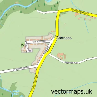
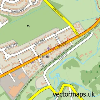
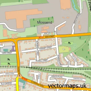
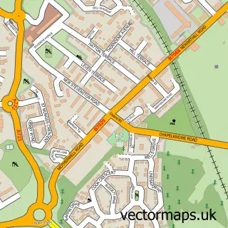
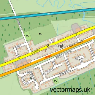
Nearby street map samples around Chapelhall

More street maps in Lanarkshire
750 metre map area coverage
Boundary, postcode and point of interest information for the 750m x 750m rectangle centred on this sample map.
Boundaries containing map centre
Constituency: Airdrie and Shotts Co Const
District: North Lanarkshire
Icb: Lanarkshire
Postcode District: ML6
Postcode Sector: ML6 8
Ward: Airdrie South Ward
Nearby boundaries intersecting sample
No additional intersecting boundaries found.
Postcode coverage
POI category counts
Automotive Repair: 4
Flowers And Gifts Shop: 3
Hair Salon: 3
Atms: 2
Automotive: 2
Bakery: 2
Beauty Salon: 2
Bed And Breakfast: 2
Chinese Restaurant: 2
Church Cathedral: 2
Sample points of interest
- Soccer Stars Academy
- Chapelhall
- ATM (Post Office)
- Morrisons Local Chapelhall (FZ), Chapelhall
- Hatties Autobody Repairs
- Mirror Finish Details
- AA Mobility
- Performance Body Shop
- Airdrie Auto Solutions
- Hattie's Autos
- Millers of Chapelhall
- Performance Bodyshop
Create a larger editable map of Chapelhall
This sample shows only a 750 metre area. To create a larger map of Chapelhall, use our map builder to choose your own coverage area, add titles and download editable SVG, PDF and PNG files.
Create a custom map of Chapelhall