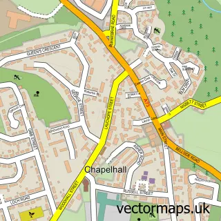
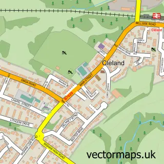
This Salsburgh street map is a detailed vector street map covering a 750m x 750m area. Select a larger area to create and download your own vector street map of Salsburgh.
The 750-metre map sample for Salsburgh covers 241 mapped buildings and approximately 18.6 km of road detail, of which 17 named roads are named. The immediate area includes 1 pub and 1 MOT station. The wider area around Salsburgh features 1 food and drink venue. To create a larger or custom map of Salsburgh, the map builder lets you define your own coverage area and download editable SVG, PDF and PNG files.
Create a larger editable map of Salsburgh
Choose any area you need and generate a high-quality vector map instantly. Perfect for print, planning, design, business and personal use.

This Salsburgh street map in Lanarkshire is available as downloadable SVG, PDF and PNG map files, or as a printed map for planning, business, display, education, local information and design work. You can also create a larger custom map area using the map selector.
What this Salsburgh map sample shows
Salsburgh lies within North Lanarkshire parish, part of Fortissat ward in the North Lanarkshire local authority area. The postcode geography for this area includes the ML postcode area, the ML1 postcode district and the ML1 5 postcode sector. Residents fall under the Lanarkshire for NHS services.
Local features near Salsburgh
Within 2 milesAmenities and services in and around Salsburgh.
Administrative and postcode information for Salsburgh
The local authority covering Salsburgh is North Lanarkshire, within the county of Lanarkshire. The settlement lies within Fortissat ward and North Lanarkshire civil parish. The ML1 postcode district and ML1 5 postcode sector serve the immediate area. NHS provision in the area is delivered through Lanarkshire.
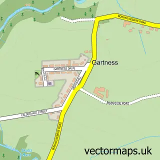
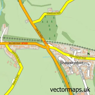
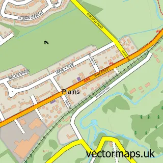
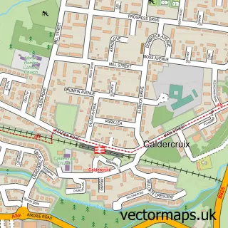
Nearby street map samples around Salsburgh

More street maps in Lanarkshire
750 metre map area coverage
Boundary, postcode and point of interest information for the 750m x 750m rectangle centred on this sample map.
Boundaries containing map centre
Constituency: Airdrie and Shotts Co Const
District: North Lanarkshire
Icb: Lanarkshire
Postcode District: ML7
Postcode Sector: ML7 4
Ward: Fortissat Ward
Nearby boundaries intersecting sample
Postcode District: ML1
Postcode Sector: ML1 5
Postcode coverage
POI category counts
Shipping Center: 2
Atms: 1
Bar: 1
Building Supply Store: 1
Business Management Services: 1
Business To Business: 1
Car Dealer: 1
Community Center: 1
Driving School: 1
Fast Food Restaurant: 1
Sample points of interest
- JP MINI MARKET (Mirren) (Protected), SALSBURGH
- Lay by
- Mark Sweeney Roofing
- Macphails
- Remac Utility Services Ltd.
- J and E Motors
- Salsburgh Community Centre
- Dragonfly Driver Training
- Indian Chef
- MacPhails Coaches Ltd
- Indian Chef
- F M Nutrition
Create a larger editable map of Salsburgh
This sample shows only a 750 metre area. To create a larger map of Salsburgh, use our map builder to choose your own coverage area, add titles and download editable SVG, PDF and PNG files.
Create a custom map of Salsburgh