Vector Maps logo
Home Why it works Popular maps Districts Samples Customizer Create Your Map
VectorMaps.uk
Home Popular maps Districts Samples Customizer Create Your Map Privacy Disclaimer
Home / UK Maps / Lanarkshire / Plains Map

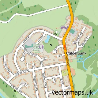
This Plains street map is a detailed vector street map covering a 750m x 750m area. Select a larger area to create and download your own vector street map of Plains.

Plains is a village in Lanarkshire, in the Central Scotland of Scotland. The settlement falls within the Airdrie And Shotts parliamentary constituency. It is served by the ML6 postcode district, with ML6 7 as the local postcode sector.

The 750-metre map sample for Plains covers 228 mapped buildings and approximately 13.8 km of road detail, of which 15 named roads are named. The immediate area includes 3 MOT stations within 2 miles. The wider area around Plains features 1 tourism point of interest. To create a larger or custom map of Plains, the map builder lets you define your own coverage area and download editable SVG, PDF and PNG files.

228Buildings
13.8 kmRoads
15Named roads
0Residents within 2 miles
Create your own

Create a larger editable map of Plains

Choose any area you need and generate a high-quality vector map instantly. Perfect for print, planning, design, business and personal use.

Choose any location
Editable SVG files
Any size up to A0
PDF, PNG & more
Instant download
High quality guaranteed
Create My Custom Map
Secure, private & no credit card required
Plains Vector Street Map
750m Sample
Plains vector street map sample showing roads, buildings and local features in a 750 metre preview area
Buy Plains Map Print from £12.95 Buy Plains Digital Map from £6

This Plains street map in Lanarkshire is available as downloadable SVG, PDF and PNG map files, or as a printed map for planning, business, display, education, local information and design work. You can also create a larger custom map area using the map selector.

What this Plains map sample shows

Plains lies within North Lanarkshire parish, part of Airdrie North ward in the North Lanarkshire local authority area. The postcode geography for this area includes the ML postcode area, the ML6 postcode district and the ML6 7 postcode sector. Residents fall under the Lanarkshire for NHS services.

Local features near Plains

Within 2 miles

Amenities and services in and around Plains.

3 MOT stations within 2 miles
1 Tourism & leisure
2 Healthcare POIs

Counts are approximate and based on publicly available data.

Administrative and postcode information for Plains

Plains lies within North Lanarkshire parish, part of Airdrie North ward in the North Lanarkshire local authority area. The postcode geography for this area includes the ML postcode area, the ML6 postcode district and the ML6 7 postcode sector. Residents fall under the Lanarkshire for NHS services.

Parish NORTH LANARKSHIRE
Ward Airdrie North
District / local authority North Lanarkshire
County Lanarkshire
Historic county Lanarkshire
Postcode district ML6
Postcode sector ML6 7
Parliamentary constituency Airdrie and Shotts
Region Central Scotland
Country Scotland

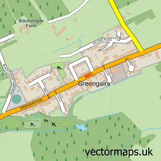
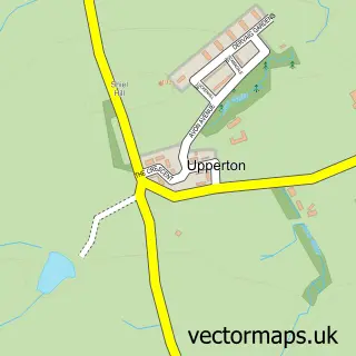
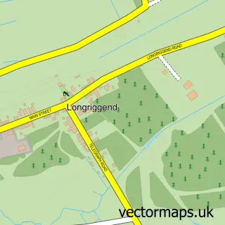
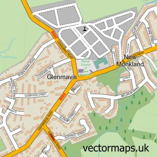
Nearby street map samples around Plains

Street map sample of Airdrie, Lanarkshire Airdrie Town - Lanarkshire - 2.4 miles Street map sample of Glasgow, City of Glasgow Glasgow City - City of Glasgow - 12.7 miles Street map sample of Caldercruix, Lanarkshire Caldercruix Village - Lanarkshire - 1.5 miles Street map sample of Gartness, Lanarkshire Gartness Village - Lanarkshire - 1.9 miles Street map sample of Wattston, Lanarkshire Wattston Village - Lanarkshire - 2.4 miles Street map sample of Greengairs, Lanarkshire Greengairs Village - Lanarkshire - 2.4 miles Street map sample of Upperton, Lanarkshire Upperton Village - Lanarkshire - 2.6 miles Street map sample of Longriggend, Lanarkshire Longriggend Village - Lanarkshire - 2.6 miles Street map sample of Glenmavis, Lanarkshire Glenmavis Village - Lanarkshire - 2.8 miles Street map sample of Calderbank, Lanarkshire Calderbank Village - Lanarkshire - 3.0 miles

More street maps in Lanarkshire

Street map sample of Caldercruix, Lanarkshire Caldercruix Village - 1.5 miles Street map sample of Gartness, Lanarkshire Gartness Village - 1.9 miles Street map sample of Wattston, Lanarkshire Wattston Village - 2.4 miles Street map sample of Airdrie, Lanarkshire Airdrie Town - 2.4 miles Street map sample of Greengairs, Lanarkshire Greengairs Village - 2.4 miles

750 metre map area coverage

Boundary, postcode and point of interest information for the 750m x 750m rectangle centred on this sample map.

Boundaries containing map centre

Constituency: Airdrie and Shotts Co Const

District: North Lanarkshire

Icb: Lanarkshire

Postcode District: ML6

Postcode Sector: ML6 7

Ward: Airdrie North Ward

Nearby boundaries intersecting sample

Postcode Sector: ML6 8

Postcode coverage

ML6 ML6 7 ML6 8

POI category counts

Convenience Store: 2

Pharmacy: 2

Professional Services: 2

Bakery: 1

Beauty And Spa: 1

Building Supply Store: 1

Church Cathedral: 1

Evangelical Church: 1

Event Planning: 1

Fish And Chips Restaurant: 1

Sample points of interest

  • The new pantry Bakery
  • Sculpting Beauty Beauty And Spa
  • Rowan Timber Supplies Building Supply Store
  • Elim Gospel Hall Church Cathedral
  • Costcutter Convenience Store
  • Costcutter Convenience Store
  • Plains Evangelical Church Evangelical Church
  • Little devils castles Event Planning
  • Tony's Fish and Chip Shop Fish And Chips Restaurant
  • Evri ParcelShop Food Delivery Service
  • Smartways Grocery Store
  • Tony's Tandoori Indian Restaurant

Create a larger editable map of Plains

This sample shows only a 750 metre area. To create a larger map of Plains, use our map builder to choose your own coverage area, add titles and download editable SVG, PDF and PNG files.

Create a custom map of Plains

Phone 01751 473136 | Copyright Vectormaps.uk 2026

Samples Customizer Privacy Disclaimer
Plains Vector Street Map
Plains enlarged street map sample showing a 750 metre preview area