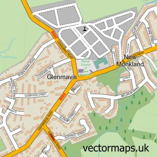
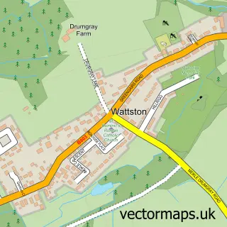
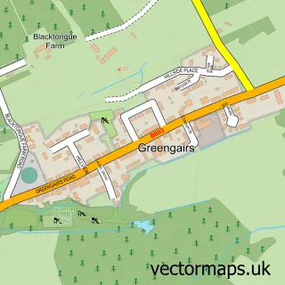
This Airdrie street map is a detailed vector street map covering a 750m x 750m area. Select a larger area to create and download your own vector street map of Airdrie.
The 750-metre map sample for Airdrie covers 259 mapped buildings and approximately 20.7 km of road detail, of which 49 named roads are named. The immediate area includes 1 railway station, 5 GP surgeries, with 11 within 2 miles, 12 pubs and 1 MOT station, with 22 within 2 miles. The wider area around Airdrie features 3 tourism points of interest, 35 food and drink venues and 1 hotel. To create a larger or custom map of Airdrie, the map builder lets you define your own coverage area and download editable SVG, PDF and PNG files.
Create a larger editable map of Airdrie
Choose any area you need and generate a high-quality vector map instantly. Perfect for print, planning, design, business and personal use.

This Airdrie street map in Lanarkshire is available as downloadable SVG, PDF and PNG map files, or as a printed map for planning, business, display, education, local information and design work. You can also create a larger custom map area using the map selector.
What this Airdrie map sample shows
Airdrie lies within North Lanarkshire parish, part of Airdrie Central ward in the North Lanarkshire local authority area. The postcode geography for this area includes the ML postcode area, the ML6 postcode district and the ML6 6 postcode sector. Residents fall under the Lanarkshire for NHS services.
Local features near Airdrie
Within 2 milesAmenities and services in and around Airdrie.
Administrative and postcode information for Airdrie
The local authority covering Airdrie is North Lanarkshire, within the county of Lanarkshire. The settlement lies within Airdrie Central ward and North Lanarkshire civil parish. The ML6 postcode district and ML6 6 postcode sector serve the immediate area. NHS provision in the area is delivered through Lanarkshire.
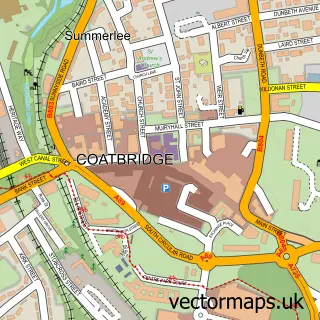
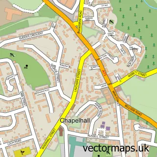
Nearby street map samples around Airdrie

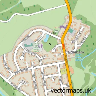
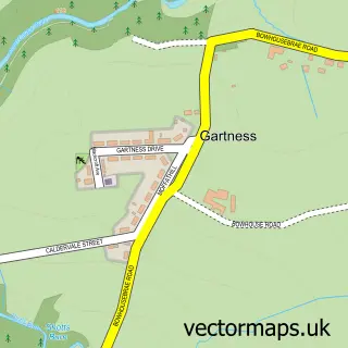
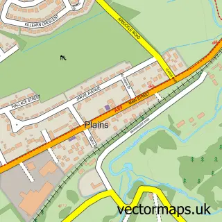
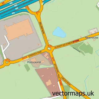
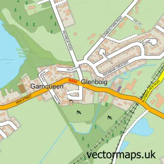
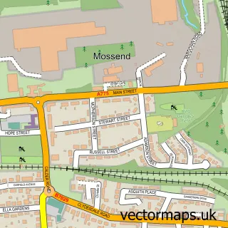
More street maps in Lanarkshire
750 metre map area coverage
Boundary, postcode and point of interest information for the 750m x 750m rectangle centred on this sample map.
Boundaries containing map centre
Constituency: Airdrie and Shotts Co Const
District: North Lanarkshire
Icb: Lanarkshire
Postcode District: ML6
Postcode Sector: ML6 6
Ward: Airdrie Central Ward
Nearby boundaries intersecting sample
Postcode Sector: ML6 0, ML6 9
Postcode coverage
POI category counts
Beauty Salon: 36
Hair Salon: 19
Beauty And Spa: 17
Barber: 16
Pub: 12
Charity Organization: 10
Fast Food Restaurant: 10
Flowers And Gifts Shop: 10
Legal Services: 10
Cafe: 9
Sample points of interest
- Millar & McIntyre Limited
- NKT Coatbridge and Airdrie
- Specialist Executive Travel
- Cheeky Monkeys Softplay
- Noble Amusements
- Broomknoll Jewellers & Antiques
- Countrywide North
- Make and Create Arts
- Bloomfield Tavern
- Bloomfield Tavern
- G1 Pipers
- Lost in Music
Create a larger editable map of Airdrie
This sample shows only a 750 metre area. To create a larger map of Airdrie, use our map builder to choose your own coverage area, add titles and download editable SVG, PDF and PNG files.
Create a custom map of Airdrie