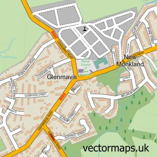
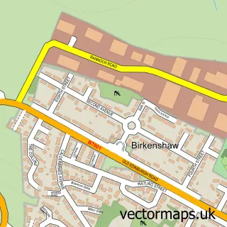
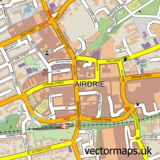
This Coatbridge street map is a detailed vector street map covering a 750m x 750m area. Select a larger area to create and download your own vector street map of Coatbridge.
The 750-metre map sample for Coatbridge covers 220 mapped buildings and approximately 20.8 km of road detail, of which 33 named roads are named. The immediate area includes 5 GP surgeries, with 11 within 2 miles, 8 pubs and 1 MOT station, with 18 within 2 miles. The wider area around Coatbridge features 5 tourism points of interest, 21 food and drink venues and 1 hotel. To create a larger or custom map of Coatbridge, the map builder lets you define your own coverage area and download editable SVG, PDF and PNG files.
Create a larger editable map of Coatbridge
Choose any area you need and generate a high-quality vector map instantly. Perfect for print, planning, design, business and personal use.

This Coatbridge street map in Lanarkshire is available as downloadable SVG, PDF and PNG map files, or as a printed map for planning, business, display, education, local information and design work. You can also create a larger custom map area using the map selector.
What this Coatbridge map sample shows
Coatbridge lies within North Lanarkshire parish, part of Coatbridge South ward in the North Lanarkshire local authority area. The postcode geography for this area includes the ML postcode area, the ML5 postcode district and the ML5 1 postcode sector. Residents fall under the Lanarkshire for NHS services.
Local features near Coatbridge
Within 2 milesAmenities and services in and around Coatbridge.
Administrative and postcode information for Coatbridge
Coatbridge lies within North Lanarkshire parish, part of Coatbridge South ward in the North Lanarkshire local authority area. The postcode geography for this area includes the ML postcode area, the ML5 postcode district and the ML5 1 postcode sector. Residents fall under the Lanarkshire for NHS services.
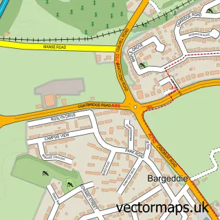
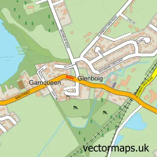
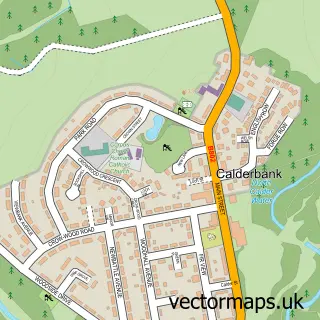
Nearby street map samples around Coatbridge

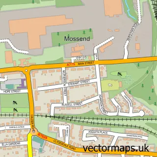
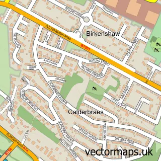
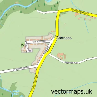
More street maps in Lanarkshire
750 metre map area coverage
Boundary, postcode and point of interest information for the 750m x 750m rectangle centred on this sample map.
Boundaries containing map centre
Constituency: Coatbridge and Bellshill Burgh Const
District: North Lanarkshire
Icb: Lanarkshire
Postcode District: ML5
Postcode Sector: ML5 3
Ward: Coatbridge North Ward
Nearby boundaries intersecting sample
Postcode Sector: ML5 1
Ward: Coatbridge South Ward
Postcode coverage
POI category counts
Doctor: 11
Beauty Salon: 10
Financial Service: 10
Clothing Store: 9
Dentist: 9
Bar: 8
Hair Salon: 8
Pub: 8
Barber: 7
Cafe: 6
Sample points of interest
- Heart And Soul Ministry
- Kirk Street
- Monsanto Dairy Farm
- St Andrews Hospice Shop
- Nisa Local
- Tesco Bank
- Hc2m Independent Mortgage Shop
- Lanarkshire Mortgage Centre
- Airdrie Tyre Services
- Moto Parts
- Olirobs Garage
- Pro Bodyshop Coatbridge
Create a larger editable map of Coatbridge
This sample shows only a 750 metre area. To create a larger map of Coatbridge, use our map builder to choose your own coverage area, add titles and download editable SVG, PDF and PNG files.
Create a custom map of Coatbridge