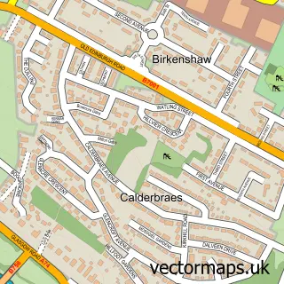
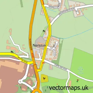
This Birkenshaw street map is a detailed vector street map covering a 750m x 750m area. Select a larger area to create and download your own vector street map of Birkenshaw.
The 750-metre map sample for Birkenshaw covers 317 mapped buildings and approximately 15.5 km of road detail, of which 23 named roads are named. The immediate area includes 5 GP surgeries within 2 miles and 16 MOT stations within 2 miles. The wider area around Birkenshaw features 1 tourism point of interest and 4 food and drink venues. To create a larger or custom map of Birkenshaw, the map builder lets you define your own coverage area and download editable SVG, PDF and PNG files.
Create a larger editable map of Birkenshaw
Choose any area you need and generate a high-quality vector map instantly. Perfect for print, planning, design, business and personal use.

This Birkenshaw street map in Lanarkshire is available as downloadable SVG, PDF and PNG map files, or as a printed map for planning, business, display, education, local information and design work. You can also create a larger custom map area using the map selector.
What this Birkenshaw map sample shows
Birkenshaw lies within North Lanarkshire parish, part of Thorniewood ward in the North Lanarkshire local authority area. The postcode geography for this area includes the G postcode area, the G71 postcode district and the G71 6 postcode sector. Residents fall under the Lanarkshire for NHS services.
Local features near Birkenshaw
Within 2 milesAmenities and services in and around Birkenshaw.
Administrative and postcode information for Birkenshaw
The local authority covering Birkenshaw is North Lanarkshire, within the county of Lanarkshire. The settlement lies within Thorniewood ward and North Lanarkshire civil parish. The G71 postcode district and G71 6 postcode sector serve the immediate area. NHS provision in the area is delivered through Lanarkshire.
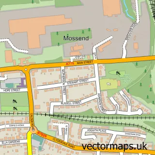
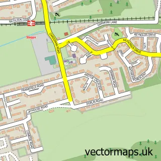
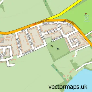
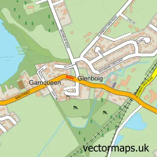
Nearby street map samples around Birkenshaw
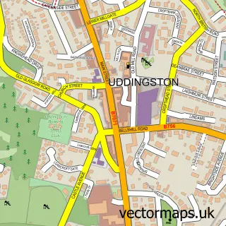

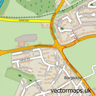
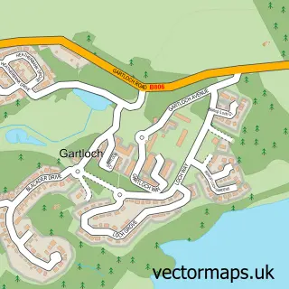
More street maps in Lanarkshire
750 metre map area coverage
Boundary, postcode and point of interest information for the 750m x 750m rectangle centred on this sample map.
Boundaries containing map centre
Constituency: Coatbridge and Bellshill Burgh Const
District: North Lanarkshire
Icb: Lanarkshire
Postcode District: G71
Postcode Sector: G71 6
Ward: Thorniewood Ward
Nearby boundaries intersecting sample
Postcode Sector: G71 5
Postcode coverage
POI category counts
Furniture Store: 14
Retail: 6
Electronics: 4
Home Decor: 4
Carpet Store: 3
Arts And Crafts: 2
Cafe: 2
Mobile Phone Store: 2
Professional Services: 2
Barber: 1
Sample points of interest
- Focus DIY
- Texstyle Fads
- Chiko's Barbers Tannochside
- Taylored Beauty Therapy
- Salon Supreme Brows
- Everything Vintage For Tea Time
- Propertyfix Direct
- Marley Plumbing & Drainage
- Pausa Cafe (Inside Dunelm)
- Sugar ’n’ Slice
- Carpet King
- Carpetright Uddingston - Beds Store
Create a larger editable map of Birkenshaw
This sample shows only a 750 metre area. To create a larger map of Birkenshaw, use our map builder to choose your own coverage area, add titles and download editable SVG, PDF and PNG files.
Create a custom map of Birkenshaw