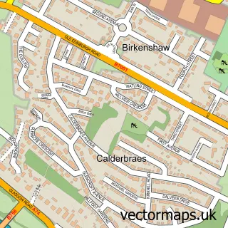
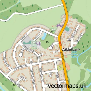
This Viewpark street map is a detailed vector street map covering a 750m x 750m area. Select a larger area to create and download your own vector street map of Viewpark.
The 750-metre map sample for Viewpark covers 428 mapped buildings and approximately 19.3 km of road detail, of which 35 named roads are named. The immediate area includes 2 GP surgeries, with 5 within 2 miles, 2 pubs and 1 MOT station, with 11 within 2 miles. The wider area around Viewpark features 2 tourism points of interest, 7 food and drink venues and 1 campsite within 2 miles. To create a larger or custom map of Viewpark, the map builder lets you define your own coverage area and download editable SVG, PDF and PNG files.
Create a larger editable map of Viewpark
Choose any area you need and generate a high-quality vector map instantly. Perfect for print, planning, design, business and personal use.

This Viewpark street map in Lanarkshire is available as downloadable SVG, PDF and PNG map files, or as a printed map for planning, business, display, education, local information and design work. You can also create a larger custom map area using the map selector.
What this Viewpark map sample shows
Viewpark lies within North Lanarkshire parish, part of Thorniewood ward in the North Lanarkshire local authority area. The postcode geography for this area includes the G postcode area, the G71 postcode district and the G71 5 postcode sector. Residents fall under the Lanarkshire for NHS services.
Local features near Viewpark
Within 2 milesAmenities and services in and around Viewpark.
Administrative and postcode information for Viewpark
The local authority covering Viewpark is North Lanarkshire, within the county of Lanarkshire. The settlement lies within Thorniewood ward and North Lanarkshire civil parish. The G71 postcode district and G71 5 postcode sector serve the immediate area. NHS provision in the area is delivered through Lanarkshire.
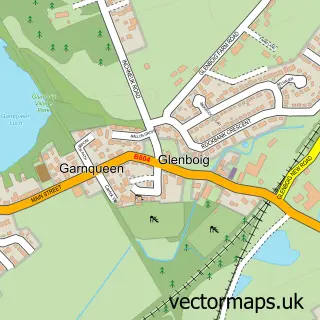
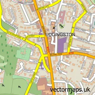
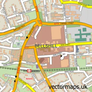
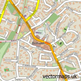
Nearby street map samples around Viewpark

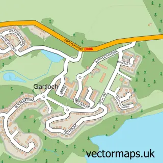
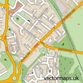
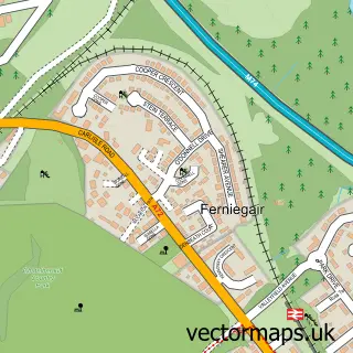
More street maps in Lanarkshire
750 metre map area coverage
Boundary, postcode and point of interest information for the 750m x 750m rectangle centred on this sample map.
Boundaries containing map centre
Constituency: Coatbridge and Bellshill Burgh Const
District: North Lanarkshire
Icb: Lanarkshire
Postcode District: G71
Postcode Sector: G71 6
Ward: Thorniewood Ward
Nearby boundaries intersecting sample
Postcode Sector: G71 5
Ward: Bellshill Ward
Postcode coverage
POI category counts
Carpet Store: 4
Restaurant: 4
Convenience Store: 3
Doctor: 3
Hair Salon: 3
Pharmacy: 3
Beauty Salon: 2
Building Supply Store: 2
Funeral Services And Cemeteries: 2
Furniture Manufacturers: 2
Sample points of interest
- Jimmy Johnston Memorial Garden Veiwpark
- Highgate Care Home
- Quality Store, Uddingston
- Viewpark Gardens Allotments
- Central Cars Co
- static barbers
- Jo McDonnell at WHITE HEART HAIR
- Sei Bella - Beauty
- Jazz Cafe
- Ibstock Scottish Brick
- J. Brown Tiling
- Neillyweb
Create a larger editable map of Viewpark
This sample shows only a 750 metre area. To create a larger map of Viewpark, use our map builder to choose your own coverage area, add titles and download editable SVG, PDF and PNG files.
Create a custom map of Viewpark