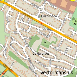
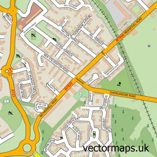
This Uddingston street map is a detailed vector street map covering a 750m x 750m area. Select a larger area to create and download your own vector street map of Uddingston.
The 750-metre map sample for Uddingston covers 447 mapped buildings and approximately 20.0 km of road detail, of which 43 named roads are named. The immediate area includes 4 GP surgeries within 2 miles, 4 pubs and 1 MOT station, with 12 within 2 miles. The wider area around Uddingston features 2 tourism points of interest, 13 food and drink venues and 1 hotel. To create a larger or custom map of Uddingston, the map builder lets you define your own coverage area and download editable SVG, PDF and PNG files.
Create a larger editable map of Uddingston
Choose any area you need and generate a high-quality vector map instantly. Perfect for print, planning, design, business and personal use.

This Uddingston street map in Lanarkshire is available as downloadable SVG, PDF and PNG map files, or as a printed map for planning, business, display, education, local information and design work. You can also create a larger custom map area using the map selector.
What this Uddingston map sample shows
Uddingston lies within South Lanarkshire parish, part of Bothwell And Uddingston ward in the South Lanarkshire local authority area. The postcode geography for this area includes the G postcode area, the G71 postcode district and the G71 7 postcode sector. Residents fall under the Lanarkshire for NHS services.
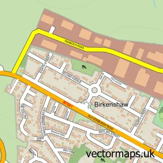
Local features near Uddingston
Within 2 milesAmenities and services in and around Uddingston.
Administrative and postcode information for Uddingston
Uddingston lies within South Lanarkshire parish, part of Bothwell And Uddingston ward in the South Lanarkshire local authority area. The postcode geography for this area includes the G postcode area, the G71 postcode district and the G71 7 postcode sector. Residents fall under the Lanarkshire for NHS services.
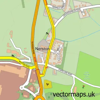
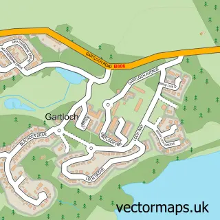
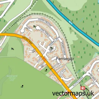
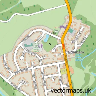
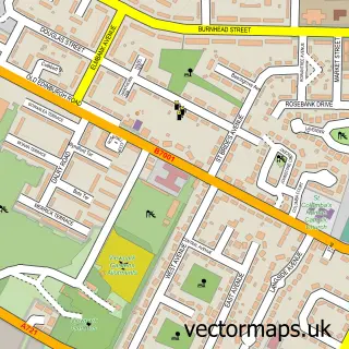
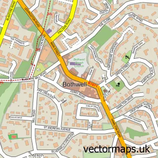
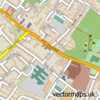
Nearby street map samples around Uddingston

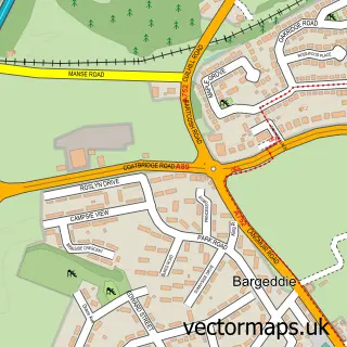
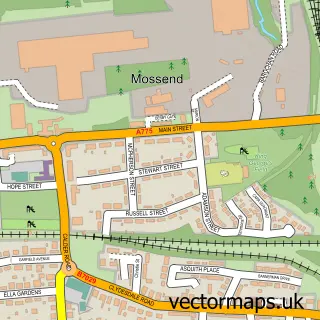
More street maps in Lanarkshire
750 metre map area coverage
Boundary, postcode and point of interest information for the 750m x 750m rectangle centred on this sample map.
Boundaries containing map centre
Constituency: Rutherglen Burgh Const
District: South Lanarkshire
Icb: Lanarkshire
Postcode District: G71
Postcode Sector: G71 7
Ward: Bothwell and Uddingston Ward
Nearby boundaries intersecting sample
Postcode Sector: G71 8
Postcode coverage
POI category counts
Beauty Salon: 13
Church Cathedral: 6
Cafe: 5
Convenience Store: 5
Gas Station: 5
Pharmacy: 5
Real Estate Agent: 5
Betting Center: 4
Funeral Services And Cemeteries: 4
Hair Salon: 4
Sample points of interest
- Birkenshaw Clinic of Acupuncture
- St Andrews Hospice Shop
- Croftbank Nursing Home
- Margaret Blackwood Housing Association
- Payzone
- Access Mortgages
- Uddingston Service and MOT Centre
- Bib & Tucker
- Pauls & Zapatitos
- Greggs
- Tunnock's
- Bank of Scotland
Create a larger editable map of Uddingston
This sample shows only a 750 metre area. To create a larger map of Uddingston, use our map builder to choose your own coverage area, add titles and download editable SVG, PDF and PNG files.
Create a custom map of Uddingston