Vector Maps logo
Home Why it works Popular maps Districts Samples Customizer Create Your Map
VectorMaps.uk
Home Popular maps Districts Samples Customizer Create Your Map Privacy Disclaimer
Home / UK Maps / Lanarkshire / Nerston Village Map

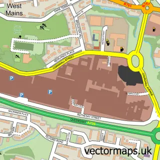
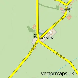
This Nerston Village street map is a detailed vector street map covering a 750m x 750m area. Select a larger area to create and download your own vector street map of Nerston Village.

Nerston Village is a village in Lanarkshire, in the Central Scotland of Scotland. The settlement falls within the East Kilbride, Strathaven And Lesmahagow parliamentary constituency. It is served by the G74 postcode district, with G74 4 as the local postc

The 750-metre map sample for Nerston Village covers 116 mapped buildings and approximately 10.6 km of road detail, of which 9 named roads are named. The immediate area includes 8 GP surgeries within 2 miles and 6 MOT stations within 2 miles. The wider area around Nerston Village features 1 tourism point of interest and 5 food and drink venues. To create a larger or custom map of Nerston Village, the map builder lets you define your own coverage area and download editable SVG, PDF and PNG files.

116Buildings
10.58 kmRoads
9Named roads
0Residents within 2 miles
Create your own

Create a larger editable map of Nerston Village

Choose any area you need and generate a high-quality vector map instantly. Perfect for print, planning, design, business and personal use.

Choose any location
Editable SVG files
Any size up to A0
PDF, PNG & more
Instant download
High quality guaranteed
Create My Custom Map
Secure, private & no credit card required
Nerston Village Vector Street Map
750m Sample
Nerston Village vector street map sample showing roads, buildings and local features in a 750 metre preview area
Buy Nerston Village Map Print from £12.95 Buy Nerston Village Digital Map from £6

This Nerston Village street map in Lanarkshire is available as downloadable SVG, PDF and PNG map files, or as a printed map for planning, business, display, education, local information and design work. You can also create a larger custom map area using the map selector.

What this Nerston Village map sample shows

Nerston Village lies within South Lanarkshire parish, part of East Kilbride East ward in the South Lanarkshire local authority area. The postcode geography for this area includes the G postcode area, the G74 postcode district and the G74 4 postcode sector. Residents fall under the Lanarkshire for NHS services.

Local features near Nerston Village

Within 2 miles

Amenities and services in and around Nerston Village.

8 GP surgeries within 2 miles
6 MOT stations within 2 miles
1 Tourism & leisure
5 Food & drink
2 Healthcare POIs
2 Vehicle services

Counts are approximate and based on publicly available data.

Administrative and postcode information for Nerston Village

The local authority covering Nerston Village is South Lanarkshire, within the county of Lanarkshire. The settlement lies within East Kilbride East ward and South Lanarkshire civil parish. The G74 postcode district and G74 4 postcode sector serve the immediate area. NHS provision in the area is delivered through Lanarkshire.

Parish SOUTH LANARKSHIRE
Ward East Kilbride East
District / local authority South Lanarkshire
County Lanarkshire
Historic county Lanarkshire
Postcode district G74
Postcode sector G74 4
Parliamentary constituency East Kilbride, Strathaven and Lesmahagow
Region Central Scotland
Country Scotland

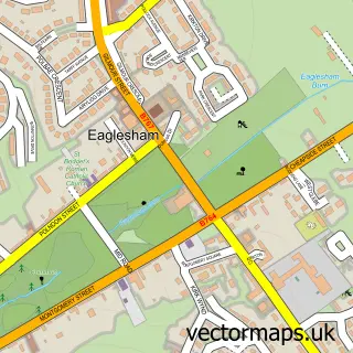
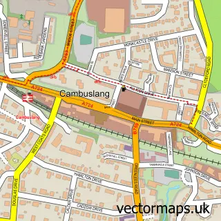
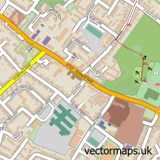
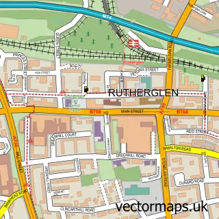
Nearby street map samples around Nerston Village

Street map sample of East Kilbride, Lanarkshire East Kilbride Town - Lanarkshire - 1.8 miles Street map sample of Glasgow, City of Glasgow Glasgow City - City of Glasgow - 6.2 miles Street map sample of Carmunnock, City of Glasgow Carmunnock Village - City of Glasgow - 2.8 miles Street map sample of Thorntonhall, Lanarkshire Thorntonhall Village - Lanarkshire - 3.6 miles Street map sample of Busby, Renfrewshire Busby Village - Renfrewshire - 3.9 miles Street map sample of Auldhouse, Lanarkshire Auldhouse Village - Lanarkshire - 4.3 miles Street map sample of Calderbraes, Lanarkshire Calderbraes Village - Lanarkshire - 4.4 miles Street map sample of Birkenshaw, Lanarkshire Birkenshaw Village - Lanarkshire - 4.5 miles Street map sample of Waterfoot, Renfrewshire Waterfoot Village - Renfrewshire - 4.8 miles Street map sample of Eaglesham, Renfrewshire Eaglesham Village - Renfrewshire - 5.3 miles

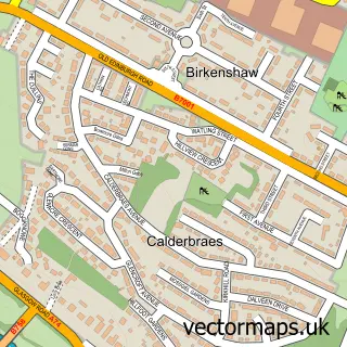
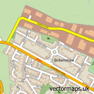
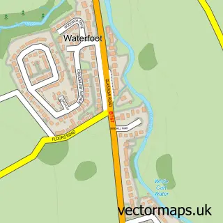
More street maps in Lanarkshire

Street map sample of East Kilbride, Lanarkshire East Kilbride Town - 1.8 miles Street map sample of Cambuslang, Lanarkshire Cambuslang Town - 2.3 miles Street map sample of Blantyre, Lanarkshire Blantyre Town - 2.9 miles Street map sample of Rutherglen, Lanarkshire Rutherglen Town - 3.5 miles Street map sample of Thorntonhall, Lanarkshire Thorntonhall Village - 3.6 miles

750 metre map area coverage

Boundary, postcode and point of interest information for the 750m x 750m rectangle centred on this sample map.

Boundaries containing map centre

Constituency: East Kilbride and Strathaven Co Const

District: South Lanarkshire

Icb: Lanarkshire

Postcode District: G74

Postcode Sector: G74 4

Ward: East Kilbride East Ward

Nearby boundaries intersecting sample

Ward: East Kilbride West Ward

Postcode coverage

G74 G74 4

POI category counts

Coffee Shop: 5

Supermarket: 5

Department Store: 3

Retirement Home: 3

Assisted Living Facility: 2

Clothing Store: 2

Discount Store: 2

Fast Food Restaurant: 2

Gas Station: 2

Jewelry Store: 2

Sample points of interest

  • Nerston Village Accommodation
  • Cathkin House Assisted Living Facility
  • Cathkin House Care Home Assisted Living Facility
  • East Kilbride Auto Parts And Supply Store
  • Halfords Automotive Parts And Accessories
  • Greggs Bakery
  • East Kilbride RP Beauty Studio Beauty And Spa
  • Bareface aesthetics by Natasha Beauty Salon
  • Burger King Burger Restaurant
  • Muller Milk and Ingredients Business Manufacturing And Supply
  • PixiFoto (inside Mothercare) Childrens Clothing Store
  • Next Clothing Store

Create a larger editable map of Nerston Village

This sample shows only a 750 metre area. To create a larger map of Nerston Village, use our map builder to choose your own coverage area, add titles and download editable SVG, PDF and PNG files.

Create a custom map of Nerston Village

Phone 01751 473136 | Copyright Vectormaps.uk 2026

Samples Customizer Privacy Disclaimer
Nerston Village Vector Street Map
Nerston Village enlarged street map sample showing a 750 metre preview area