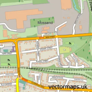
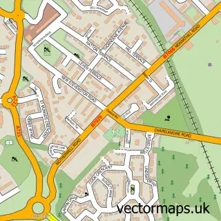
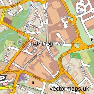
This Blantyre street map is a detailed vector street map covering a 750m x 750m area. Select a larger area to create and download your own vector street map of Blantyre.
The 750-metre map sample for Blantyre covers 357 mapped buildings and approximately 16.4 km of road detail, of which 43 named roads are named. The immediate area includes 4 GP surgeries, with 10 within 2 miles, 2 pubs and 1 MOT station, with 21 within 2 miles. The wider area around Blantyre features 3 tourism points of interest, 9 food and drink venues and 1 campsite within 2 miles. To create a larger or custom map of Blantyre, the map builder lets you define your own coverage area and download editable SVG, PDF and PNG files.
Create a larger editable map of Blantyre
Choose any area you need and generate a high-quality vector map instantly. Perfect for print, planning, design, business and personal use.

This Blantyre street map in Lanarkshire is available as downloadable SVG, PDF and PNG map files, or as a printed map for planning, business, display, education, local information and design work. You can also create a larger custom map area using the map selector.
What this Blantyre map sample shows
Blantyre lies within South Lanarkshire parish, part of Blantyre ward in the South Lanarkshire local authority area. The postcode geography for this area includes the G postcode area, the G72 postcode district and the G72 9 postcode sector. Residents fall under the Lanarkshire for NHS services.
Local features near Blantyre
Within 2 milesAmenities and services in and around Blantyre.
Administrative and postcode information for Blantyre
The local authority covering Blantyre is South Lanarkshire, within the county of Lanarkshire. The settlement lies within Blantyre ward and South Lanarkshire civil parish. The G72 postcode district and G72 9 postcode sector serve the immediate area. NHS provision in the area is delivered through Lanarkshire.
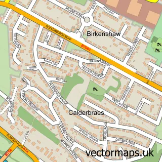
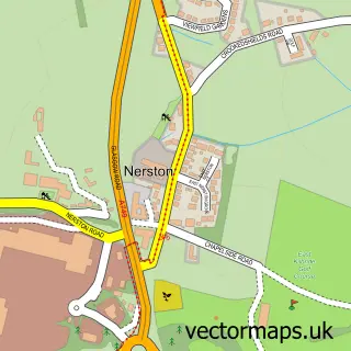
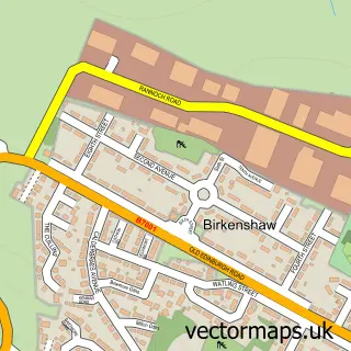
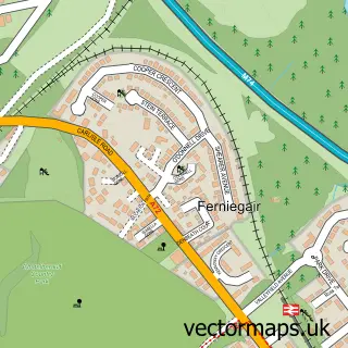
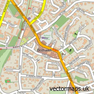
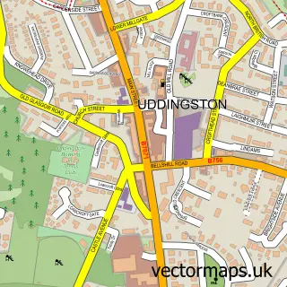
Nearby street map samples around Blantyre

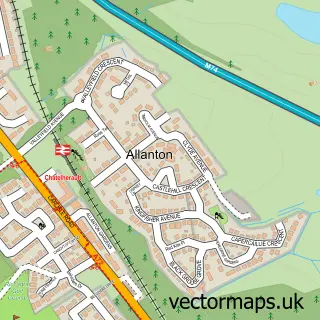
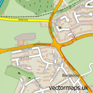
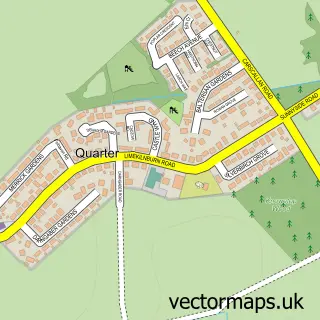
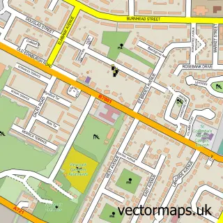
More street maps in Lanarkshire
750 metre map area coverage
Boundary, postcode and point of interest information for the 750m x 750m rectangle centred on this sample map.
Boundaries containing map centre
Constituency: Rutherglen Burgh Const
District: South Lanarkshire
Icb: Lanarkshire
Postcode District: G72
Postcode Sector: G72 0
Ward: Blantyre Ward
Nearby boundaries intersecting sample
Postcode Sector: G72 9
Postcode coverage
POI category counts
Beauty Salon: 7
Supermarket: 6
Automotive Repair: 5
Charity Organization: 5
Doctor: 5
Professional Services: 5
Convenience Store: 4
Hair Salon: 4
Pharmacy: 4
Restaurant: 4
Sample points of interest
- Stonefield Rooms
- Blantyre Sports Centre
- Marie Curie Cancer Care
- Victoria House Care Home
- Blantyre Miners Community Garden
- Kennedy Coachworks
- Mitchells Fleet Management
- Blantyre body shop
- CLN Motors
- Kennedy Travel Services
- Roselea Garage
- Stoddart of Blantyre
Create a larger editable map of Blantyre
This sample shows only a 750 metre area. To create a larger map of Blantyre, use our map builder to choose your own coverage area, add titles and download editable SVG, PDF and PNG files.
Create a custom map of Blantyre