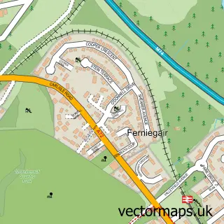
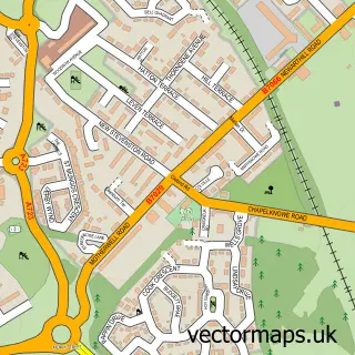
This Hamilton street map is a detailed vector street map covering a 750m x 750m area. Select a larger area to create and download your own vector street map of Hamilton.
The 750-metre map sample for Hamilton covers 213 mapped buildings and approximately 22.9 km of road detail, of which 46 named roads are named. The immediate area includes 1 railway station, 1 GP surgery, with 9 within 2 miles, 7 pubs and 1 MOT station, with 20 within 2 miles. The wider area around Hamilton features 5 tourism points of interest, 34 food and drink venues and 1 hotel. To create a larger or custom map of Hamilton, the map builder lets you define your own coverage area and download editable SVG, PDF and PNG files.
Create a larger editable map of Hamilton
Choose any area you need and generate a high-quality vector map instantly. Perfect for print, planning, design, business and personal use.

This Hamilton street map in Lanarkshire is available as downloadable SVG, PDF and PNG map files, or as a printed map for planning, business, display, education, local information and design work. You can also create a larger custom map area using the map selector.
What this Hamilton map sample shows
Hamilton lies within South Lanarkshire parish, part of Hamilton North And East ward in the South Lanarkshire local authority area. The postcode geography for this area includes the ML postcode area, the ML3 postcode district and the ML3 7 postcode sector. Residents fall under the Lanarkshire for NHS services.
Local features near Hamilton
Within 2 milesAmenities and services in and around Hamilton.
Administrative and postcode information for Hamilton
The local authority covering Hamilton is South Lanarkshire, within the county of Lanarkshire. The settlement lies within Hamilton North And East ward and South Lanarkshire civil parish. The ML3 postcode district and ML3 7 postcode sector serve the immediate area. NHS provision in the area is delivered through Lanarkshire.
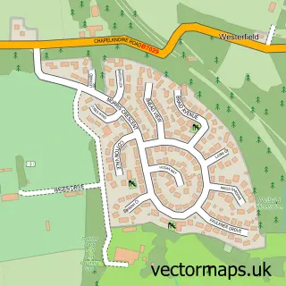
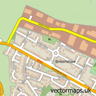
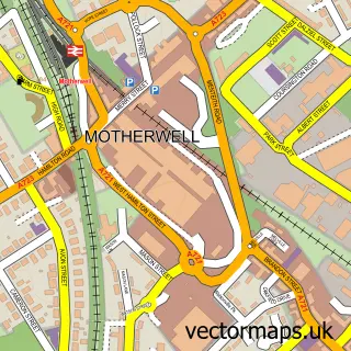
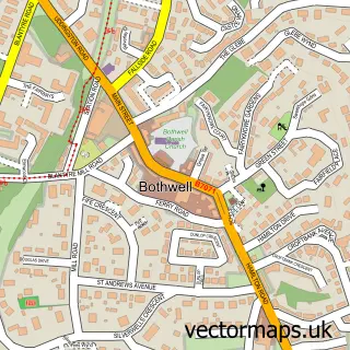
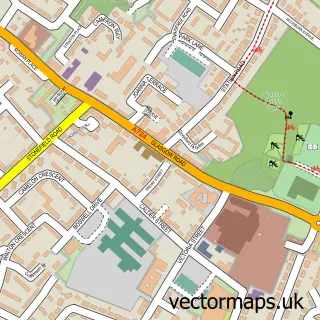
Nearby street map samples around Hamilton

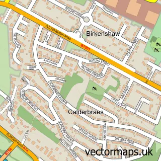
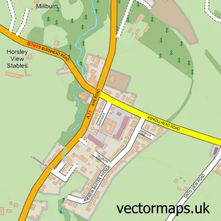
More street maps in Lanarkshire
750 metre map area coverage
Boundary, postcode and point of interest information for the 750m x 750m rectangle centred on this sample map.
Boundaries containing map centre
Constituency: Hamilton and Clyde Valley Co Const
District: South Lanarkshire
Icb: Lanarkshire
Postcode District: ML3
Postcode Sector: ML3 7
Ward: Hamilton North and East Ward
Nearby boundaries intersecting sample
Postcode Sector: ML3 6
Ward: Hamilton South Ward
Postcode coverage
POI category counts
Beauty Salon: 23
Bar: 14
Clothing Store: 14
Mobile Phone Store: 13
Real Estate Agent: 13
Tattoo And Piercing: 12
Coffee Shop: 11
Hair Salon: 10
Cafe: 9
Charity Organization: 9
Sample points of interest
- Accountants Plus
- Smith Inglis & Tait Ltd.
- Smith Inglis and Co
- TaxAssist Accountants
- Tai Chi Wellness Centre
- Proclaim Care
- Ireland Airport
- Shelter
- St Andrews Hospice Shop
- Countrywide North
- Countrywide Scotland Lettings
- Countrywide Scotland Sales And Letting Agents Hamilton
Create a larger editable map of Hamilton
This sample shows only a 750 metre area. To create a larger map of Hamilton, use our map builder to choose your own coverage area, add titles and download editable SVG, PDF and PNG files.
Create a custom map of Hamilton