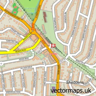
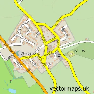
This Thorntonhall street map is a detailed vector street map covering a 750m x 750m area. Select a larger area to create and download your own vector street map of Thorntonhall.
The 750-metre map sample for Thorntonhall covers 178 mapped buildings and approximately 8.0 km of road detail, of which 16 named roads are named. The immediate area includes 1 railway station, 2 GP surgeries within 2 miles and 11 MOT stations within 2 miles. To create a larger or custom map of Thorntonhall, the map builder lets you define your own coverage area and download editable SVG, PDF and PNG files.
Create a larger editable map of Thorntonhall
Choose any area you need and generate a high-quality vector map instantly. Perfect for print, planning, design, business and personal use.

This Thorntonhall street map in Lanarkshire is available as downloadable SVG, PDF and PNG map files, or as a printed map for planning, business, display, education, local information and design work. You can also create a larger custom map area using the map selector.
What this Thorntonhall map sample shows
Thorntonhall lies within South Lanarkshire parish, part of East Kilbride West ward in the South Lanarkshire local authority area. The postcode geography for this area includes the G postcode area, the G74 postcode district and the G74 5 postcode sector. Residents fall under the Lanarkshire for NHS services.
Local features near Thorntonhall
Within 2 milesAmenities and services in and around Thorntonhall.
Administrative and postcode information for Thorntonhall
Thorntonhall lies within South Lanarkshire parish, part of East Kilbride West ward in the South Lanarkshire local authority area. The postcode geography for this area includes the G postcode area, the G74 postcode district and the G74 5 postcode sector. Residents fall under the Lanarkshire for NHS services.
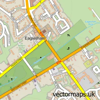
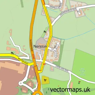
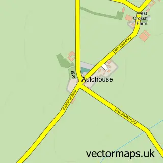
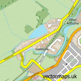
Nearby street map samples around Thorntonhall

More street maps in Lanarkshire
750 metre map area coverage
Boundary, postcode and point of interest information for the 750m x 750m rectangle centred on this sample map.
Boundaries containing map centre
Constituency: East Kilbride and Strathaven Co Const
District: South Lanarkshire
Icb: Lanarkshire
Postcode District: G74
Postcode Sector: G74 5
Ward: East Kilbride West Ward
Nearby boundaries intersecting sample
Constituency: East Renfrewshire Co Const
District: East Renfrewshire
Icb: Greater Glasgow and Clyde
Postcode District: G76
Postcode Sector: G76 8
Ward: Clarkston, Netherlee and Williamwood Ward
Postcode coverage
POI category counts
Train Station: 2
Accountant: 1
Skin Care: 1
Sports Club And League: 1
Sample points of interest
- Gardinger Ltd. T/A R Iain Gardner & Co.
- Thorntonhall Therapies
- Thorntonhall Lawn Tennis Club
- Thorntonhall
- Thorntonhall railway station
Create a larger editable map of Thorntonhall
This sample shows only a 750 metre area. To create a larger map of Thorntonhall, use our map builder to choose your own coverage area, add titles and download editable SVG, PDF and PNG files.
Create a custom map of Thorntonhall