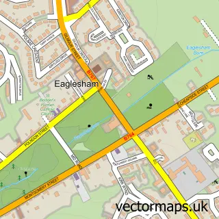
This Clarkston street map is a detailed vector street map covering a 750m x 750m area. Select a larger area to create and download your own vector street map of Clarkston.
The 750-metre map sample for Clarkston covers 626 mapped buildings and approximately 21.3 km of road detail, of which 36 named roads are named. The immediate area includes 1 railway station, 1 GP surgery, with 13 within 2 miles, 1 pub and 10 MOT stations within 2 miles. The wider area around Clarkston features 11 food and drink venues and 1 hotel. To create a larger or custom map of Clarkston, the map builder lets you define your own coverage area and download editable SVG, PDF and PNG files.
Create a larger editable map of Clarkston
Choose any area you need and generate a high-quality vector map instantly. Perfect for print, planning, design, business and personal use.

This Clarkston street map in Renfrewshire is available as downloadable SVG, PDF and PNG map files, or as a printed map for planning, business, display, education, local information and design work. You can also create a larger custom map area using the map selector.
What this Clarkston map sample shows
Clarkston lies within East Renfrewshire parish, part of Clarkston, Netherlee And Williamwood ward in the East Renfrewshire local authority area. The postcode geography for this area includes the G postcode area, the G76 postcode district and the G76 7 postcode sector. Residents fall under the Greater Glasgow And Clyde for NHS services.
Local features near Clarkston
Within 2 milesAmenities and services in and around Clarkston.
Administrative and postcode information for Clarkston
The local authority covering Clarkston is East Renfrewshire, within the county of Renfrewshire. The settlement lies within Clarkston, Netherlee And Williamwood ward and East Renfrewshire civil parish. The G76 postcode district and G76 7 postcode sector serve the immediate area. NHS provision in the area is delivered through Greater Glasgow And Clyde.
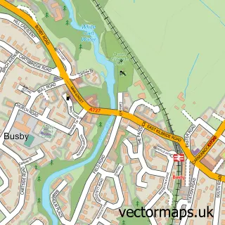
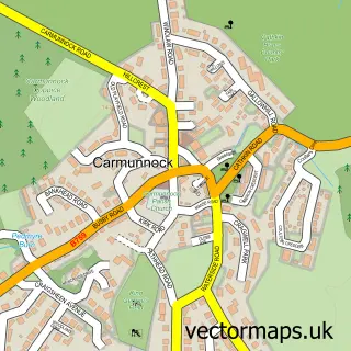
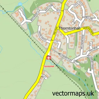
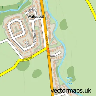
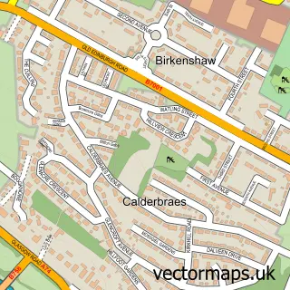
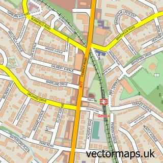
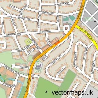
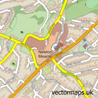
Nearby street map samples around Clarkston

More street maps in Renfrewshire
750 metre map area coverage
Boundary, postcode and point of interest information for the 750m x 750m rectangle centred on this sample map.
Boundaries containing map centre
Constituency: East Renfrewshire Co Const
District: East Renfrewshire
Icb: Greater Glasgow and Clyde
Postcode District: G76
Postcode Sector: G76 7
Ward: Clarkston, Netherlee and Williamwood Ward
Nearby boundaries intersecting sample
Postcode District: G44
Postcode Sector: G44 3, G76 8
Postcode coverage
POI category counts
Beauty Salon: 5
Coffee Shop: 5
Dentist: 4
Doctor: 4
Flowers And Gifts Shop: 4
Restaurant: 4
Apartments: 3
Charity Organization: 3
Counseling And Mental Health: 3
Fast Food Restaurant: 3
Sample points of interest
- O'Haras Accountants
- TaxAssist Accountants
- Louise Harley Public Relations
- Countrywide North
- Countrywide North Sales And Letting Agents Clarkston
- Slater Hogg & Howison
- The Gallery
- Gillchesnuttglass
- Jasmin Chinese Restaurant
- Gate Healthcare
- Scotmid - Clarkston 0340, Clarkston
- Autokits
Create a larger editable map of Clarkston
This sample shows only a 750 metre area. To create a larger map of Clarkston, use our map builder to choose your own coverage area, add titles and download editable SVG, PDF and PNG files.
Create a custom map of Clarkston