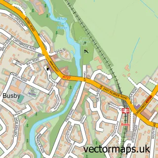
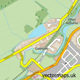
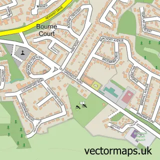
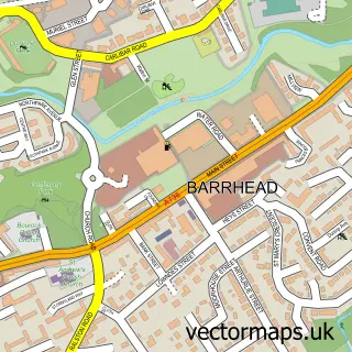
This Thornliebank street map is a detailed vector street map covering a 750m x 750m area. Select a larger area to create and download your own vector street map of Thornliebank.
The 750-metre map sample for Thornliebank covers 407 mapped buildings and approximately 20.3 km of road detail, of which 37 named roads are named. The immediate area includes 2 GP surgeries, with 16 within 2 miles, 1 pub and 2 MOT stations, with 24 within 2 miles. The wider area around Thornliebank features 4 food and drink venues. To create a larger or custom map of Thornliebank, the map builder lets you define your own coverage area and download editable SVG, PDF and PNG files.
Create a larger editable map of Thornliebank
Choose any area you need and generate a high-quality vector map instantly. Perfect for print, planning, design, business and personal use.

This Thornliebank street map in Renfrewshire is available as downloadable SVG, PDF and PNG map files, or as a printed map for planning, business, display, education, local information and design work. You can also create a larger custom map area using the map selector.
What this Thornliebank map sample shows
Thornliebank lies within East Renfrewshire parish, part of Giffnock And Thornliebank ward in the East Renfrewshire local authority area. The postcode geography for this area includes the G postcode area, the G46 postcode district and the G46 7 postcode sector. Residents fall under the Greater Glasgow And Clyde for NHS services.
Local features near Thornliebank
Within 2 milesAmenities and services in and around Thornliebank.
Administrative and postcode information for Thornliebank
Thornliebank lies within East Renfrewshire parish, part of Giffnock And Thornliebank ward in the East Renfrewshire local authority area. The postcode geography for this area includes the G postcode area, the G46 postcode district and the G46 7 postcode sector. Residents fall under the Greater Glasgow And Clyde for NHS services.
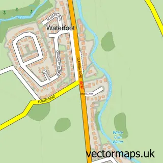
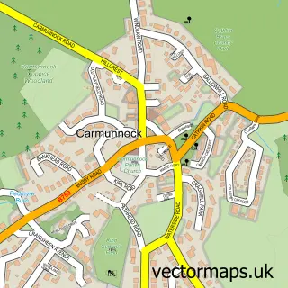
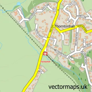
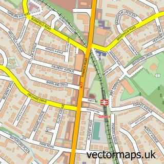
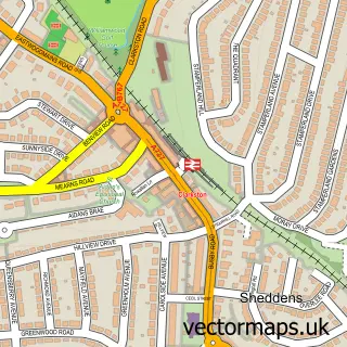
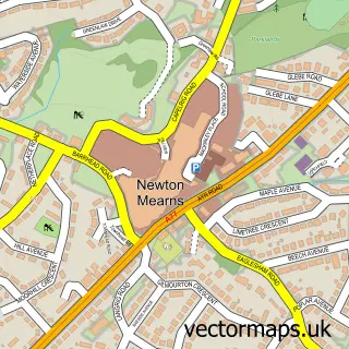
Nearby street map samples around Thornliebank

More street maps in Renfrewshire
750 metre map area coverage
Boundary, postcode and point of interest information for the 750m x 750m rectangle centred on this sample map.
Boundaries containing map centre
Constituency: East Renfrewshire Co Const
District: East Renfrewshire
Icb: Greater Glasgow and Clyde
Postcode District: G46
Postcode Sector: G46 7
Ward: Giffnock and Thornliebank Ward
Nearby boundaries intersecting sample
Constituency: Glasgow South Burgh Const
District: Glasgow City
Postcode Sector: G46 8
Ward: Newlands/Auldburn Ward
Postcode coverage
POI category counts
Event Planning: 5
Contractor: 4
Doctor: 4
Fast Food Restaurant: 4
Hair Salon: 4
Building Supply Store: 3
Dentist: 3
Funeral Services And Cemeteries: 3
Furniture Manufacturers: 3
Professional Services: 3
Sample points of interest
- DA Accountants
- Creative Promotions
- PayPoint
- USave (Swap)
- First Choice Finance Scotland
- Osdin Textiles Trading
- Summerlea Garage
- Greggs
- TSB Bank
- Kiloran Hall
- Emre
- Capelli Hairdressing
Create a larger editable map of Thornliebank
This sample shows only a 750 metre area. To create a larger map of Thornliebank, use our map builder to choose your own coverage area, add titles and download editable SVG, PDF and PNG files.
Create a custom map of Thornliebank