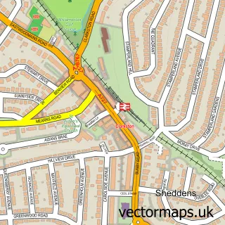
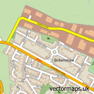
This Carmunnock street map is a detailed vector street map covering a 750m x 750m area. Select a larger area to create and download your own vector street map of Carmunnock.
The 750-metre map sample for Carmunnock covers 313 mapped buildings and approximately 15.0 km of road detail, of which 29 named roads are named. The immediate area includes 12 GP surgeries within 2 miles and 9 MOT stations within 2 miles. The wider area around Carmunnock features 3 tourism points of interest and 2 food and drink venues. To create a larger or custom map of Carmunnock, the map builder lets you define your own coverage area and download editable SVG, PDF and PNG files.
Create a larger editable map of Carmunnock
Choose any area you need and generate a high-quality vector map instantly. Perfect for print, planning, design, business and personal use.

This Carmunnock street map in City of Glasgow is available as downloadable SVG, PDF and PNG map files, or as a printed map for planning, business, display, education, local information and design work. You can also create a larger custom map area using the map selector.
What this Carmunnock map sample shows
Carmunnock lies within Glasgow City parish, part of Linn ward in the Glasgow City local authority area. The postcode geography for this area includes the G postcode area, the G76 postcode district and the G76 9 postcode sector. Residents fall under the Greater Glasgow And Clyde for NHS services.
Local features near Carmunnock
Within 2 milesAmenities and services in and around Carmunnock.
Administrative and postcode information for Carmunnock
Carmunnock lies within Glasgow City parish, part of Linn ward in the Glasgow City local authority area. The postcode geography for this area includes the G postcode area, the G76 postcode district and the G76 9 postcode sector. Residents fall under the Greater Glasgow And Clyde for NHS services.
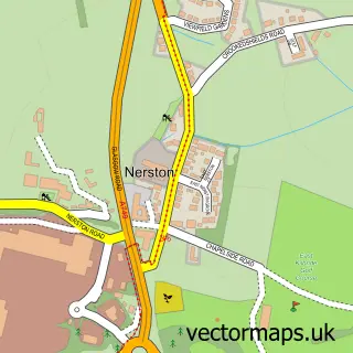
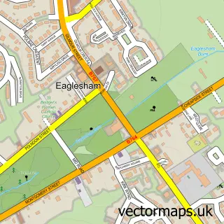
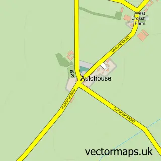
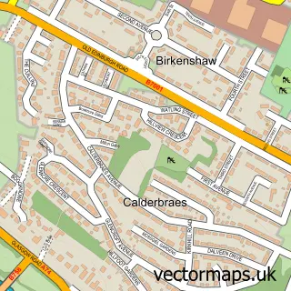
Nearby street map samples around Carmunnock

More street maps in City of Glasgow
750 metre map area coverage
Boundary, postcode and point of interest information for the 750m x 750m rectangle centred on this sample map.
Boundaries containing map centre
Constituency: Glasgow South Burgh Const
District: Glasgow City
Icb: Greater Glasgow and Clyde
Postcode District: G76
Postcode Sector: G76 9
Ward: Linn Ward
Nearby boundaries intersecting sample
Postcode District: G45
Postcode Sector: G45 0, G45 9
Postcode coverage
POI category counts
Park: 2
Assisted Living Facility: 1
Beauty And Spa: 1
Cafe: 1
Catholic Church: 1
Church Cathedral: 1
Community Services Non Profits: 1
Convenience Store: 1
E Cigarette Store: 1
Holiday Rental Home: 1
Sample points of interest
- Trust Housing Association
- The Beauty Club Clarkston
- No.15
- Glasgow Carmunnock
- Carmunnock Parish Church
- Carmunnock Village Gala
- Booth's General Store
- VPZ | Vape Shop
- Lomond & Trossachs Cottages
- Performance Tyres
- Trust Housing Association - Waterside Road, Carmunnock
- Carmunnock
Create a larger editable map of Carmunnock
This sample shows only a 750 metre area. To create a larger map of Carmunnock, use our map builder to choose your own coverage area, add titles and download editable SVG, PDF and PNG files.
Create a custom map of Carmunnock