This Chapelton street map is a detailed vector street map covering a 750m x 750m area. Select a larger area to create and download your own vector street map of Chapelton.
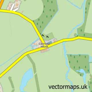
The 750-metre map sample for Chapelton covers 201 mapped buildings and approximately 11.9 km of road detail, of which 20 named roads are named. The immediate area includes 1 pub and 1 MOT station within 2 miles. The wider area around Chapelton features 1 tourism point of interest and 1 food and drink venue. To create a larger or custom map of Chapelton, the map builder lets you define your own coverage area and download editable SVG, PDF and PNG files.
Create a larger editable map of Chapelton
Choose any area you need and generate a high-quality vector map instantly. Perfect for print, planning, design, business and personal use.

This Chapelton street map in Lanarkshire is available as downloadable SVG, PDF and PNG map files, or as a printed map for planning, business, display, education, local information and design work. You can also create a larger custom map area using the map selector.
What this Chapelton map sample shows
Chapelton lies within South Lanarkshire parish, part of Avondale And Stonehouse ward in the South Lanarkshire local authority area. The postcode geography for this area includes the ML postcode area, the ML10 postcode district and the ML10 6 postcode sector. Residents fall under the Lanarkshire for NHS services.
Local features near Chapelton
Within 2 milesAmenities and services in and around Chapelton.
Administrative and postcode information for Chapelton
Chapelton lies within South Lanarkshire parish, part of Avondale And Stonehouse ward in the South Lanarkshire local authority area. The postcode geography for this area includes the ML postcode area, the ML10 postcode district and the ML10 6 postcode sector. Residents fall under the Lanarkshire for NHS services.
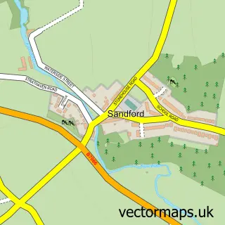
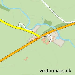
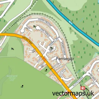
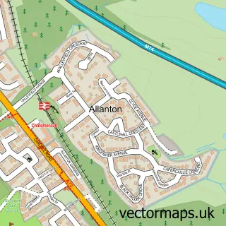
Nearby street map samples around Chapelton

More street maps in Lanarkshire
750 metre map area coverage
Boundary, postcode and point of interest information for the 750m x 750m rectangle centred on this sample map.
Boundaries containing map centre
Constituency: East Kilbride and Strathaven Co Const
District: South Lanarkshire
Icb: Lanarkshire
Postcode District: ML10
Postcode Sector: ML10 6
Ward: Avondale and Stonehouse Ward
Nearby boundaries intersecting sample
No additional intersecting boundaries found.
Postcode coverage
POI category counts
Beauty And Spa: 2
Agricultural Service: 1
Arts And Entertainment: 1
Beauty Salon: 1
Carpenter: 1
Church Cathedral: 1
Convenience Store: 1
Courier And Delivery Services: 1
Elementary School: 1
Graphic Designer: 1
Sample points of interest
- Alpha Variflo Flail mowers
- Chapelton Community Hall
- A.M Beauty Studio
- Edge - Salon Solutions
- Peachfur Beauty Lounge
- AC MacNee Joinery And Building
- Chapelton - Strathaven Trinity Church
- Chapelton Shop Local
- Evri ParcelShop
- Chapelton Primary School
- Blue Monkey Design
- Here for You Cleaning
Create a larger editable map of Chapelton
This sample shows only a 750 metre area. To create a larger map of Chapelton, use our map builder to choose your own coverage area, add titles and download editable SVG, PDF and PNG files.
Create a custom map of Chapelton