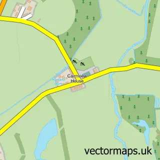
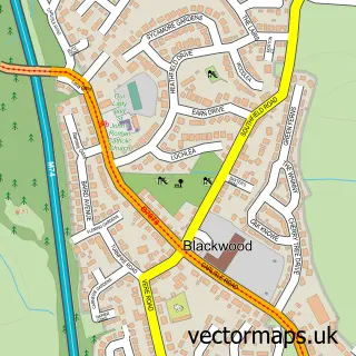
This Strathaven street map is a detailed vector street map covering a 750m x 750m area. Select a larger area to create and download your own vector street map of Strathaven.
The 750-metre map sample for Strathaven covers 359 mapped buildings and approximately 19.4 km of road detail, of which 45 named roads are named. The immediate area includes 2 GP surgeries, 6 pubs and 1 MOT station, with 2 within 2 miles. The wider area around Strathaven features 4 tourism points of interest, 20 food and drink venues and 1 hotel. To create a larger or custom map of Strathaven, the map builder lets you define your own coverage area and download editable SVG, PDF and PNG files.
Create a larger editable map of Strathaven
Choose any area you need and generate a high-quality vector map instantly. Perfect for print, planning, design, business and personal use.

This Strathaven street map in Lanarkshire is available as downloadable SVG, PDF and PNG map files, or as a printed map for planning, business, display, education, local information and design work. You can also create a larger custom map area using the map selector.
What this Strathaven map sample shows
Strathaven lies within South Lanarkshire parish, part of Avondale And Stonehouse ward in the South Lanarkshire local authority area. The postcode geography for this area includes the ML postcode area, the ML10 postcode district and the ML10 6 postcode sector. Residents fall under the Lanarkshire for NHS services.
Local features near Strathaven
Within 2 milesAmenities and services in and around Strathaven.
Administrative and postcode information for Strathaven
Strathaven lies within South Lanarkshire parish, part of Avondale And Stonehouse ward in the South Lanarkshire local authority area. The postcode geography for this area includes the ML postcode area, the ML10 postcode district and the ML10 6 postcode sector. Residents fall under the Lanarkshire for NHS services.
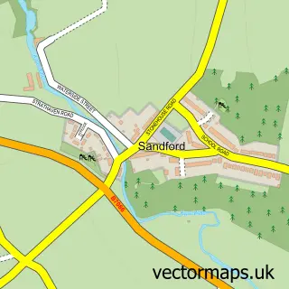
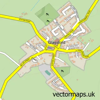
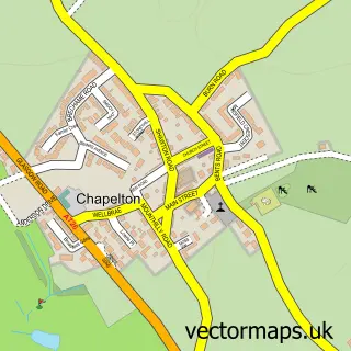
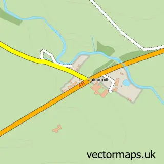
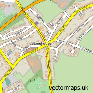
Nearby street map samples around Strathaven

More street maps in Lanarkshire
750 metre map area coverage
Boundary, postcode and point of interest information for the 750m x 750m rectangle centred on this sample map.
Boundaries containing map centre
Constituency: East Kilbride and Strathaven Co Const
District: South Lanarkshire
Icb: Lanarkshire
Postcode District: ML10
Postcode Sector: ML10 6
Ward: Avondale and Stonehouse Ward
Nearby boundaries intersecting sample
No additional intersecting boundaries found.
Postcode coverage
POI category counts
Beauty Salon: 12
Cafe: 8
Flowers And Gifts Shop: 6
Pub: 6
Chinese Restaurant: 5
Church Cathedral: 5
Grocery Store: 5
Hair Salon: 5
Beauty And Spa: 4
Dentist: 4
Sample points of interest
- Wee Townhead Farm, Strathaven
- Assure Accountancy
- Colin Dempster Chartered Accountants
- Wheredragonsfly Therapies
- Waterside Wool
- Hoo Wah
- Abbeyfield House
- R. C. Sandilands Electrical Services
- Deep Blue
- McEwen Motors
- Waterside Car Services
- Alexander Taylor
Create a larger editable map of Strathaven
This sample shows only a 750 metre area. To create a larger map of Strathaven, use our map builder to choose your own coverage area, add titles and download editable SVG, PDF and PNG files.
Create a custom map of Strathaven