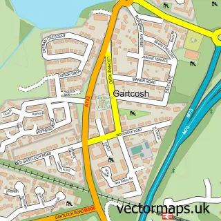
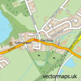
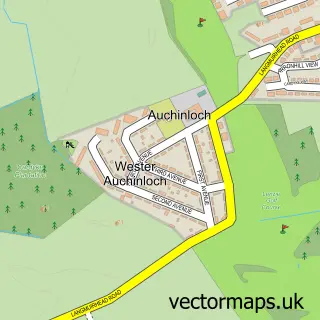
This Mount Ellen street map is a detailed vector street map covering a 750m x 750m area. Select a larger area to create and download your own vector street map of Mount Ellen.
The 750-metre map sample for Mount Ellen covers 165 mapped buildings and approximately 8.4 km of road detail, of which 13 named roads are named. The immediate area includes 2 GP surgeries within 2 miles and 5 MOT stations within 2 miles. The wider area around Mount Ellen features 1 tourism point of interest. To create a larger or custom map of Mount Ellen, the map builder lets you define your own coverage area and download editable SVG, PDF and PNG files.
Create a larger editable map of Mount Ellen
Choose any area you need and generate a high-quality vector map instantly. Perfect for print, planning, design, business and personal use.

This Mount Ellen street map in Lanarkshire is available as downloadable SVG, PDF and PNG map files, or as a printed map for planning, business, display, education, local information and design work. You can also create a larger custom map area using the map selector.
What this Mount Ellen map sample shows
Mount Ellen lies within North Lanarkshire parish, part of Gartcosh, Glenboig And Moodiesburn ward in the North Lanarkshire local authority area. The postcode geography for this area includes the G postcode area, the G69 postcode district and the G69 8 postcode sector. Residents fall under the Lanarkshire for NHS services.
Local features near Mount Ellen
Within 2 milesAmenities and services in and around Mount Ellen.
Administrative and postcode information for Mount Ellen
Mount Ellen lies within North Lanarkshire parish, part of Gartcosh, Glenboig And Moodiesburn ward in the North Lanarkshire local authority area. The postcode geography for this area includes the G postcode area, the G69 postcode district and the G69 8 postcode sector. Residents fall under the Lanarkshire for NHS services.
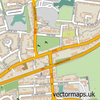
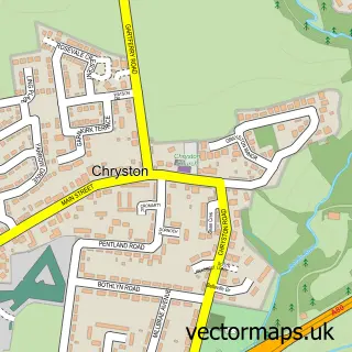
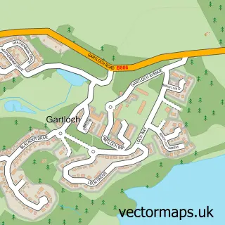
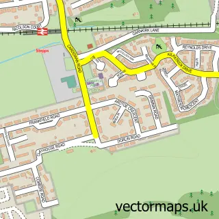
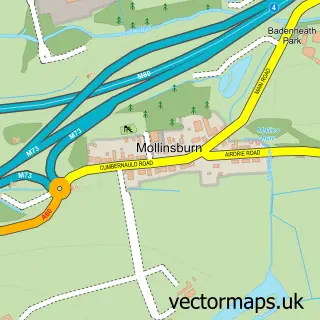
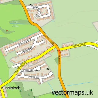
Nearby street map samples around Mount Ellen

More street maps in Lanarkshire
750 metre map area coverage
Boundary, postcode and point of interest information for the 750m x 750m rectangle centred on this sample map.
Boundaries containing map centre
Constituency: Cumbernauld and Kirkintilloch Co Const
District: North Lanarkshire
Icb: Lanarkshire
Postcode District: G69
Postcode Sector: G69 8
Ward: Stepps, Chryston and Muirhead Ward
Nearby boundaries intersecting sample
Constituency: Coatbridge and Bellshill Burgh Const
Postcode Sector: G69 9
Ward: Gartcosh, Glenboig and Moodiesburn Ward
Postcode coverage
POI category counts
Convenience Store: 2
Accountant: 1
Auto Detailing: 1
Automotive Repair: 1
Carpenter: 1
Martial Arts Club: 1
Nursery And Gardening: 1
Park: 1
Professional Services: 1
Social Club: 1
Sample points of interest
- McKellar Accounting Services
- Village Hand Car Wash
- Auto Shine Express
- D M Joinery
- Mount Ellen Store
- Premier Mountellen Convenience Store
- Lochend School of Cho's TKD
- Lochend
- Mountellen
- Dave Cameron Photography
- Gartcosh Works Social Club
- Tea House on the Loch
Create a larger editable map of Mount Ellen
This sample shows only a 750 metre area. To create a larger map of Mount Ellen, use our map builder to choose your own coverage area, add titles and download editable SVG, PDF and PNG files.
Create a custom map of Mount Ellen