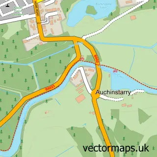
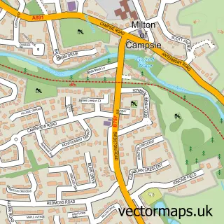
This Kilsyth street map is a detailed vector street map covering a 750m x 750m area. Select a larger area to create and download your own vector street map of Kilsyth.
The 750-metre map sample for Kilsyth covers 377 mapped buildings and approximately 24.1 km of road detail, of which 63 named roads are named. The immediate area includes 1 GP surgery, 1 pub and 2 MOT stations, with 4 within 2 miles. The wider area around Kilsyth features 3 tourism points of interest, 7 food and drink venues and 1 campsite within 2 miles. To create a larger or custom map of Kilsyth, the map builder lets you define your own coverage area and download editable SVG, PDF and PNG files.
Create a larger editable map of Kilsyth
Choose any area you need and generate a high-quality vector map instantly. Perfect for print, planning, design, business and personal use.

This Kilsyth street map in Dunbartonshire is available as downloadable SVG, PDF and PNG map files, or as a printed map for planning, business, display, education, local information and design work. You can also create a larger custom map area using the map selector.
What this Kilsyth map sample shows
Kilsyth lies within North Lanarkshire parish, part of Kilsyth ward in the North Lanarkshire local authority area. The postcode geography for this area includes the G postcode area, the G65 postcode district and the G65 0 postcode sector. Residents fall under the Lanarkshire for NHS services.
Local features near Kilsyth
Within 2 milesAmenities and services in and around Kilsyth.
Administrative and postcode information for Kilsyth
Kilsyth lies within North Lanarkshire parish, part of Kilsyth ward in the North Lanarkshire local authority area. The postcode geography for this area includes the G postcode area, the G65 postcode district and the G65 0 postcode sector. Residents fall under the Lanarkshire for NHS services.
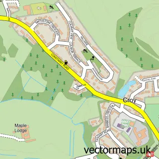
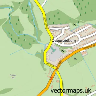
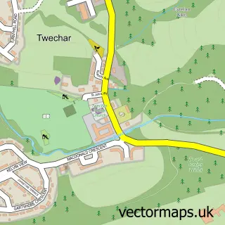
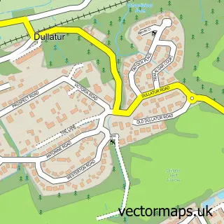
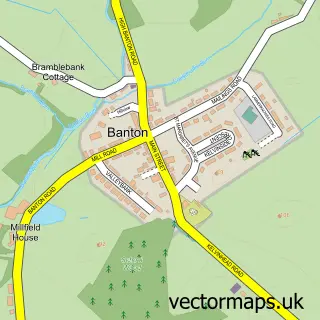
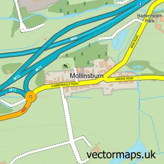
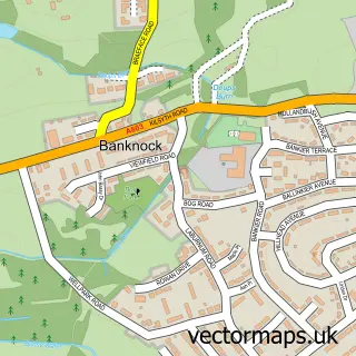
Nearby street map samples around Kilsyth

More street maps in Dunbartonshire
750 metre map area coverage
Boundary, postcode and point of interest information for the 750m x 750m rectangle centred on this sample map.
Boundaries containing map centre
Constituency: Cumbernauld and Kirkintilloch Co Const
District: North Lanarkshire
Icb: Lanarkshire
Postcode District: G65
Postcode Sector: G65 0
Ward: Kilsyth Ward
Nearby boundaries intersecting sample
Postcode Sector: G65 9
Postcode coverage
POI category counts
Beauty Salon: 8
Beauty And Spa: 6
Church Cathedral: 6
Pharmacy: 6
Bakery: 5
Barber: 5
Funeral Services And Cemeteries: 5
Bar: 4
Building Supply Store: 4
Community Services Non Profits: 4
Sample points of interest
- Curle and Co
- Gerry Boxfit
- Sandra Borland
- Belle Unique Ltd
- Dhillon's
- Deacons Supermarket, Kilsyth
- The Cooperative Food Kilsyth (ERF), Glasgow
- TK Murray Heating & Electrical
- Brian Leeson Coachworks
- Millar Motors
- Millar Motors Ltd
- ALB Mot and Service Centre
Create a larger editable map of Kilsyth
This sample shows only a 750 metre area. To create a larger map of Kilsyth, use our map builder to choose your own coverage area, add titles and download editable SVG, PDF and PNG files.
Create a custom map of Kilsyth