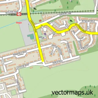
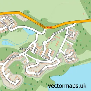
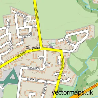
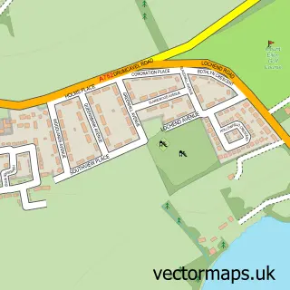
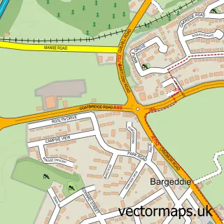
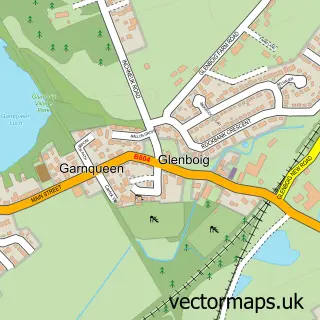
This Stepps street map is a detailed vector street map covering a 750m x 750m area. Select a larger area to create and download your own vector street map of Stepps.
The 750-metre map sample for Stepps covers 313 mapped buildings and approximately 13.1 km of road detail, of which 24 named roads are named. The immediate area includes 1 railway station, 2 GP surgeries, with 7 within 2 miles and 8 MOT stations within 2 miles. The wider area around Stepps features 1 tourism point of interest. To create a larger or custom map of Stepps, the map builder lets you define your own coverage area and download editable SVG, PDF and PNG files.
Create a larger editable map of Stepps
Choose any area you need and generate a high-quality vector map instantly. Perfect for print, planning, design, business and personal use.

This Stepps street map in Lanarkshire is available as downloadable SVG, PDF and PNG map files, or as a printed map for planning, business, display, education, local information and design work. You can also create a larger custom map area using the map selector.
What this Stepps map sample shows
Stepps lies within North Lanarkshire parish, part of Stepps, Chryston And Muirhead ward in the North Lanarkshire local authority area. The postcode geography for this area includes the G postcode area, the G33 postcode district and the G33 6 postcode sector. Residents fall under the Lanarkshire for NHS services.
Local features near Stepps
Within 2 milesAmenities and services in and around Stepps.
Administrative and postcode information for Stepps
The local authority covering Stepps is North Lanarkshire, within the county of Lanarkshire. The settlement lies within Stepps, Chryston And Muirhead ward and North Lanarkshire civil parish. The G33 postcode district and G33 6 postcode sector serve the immediate area. NHS provision in the area is delivered through Lanarkshire.
Nearby street map samples around Stepps

More street maps in Lanarkshire
750 metre map area coverage
Boundary, postcode and point of interest information for the 750m x 750m rectangle centred on this sample map.
Boundaries containing map centre
Constituency: Cumbernauld and Kirkintilloch Co Const
District: North Lanarkshire
Icb: Lanarkshire
Postcode District: G33
Postcode Sector: G33 6
Ward: Stepps, Chryston and Muirhead Ward
Nearby boundaries intersecting sample
No additional intersecting boundaries found.
Postcode coverage
POI category counts
Beauty Salon: 5
Doctor: 4
Elementary School: 2
Gardener: 2
Hair Salon: 2
Library: 2
Pet Groomer: 2
Train Station: 2
Atms: 1
Auto Loan Provider: 1
Sample points of interest
- PayPoint
- Home 2 Home Mortgages
- Butties Bakes and Flakes
- Buchanan Gate Brewers Fayre
- Belle's Beauty Salon
- Karma Hair & Beauty
- Sakura Beauty
- Stepps Beauty & Aesthetics Clinic
- The Iron Lady
- Avenue End Bed & Breakfast
- Auchengeich Boxing Club
- Andrew Reid Butchers
Create a larger editable map of Stepps
This sample shows only a 750 metre area. To create a larger map of Stepps, use our map builder to choose your own coverage area, add titles and download editable SVG, PDF and PNG files.
Create a custom map of Stepps