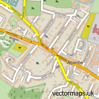
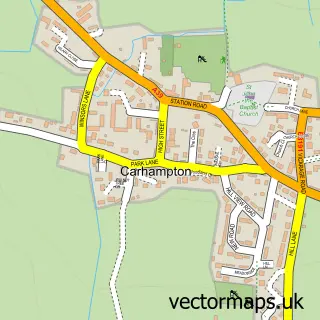
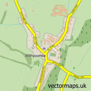
This Minehead street map is a detailed vector street map covering a 750m x 750m area. Select a larger area to create and download your own vector street map of Minehead.
The 750-metre map sample for Minehead covers 470 mapped buildings and approximately 23.6 km of road detail, of which 60 named roads are named. The immediate area includes 3 schools, 1 GP surgery, 4 pubs and 2 MOT stations, with 8 within 2 miles. The wider area around Minehead features 3 tourism points of interest, 19 food and drink venues and 6 hotels. To create a larger or custom map of Minehead, the map builder lets you define your own coverage area and download editable SVG, PDF and PNG files.
Create a larger editable map of Minehead
Choose any area you need and generate a high-quality vector map instantly. Perfect for print, planning, design, business and personal use.

This Minehead street map in Somerset is available as downloadable SVG, PDF and PNG map files, or as a printed map for planning, business, display, education, local information and design work. You can also create a larger custom map area using the map selector.
What this Minehead map sample shows
Minehead lies within Minehead Cp parish, part of Minehead North ward in the Somerset local authority area. Residents fall under the Nhs Somerset Integrated Care Board for NHS services.
Local features near Minehead
Within 2 milesAmenities and services in and around Minehead.
Administrative and postcode information for Minehead
The local authority covering Minehead is Somerset, within the county of Somerset. The settlement lies within Minehead North ward and Minehead Cp civil parish. NHS services are coordinated through the Nhs Somerset Integrated Care Board.
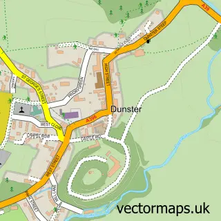
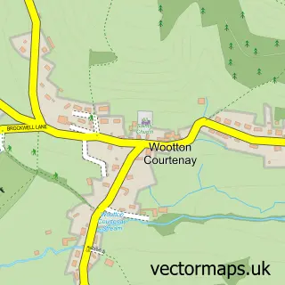
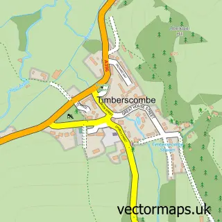
Nearby street map samples around Minehead

More street maps in Somerset
750 metre map area coverage
Boundary, postcode and point of interest information for the 750m x 750m rectangle centred on this sample map.
Boundaries containing map centre
Constituency: Tiverton and Minehead Co Const
District: Somerset
Icb: NHS Somerset ICB
Parish: Minehead CP
Police Force: avon and somerset
Postcode District: TA24
Postcode Sector: TA24 5
Nearby boundaries intersecting sample
Postcode Sector: TA24 8
Postcode coverage
POI category counts
Beauty Salon: 10
Clothing Store: 9
Professional Services: 8
Real Estate Agent: 8
Cafe: 7
Flowers And Gifts Shop: 7
Hotel: 6
Barber: 5
Charity Organization: 5
Coffee Shop: 5
Sample points of interest
- Treborough Cross Country Course
- Irnham Lodge Complementary Health Centre
- Osteopathic Practice
- St Andrew
- Pitleigh Kennels
- Antiques Etc
- Paraphernalia
- St Margarets Somerset Hospice
- Take Me Home Vintage
- Architectural Studio
- Courtyard Gallery and Framing
- Leo Davey Studio
Create a larger editable map of Minehead
This sample shows only a 750 metre area. To create a larger map of Minehead, use our map builder to choose your own coverage area, add titles and download editable SVG, PDF and PNG files.
Create a custom map of Minehead