This Allerford street map is a detailed vector street map covering a 750m x 750m area. Select a larger area to create and download your own vector street map of Allerford.
The 750-metre map sample for Allerford covers 70 mapped buildings and approximately 9.6 km of road detail, of which 1 named road are named. The immediate area includes 1 MOT station within 2 miles. The wider area around Allerford features 2 tourism points of interest, 1 hotel and 4 campsites within 2 miles. To create a larger or custom map of Allerford, the map builder lets you define your own coverage area and download editable SVG, PDF and PNG files.
Create a larger editable map of Allerford
Choose any area you need and generate a high-quality vector map instantly. Perfect for print, planning, design, business and personal use.

This Allerford street map in Somerset is available as downloadable SVG, PDF and PNG map files, or as a printed map for planning, business, display, education, local information and design work. You can also create a larger custom map area using the map selector.
What this Allerford map sample shows
Allerford lies within Selworthy Cp parish, part of Porlock & District ward in the Somerset local authority area. The postcode geography for this area includes the TA postcode area, the TA24 postcode district and the TA24 8 postcode sector. Residents fall under the Nhs Somerset Integrated Care Board for NHS services.
Local features near Allerford
Within 2 milesAmenities and services in and around Allerford.
Administrative and postcode information for Allerford
The local authority covering Allerford is Somerset, within the county of Somerset. The settlement lies within Porlock & District ward and Selworthy Cp civil parish. The TA24 postcode district and TA24 8 postcode sector serve the immediate area. NHS provision in the area is delivered through Somerset Nhs Foundation Trust.
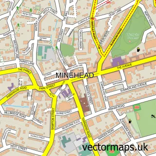
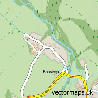
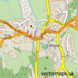
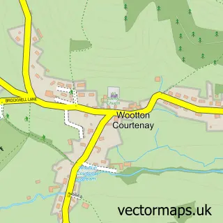
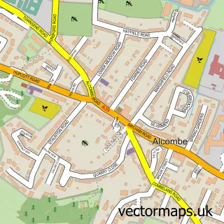
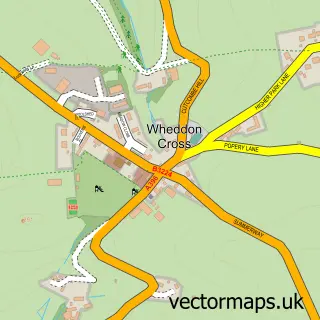
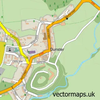
Nearby street map samples around Allerford


More street maps in Somerset
750 metre map area coverage
Boundary, postcode and point of interest information for the 750m x 750m rectangle centred on this sample map.
Boundaries containing map centre
Constituency: Tiverton and Minehead Co Const
District: Somerset
Icb: NHS Somerset ICB
Parish: Selworthy CP
Police Force: avon and somerset
Postcode District: TA24
Postcode Sector: TA24 8
Nearby boundaries intersecting sample
No additional intersecting boundaries found.
Postcode coverage
POI category counts
Convenience Store: 2
Accommodation: 1
Bar: 1
Cabin: 1
Community Center: 1
Contractor: 1
Gardener: 1
Hotel: 1
Livestock Breeder: 1
Metal Fabricator: 1
Sample points of interest
- Allerford Village
- Allerford Reading Room Club
- Orchard Escapes Exmoor
- Allerford & Selworthy Comunity Hall
- Chris Horne Building
- Allerford Post Office
- Post Office
- GB House and Garden Maintenance
- The Pack Horse
- Exmoor Bees and Beehives
- West Country Blacksmiths
- West Somerset Rural Life Museum and Victorian School
Create a larger editable map of Allerford
This sample shows only a 750 metre area. To create a larger map of Allerford, use our map builder to choose your own coverage area, add titles and download editable SVG, PDF and PNG files.
Create a custom map of Allerford