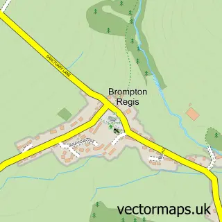
This Wheddon Cross street map is a detailed vector street map covering a 750m x 750m area. Select a larger area to create and download your own vector street map of Wheddon Cross.
The 750-metre map sample for Wheddon Cross covers 96 mapped buildings and approximately 13.4 km of road detail, of which 8 named roads are named. The immediate area includes 1 school. The wider area around Wheddon Cross features 1 tourism point of interest and 1 food and drink venue. To create a larger or custom map of Wheddon Cross, the map builder lets you define your own coverage area and download editable SVG, PDF and PNG files.
Create a larger editable map of Wheddon Cross
Choose any area you need and generate a high-quality vector map instantly. Perfect for print, planning, design, business and personal use.

This Wheddon Cross street map in Somerset is available as downloadable SVG, PDF and PNG map files, or as a printed map for planning, business, display, education, local information and design work. You can also create a larger custom map area using the map selector.
What this Wheddon Cross map sample shows
Wheddon Cross lies within Cutcombe Cp parish, part of Exmoor ward in the Somerset local authority area. The postcode geography for this area includes the TA postcode area, the TA24 postcode district and the TA24 7 postcode sector. Residents fall under the Nhs Somerset Integrated Care Board for NHS services.
Local features near Wheddon Cross
Within 2 milesAmenities and services in and around Wheddon Cross.
Administrative and postcode information for Wheddon Cross
The local authority covering Wheddon Cross is Somerset, within the county of Somerset. The settlement lies within Exmoor ward and Cutcombe Cp civil parish. The TA24 postcode district and TA24 7 postcode sector serve the immediate area. NHS provision in the area is delivered through Somerset Nhs Foundation Trust.
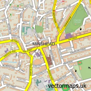
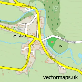
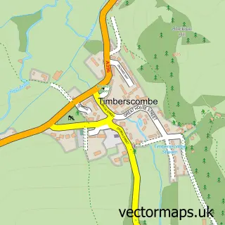
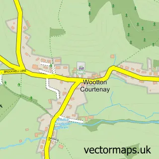
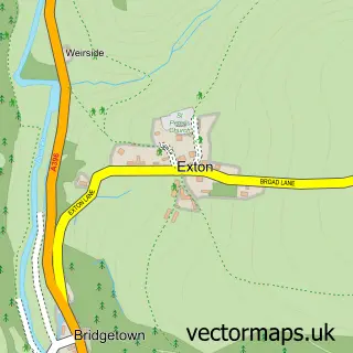
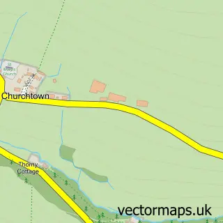
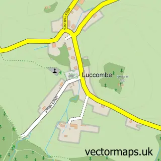
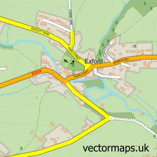
Nearby street map samples around Wheddon Cross

More street maps in Somerset
750 metre map area coverage
Boundary, postcode and point of interest information for the 750m x 750m rectangle centred on this sample map.
Boundaries containing map centre
Constituency: Tiverton and Minehead Co Const
District: Somerset
Icb: NHS Somerset ICB
Parish: Cutcombe CP
Police Force: avon and somerset
Postcode District: TA24
Postcode Sector: TA24 7
Nearby boundaries intersecting sample
No additional intersecting boundaries found.
Postcode coverage
POI category counts
Bed And Breakfast: 4
Post Office: 3
Convenience Store: 2
Agricultural Service: 1
Auction House: 1
Automotive Repair: 1
Building Supply Store: 1
Cafe: 1
Car Dealer: 1
Church Cathedral: 1
Sample points of interest
- Exmoor Hill Farm Project
- Exmoor Farmers Livestock Auctions
- MS Racing
- Exmoor Farm Cottages
- Exmoor House Wheddon Cross
- Sundial House
- The Rest and Be Thankful Inn
- Ebb N Flo
- Cutcombe market cafe
- Ark ATVs
- Church of St Petrock, Timberscombe
- The Moorland Hall and Recreation Ground
Create a larger editable map of Wheddon Cross
This sample shows only a 750 metre area. To create a larger map of Wheddon Cross, use our map builder to choose your own coverage area, add titles and download editable SVG, PDF and PNG files.
Create a custom map of Wheddon Cross