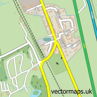
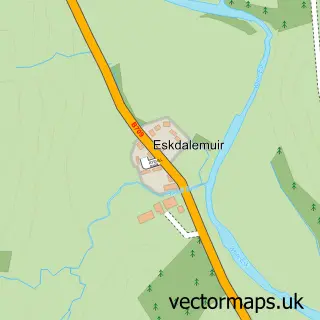
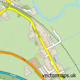
This Moffat street map is a detailed vector street map covering a 750m x 750m area. Select a larger area to create and download your own vector street map of Moffat.
The 750-metre map sample for Moffat covers 304 mapped buildings and approximately 17.0 km of road detail, of which 47 named roads are named. The immediate area includes 1 GP surgery within 2 miles, 2 pubs and 1 MOT station within 2 miles. The wider area around Moffat features 6 tourism points of interest, 9 food and drink venues and 14 hotels. To create a larger or custom map of Moffat, the map builder lets you define your own coverage area and download editable SVG, PDF and PNG files.
Create a larger editable map of Moffat
Choose any area you need and generate a high-quality vector map instantly. Perfect for print, planning, design, business and personal use.

This Moffat street map in Dumfries is available as downloadable SVG, PDF and PNG map files, or as a printed map for planning, business, display, education, local information and design work. You can also create a larger custom map area using the map selector.
What this Moffat map sample shows
Moffat lies within Dumfries And Galloway parish, part of Annandale North ward in the Dumfries And Galloway local authority area. The postcode geography for this area includes the DG postcode area, the DG10 postcode district and the DG10 9 postcode sector. Residents fall under the Dumfries And Galloway for NHS services.
Local features near Moffat
Within 2 milesAmenities and services in and around Moffat.
Administrative and postcode information for Moffat
The local authority covering Moffat is Dumfries And Galloway, within the county of Dumfries. The settlement lies within Annandale North ward and Dumfries And Galloway civil parish. The DG10 postcode district and DG10 9 postcode sector serve the immediate area. NHS provision in the area is delivered through Dumfries And Galloway.
Nearby street map samples around Moffat

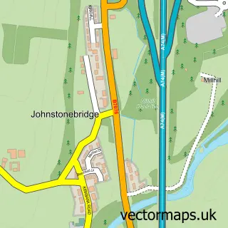
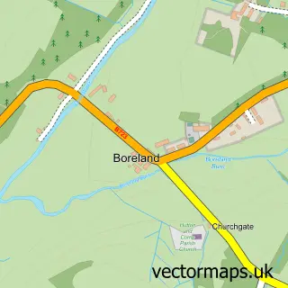
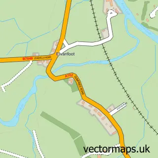
More street maps in Dumfries
750 metre map area coverage
Boundary, postcode and point of interest information for the 750m x 750m rectangle centred on this sample map.
Boundaries containing map centre
Constituency: Dumfriesshire, Clydesdale and Tweeddale Co Const
District: Dumfries and Galloway
Icb: Dumfries and Galloway
Postcode District: DG10
Postcode Sector: DG10 9
Ward: Annandale North Ward
Nearby boundaries intersecting sample
No additional intersecting boundaries found.
Postcode coverage
POI category counts
Hotel: 14
Clothing Store: 8
Bed And Breakfast: 6
Convenience Store: 6
Flowers And Gifts Shop: 5
Cafe: 4
Charity Organization: 4
Gas Station: 4
Professional Services: 4
Bakery: 3
Sample points of interest
- Ambacare
- Julia Williams
- Lothlorien antiques & collectables Emporium
- Moffat Pottery
- The Cooperative Food (BF) Moffat, Station Yard
- Kayantics
- Marchbank Moffat
- R . Little Bakers Ltd
- R Little Bakers
- Bank of Scotland
- Community Banker Moffat Town Hall Redevelopment
- Railway Bar
Create a larger editable map of Moffat
This sample shows only a 750 metre area. To create a larger map of Moffat, use our map builder to choose your own coverage area, add titles and download editable SVG, PDF and PNG files.
Create a custom map of Moffat