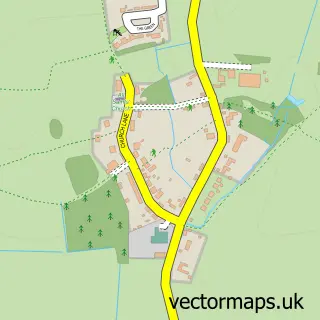
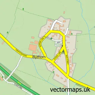
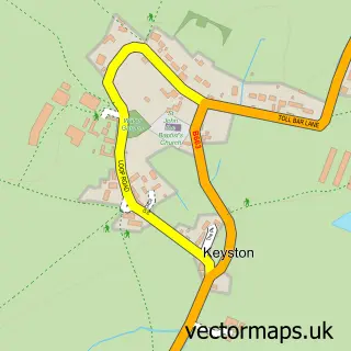
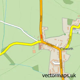
This Molesworth street map is a detailed vector street map covering a 750m x 750m area. Select a larger area to create and download your own vector street map of Molesworth.
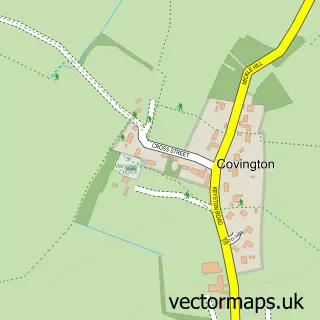
The 750-metre map sample for Molesworth covers 92 mapped buildings and approximately 5.2 km of road detail. The wider area around Molesworth features 2 tourism points of interest. To create a larger or custom map of Molesworth, the map builder lets you define your own coverage area and download editable SVG, PDF and PNG files.
Create a larger editable map of Molesworth
Choose any area you need and generate a high-quality vector map instantly. Perfect for print, planning, design, business and personal use.

This Molesworth street map in Cambridgeshire is available as downloadable SVG, PDF and PNG map files, or as a printed map for planning, business, display, education, local information and design work. You can also create a larger custom map area using the map selector.
What this Molesworth map sample shows
Molesworth lies within Brington And Molesworth Cp parish, part of Kimbolton ward in the Huntingdonshire District local authority area. The postcode geography for this area includes the PE postcode area, the PE28 postcode district and the PE28 0 postcode sector. Residents fall under the Nhs Cambridgeshire And Peterborough Integrated Care Board for NHS services.
Local features near Molesworth
Within 2 milesAmenities and services in and around Molesworth.
Administrative and postcode information for Molesworth
The local authority covering Molesworth is Huntingdonshire District, within the county of Cambridgeshire. The settlement lies within Kimbolton ward and Brington And Molesworth Cp civil parish. The PE28 postcode district and PE28 0 postcode sector serve the immediate area. NHS provision in the area is delivered through North West Anglia Nhs Foundation Trust.
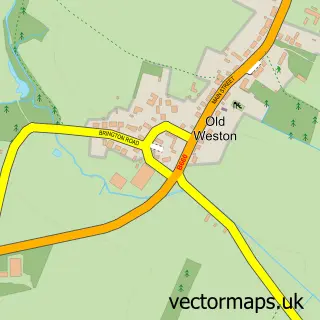
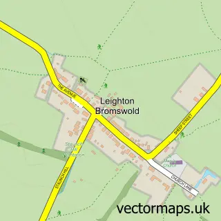
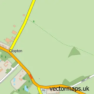
Nearby street map samples around Molesworth

More street maps in Cambridgeshire
750 metre map area coverage
Boundary, postcode and point of interest information for the 750m x 750m rectangle centred on this sample map.
Boundaries containing map centre
Constituency: Huntingdon Co Const
County: Cambridgeshire County
District: Huntingdonshire District
Icb: NHS Central East ICB
Parish: Brington and Molesworth CP
Police Force: cambridgeshire
Postcode District: PE28
Postcode Sector: PE28 0
Ward: Kimbolton Ward
Nearby boundaries intersecting sample
No additional intersecting boundaries found.
Postcode coverage
POI category counts
Automotive Repair: 2
Anglican Church: 1
Brake Service And Repair: 1
Campground: 1
Car Dealer: 1
Cleaning Products Supplier: 1
Clothing Store: 1
Freight And Cargo Service: 1
Medical Center: 1
Park: 1
Sample points of interest
- St Peter: Molesworth
- KN Autocare
- Motorcycle Republic
- K & N Autocare Ltd.
- The Cross Keys
- Pontillion Vehicle Sales
- Esco Refresh Ltd.
- Ritzy Stitches
- LRS Associates
- Invitech
- Molesworth Millennium Green
- 1st Brington
Create a larger editable map of Molesworth
This sample shows only a 750 metre area. To create a larger map of Molesworth, use our map builder to choose your own coverage area, add titles and download editable SVG, PDF and PNG files.
Create a custom map of Molesworth