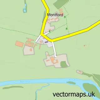
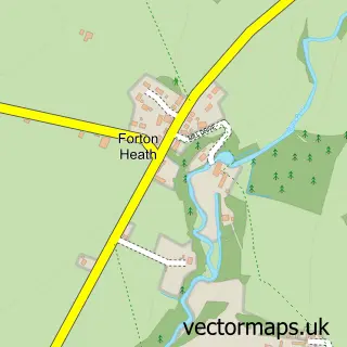
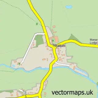
This Montford Bridge street map is a detailed vector street map covering a 750m x 750m area. Select a larger area to create and download your own vector street map of Montford Bridge.
The 750-metre map sample for Montford Bridge covers 122 mapped buildings and approximately 13.7 km of road detail, of which 8 named roads are named. The immediate area includes 2 pubs and 1 MOT station within 2 miles. The wider area around Montford Bridge features 2 food and drink venues, 1 hotel and 1 campsite within 2 miles. To create a larger or custom map of Montford Bridge, the map builder lets you define your own coverage area and download editable SVG, PDF and PNG files.
Create a larger editable map of Montford Bridge
Choose any area you need and generate a high-quality vector map instantly. Perfect for print, planning, design, business and personal use.

This Montford Bridge street map in Shropshire is available as downloadable SVG, PDF and PNG map files, or as a printed map for planning, business, display, education, local information and design work. You can also create a larger custom map area using the map selector.
What this Montford Bridge map sample shows
Montford Bridge lies within Montford Cp parish, part of Loton ward in the Shropshire local authority area. The postcode geography for this area includes the SY postcode area, the SY4 postcode district and the SY4 1 postcode sector. Residents fall under the Nhs Shropshire, Telford And Wrekin Integrated Care Board for NHS services.
Local features near Montford Bridge
Within 2 milesAmenities and services in and around Montford Bridge.
Administrative and postcode information for Montford Bridge
Montford Bridge lies within Montford Cp parish, part of Loton ward in the Shropshire local authority area. The postcode geography for this area includes the SY postcode area, the SY4 postcode district and the SY4 1 postcode sector. Residents fall under the Nhs Shropshire, Telford And Wrekin Integrated Care Board for NHS services.
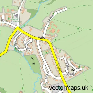
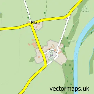
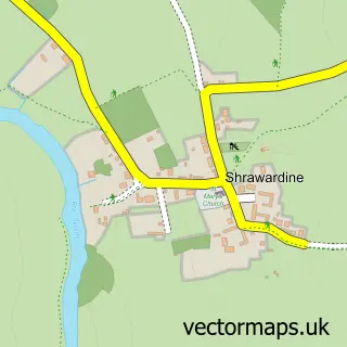
Nearby street map samples around Montford Bridge

More street maps in Shropshire
750 metre map area coverage
Boundary, postcode and point of interest information for the 750m x 750m rectangle centred on this sample map.
Boundaries containing map centre
Constituency: Shrewsbury Co Const
District: Shropshire
Icb: NHS Shropshire Telford and Wrekin ICB
Parish: Montford CP
Police Force: west mercia
Postcode District: SY4
Postcode Sector: SY4 1
Nearby boundaries intersecting sample
Parish: Bicton CP
Postcode coverage
POI category counts
Pub: 2
Beauty Salon: 1
Canoe And Kayak Hire Service: 1
Environmental Conservation Organization: 1
Hvac Services: 1
Landscape Architect: 1
Landscaping: 1
Post Office: 1
Rental Kiosks: 1
Retail: 1
Sample points of interest
- Absolute Beauty
- Hire a Canoe
- SLR Consulting
- J & S Gittins
- Dreamscapes
- Dreamscapes
- Post Office
- The Wingfield Arms
- Wingfield Arms
- Costa Express
- Broadway Joinery
- The Wingfield Caravan Park
Create a larger editable map of Montford Bridge
This sample shows only a 750 metre area. To create a larger map of Montford Bridge, use our map builder to choose your own coverage area, add titles and download editable SVG, PDF and PNG files.
Create a custom map of Montford Bridge