This Monymusk street map is a detailed vector street map covering a 750m x 750m area. Select a larger area to create and download your own vector street map of Monymusk.
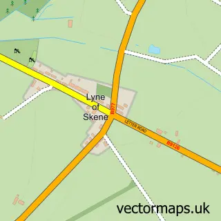
The 750-metre map sample for Monymusk covers 172 mapped buildings and approximately 18.2 km of road detail, of which 5 named roads are named. The wider area around Monymusk features 1 hotel. To create a larger or custom map of Monymusk, the map builder lets you define your own coverage area and download editable SVG, PDF and PNG files.
Create a larger editable map of Monymusk
Choose any area you need and generate a high-quality vector map instantly. Perfect for print, planning, design, business and personal use.

This Monymusk street map in Aberdeenshire is available as downloadable SVG, PDF and PNG map files, or as a printed map for planning, business, display, education, local information and design work. You can also create a larger custom map area using the map selector.
What this Monymusk map sample shows
Monymusk lies within Aberdeenshire parish, part of Huntly, Strathbogie And Howe Of Alford ward in the Aberdeenshire local authority area. The postcode geography for this area includes the AB postcode area, the AB51 postcode district and the AB51 7 postcode sector. Residents fall under the Grampian for NHS services.
Local features near Monymusk
Within 2 milesAmenities and services in and around Monymusk.
Administrative and postcode information for Monymusk
Monymusk lies within Aberdeenshire parish, part of Huntly, Strathbogie And Howe Of Alford ward in the Aberdeenshire local authority area. The postcode geography for this area includes the AB postcode area, the AB51 postcode district and the AB51 7 postcode sector. Residents fall under the Grampian for NHS services.
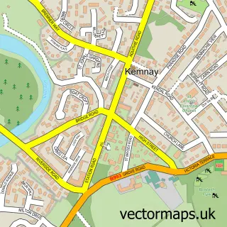
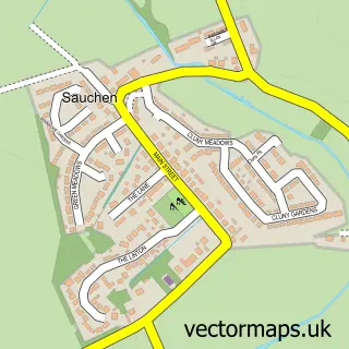
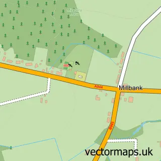
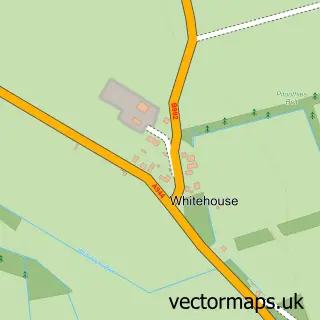
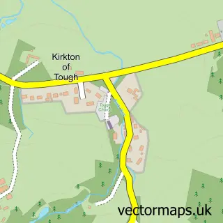
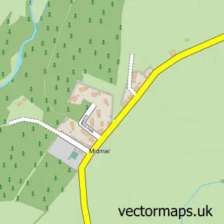
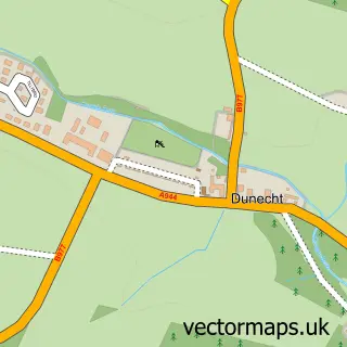
Nearby street map samples around Monymusk

More street maps in Aberdeenshire
750 metre map area coverage
Boundary, postcode and point of interest information for the 750m x 750m rectangle centred on this sample map.
Boundaries containing map centre
Constituency: West Aberdeenshire and Kincardine Co Const
District: Aberdeenshire
Icb: Grampian
Postcode District: AB51
Postcode Sector: AB51 7
Ward: Huntly, Strathbogie and Howe of Alford Ward
Nearby boundaries intersecting sample
No additional intersecting boundaries found.
Postcode coverage
POI category counts
Art Gallery: 1
Arts And Entertainment: 1
Church Cathedral: 1
Community Center: 1
Health And Medical: 1
Hotel: 1
Mountain Bike Trails: 1
Professional Services: 1
Sewing And Alterations: 1
Shipping Center: 1
Sample points of interest
- Double Dot Art
- The Studio Monymusk
- Bennachie Parish Church at Monymusk
- Monymusk Village Hall
- Blossom Therapies
- Grant Arms Hotel
- Pitfichie Trails
- Monymusk Arts Trust
- Sally's Sewing
- Monymusk Post Office
- Balvack I T
Create a larger editable map of Monymusk
This sample shows only a 750 metre area. To create a larger map of Monymusk, use our map builder to choose your own coverage area, add titles and download editable SVG, PDF and PNG files.
Create a custom map of Monymusk