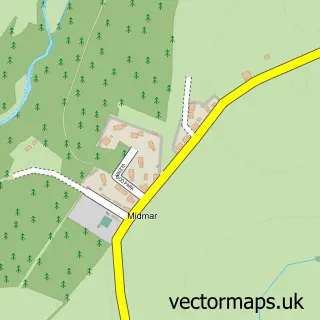
This Kemnay street map is a detailed vector street map covering a 750m x 750m area. Select a larger area to create and download your own vector street map of Kemnay.
The 750-metre map sample for Kemnay covers 488 mapped buildings and approximately 19.5 km of road detail, of which 35 named roads are named. The immediate area includes 1 GP surgery, 1 pub and 1 MOT station, with 2 within 2 miles. The wider area around Kemnay features 3 food and drink venues. To create a larger or custom map of Kemnay, the map builder lets you define your own coverage area and download editable SVG, PDF and PNG files.
Create a larger editable map of Kemnay
Choose any area you need and generate a high-quality vector map instantly. Perfect for print, planning, design, business and personal use.

This Kemnay street map in Aberdeenshire is available as downloadable SVG, PDF and PNG map files, or as a printed map for planning, business, display, education, local information and design work. You can also create a larger custom map area using the map selector.
What this Kemnay map sample shows
Kemnay lies within Aberdeenshire parish, part of West Garioch ward in the Aberdeenshire local authority area. The postcode geography for this area includes the AB postcode area, the AB51 postcode district and the AB51 5 postcode sector. Residents fall under the Grampian for NHS services.
Local features near Kemnay
Within 2 milesAmenities and services in and around Kemnay.
Administrative and postcode information for Kemnay
The local authority covering Kemnay is Aberdeenshire, within the county of Aberdeenshire. The settlement lies within West Garioch ward and Aberdeenshire civil parish. The AB51 postcode district and AB51 5 postcode sector serve the immediate area. NHS provision in the area is delivered through Grampian.
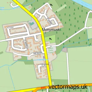
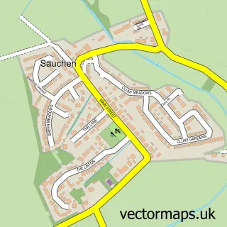
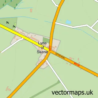
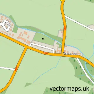
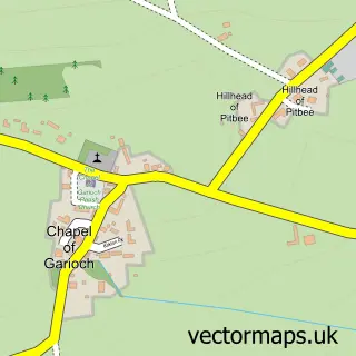
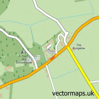
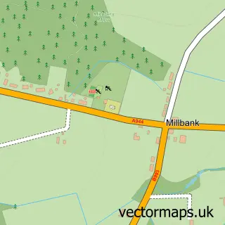
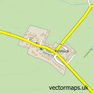
Nearby street map samples around Kemnay

More street maps in Aberdeenshire
750 metre map area coverage
Boundary, postcode and point of interest information for the 750m x 750m rectangle centred on this sample map.
Boundaries containing map centre
Constituency: West Aberdeenshire and Kincardine Co Const
District: Aberdeenshire
Icb: Grampian
Postcode District: AB51
Postcode Sector: AB51 5
Ward: West Garioch Ward
Nearby boundaries intersecting sample
Constituency: Gordon and Buchan Co Const
Postcode coverage
POI category counts
Hair Salon: 5
Convenience Store: 4
Atms: 3
Korean Grocery Store: 3
Butcher Shop: 2
Cafe: 2
Doctor: 2
Fish And Chips Restaurant: 2
Flowers And Gifts Shop: 2
Grocery Store: 2
Sample points of interest
- Dr Jones at barefoot pleasures
- Adagio Music Studios
- Grove Nursing Home
- Morrisons Daily - Kemnay Aquithie Road, KENMAY
- PayPoint
- The Cooperative Food Kemnay
- Cumming Fire And Security Ltd.
- CLUNY Garage
- Joyce Smith Quilts
- Little Cakes Of Art | Inverurie
- Rogues Barbers
- Bogbeth Park
Create a larger editable map of Kemnay
This sample shows only a 750 metre area. To create a larger map of Kemnay, use our map builder to choose your own coverage area, add titles and download editable SVG, PDF and PNG files.
Create a custom map of Kemnay