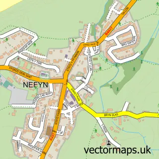
This Morfa Nefyn street map is a detailed vector street map covering a 750m x 750m area. Select a larger area to create and download your own vector street map of Morfa Nefyn.
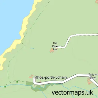
The 750-metre map sample for Morfa Nefyn covers 305 mapped buildings and approximately 10.7 km of road detail, of which 18 named roads are named. The immediate area includes 1 school and 2 MOT stations within 2 miles. The wider area around Morfa Nefyn features 2 hotels and 2 campsites within 2 miles. To create a larger or custom map of Morfa Nefyn, the map builder lets you define your own coverage area and download editable SVG, PDF and PNG files.
Create a larger editable map of Morfa Nefyn
Choose any area you need and generate a high-quality vector map instantly. Perfect for print, planning, design, business and personal use.

This Morfa Nefyn street map in Gwynedd is available as downloadable SVG, PDF and PNG map files, or as a printed map for planning, business, display, education, local information and design work. You can also create a larger custom map area using the map selector.
What this Morfa Nefyn map sample shows
Morfa Nefyn lies within Nefyn Community parish, part of Morfa Nefyn ward in the Gwynedd - Gwynedd local authority area. The postcode geography for this area includes the LL postcode area, the LL53 postcode district and the LL53 6 postcode sector. Residents fall under the Betsi Cadwaladr University Health Board for NHS services.
Local features near Morfa Nefyn
Within 2 milesAmenities and services in and around Morfa Nefyn.
Administrative and postcode information for Morfa Nefyn
The local authority covering Morfa Nefyn is Gwynedd - Gwynedd, within the county of Gwynedd. The settlement lies within Morfa Nefyn ward and Nefyn Community civil parish. The LL53 postcode district and LL53 6 postcode sector serve the immediate area. NHS provision in the area is delivered through Betsi Cadwaladr University Health Board.
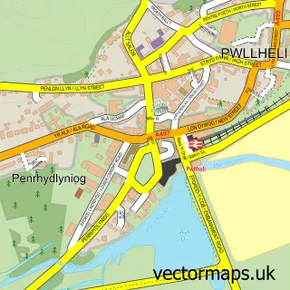
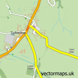
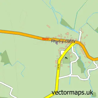
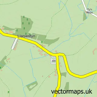
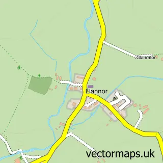
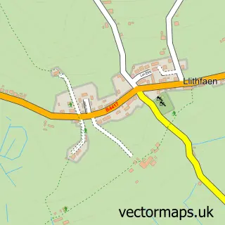
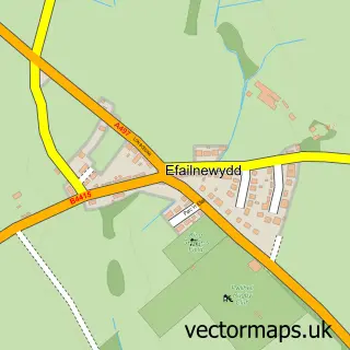
Nearby street map samples around Morfa Nefyn

More street maps in Gwynedd
750 metre map area coverage
Boundary, postcode and point of interest information for the 750m x 750m rectangle centred on this sample map.
Boundaries containing map centre
Constituency: Dwyfor Meirionnydd Co Const
District: Gwynedd - Gwynedd
Icb: Betsi Cadwaladr University
Parish: Nefyn Community
Police Force: north wales
Postcode District: LL53
Postcode Sector: LL53 6
Nearby boundaries intersecting sample
Postcode Sector: LL53 8
Postcode coverage
POI category counts
Courier And Delivery Services: 2
Grocery Store: 2
Holiday Rental Home: 2
Hotel: 2
Laundromat: 2
Beach: 1
Beauty And Spa: 1
Building Supply Store: 1
Church Cathedral: 1
Convenience Store: 1
Sample points of interest
- Morfa Nefyn Beach
- Sebon Glascoed
- Islwyn Roberts Electrical
- St Mary's Church
- Costcutter
- Boom Cottage
- Evri ParcelShop
- Evri ParcelShop
- Cylch Meithrin Morfa Nefyn
- Alwyn Roberts Electricians
- RNLI Porthdinllaen Lifeboat Station
- Tŷ Cod Morfa Nefyn
Create a larger editable map of Morfa Nefyn
This sample shows only a 750 metre area. To create a larger map of Morfa Nefyn, use our map builder to choose your own coverage area, add titles and download editable SVG, PDF and PNG files.
Create a custom map of Morfa Nefyn