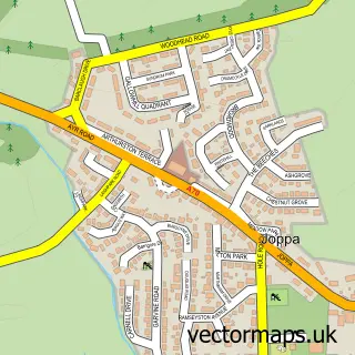
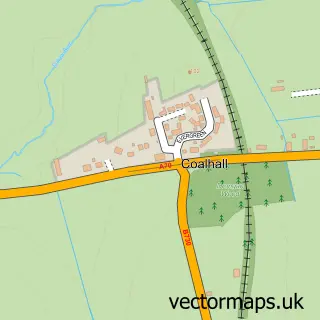
This Mossblown street map is a detailed vector street map covering a 750m x 750m area. Select a larger area to create and download your own vector street map of Mossblown.
The 750-metre map sample for Mossblown covers 237 mapped buildings and approximately 12.9 km of road detail, of which 15 named roads are named. The immediate area includes 1 pub. The wider area around Mossblown features 1 food and drink venue. To create a larger or custom map of Mossblown, the map builder lets you define your own coverage area and download editable SVG, PDF and PNG files.
Create a larger editable map of Mossblown
Choose any area you need and generate a high-quality vector map instantly. Perfect for print, planning, design, business and personal use.

This Mossblown street map in Ayrshire and Arran is available as downloadable SVG, PDF and PNG map files, or as a printed map for planning, business, display, education, local information and design work. You can also create a larger custom map area using the map selector.
What this Mossblown map sample shows
Mossblown lies within South Ayrshire parish, part of Kyle ward in the South Ayrshire local authority area. The postcode geography for this area includes the KA postcode area, the KA6 postcode district and the KA6 5 postcode sector. Residents fall under the Ayrshire And Arran for NHS services.
Local features near Mossblown
Within 2 milesAmenities and services in and around Mossblown.
Administrative and postcode information for Mossblown
The local authority covering Mossblown is South Ayrshire, within the county of Ayrshire And Arran. The settlement lies within Kyle ward and South Ayrshire civil parish. The KA6 postcode district and KA6 5 postcode sector serve the immediate area. NHS provision in the area is delivered through Ayrshire And Arran.
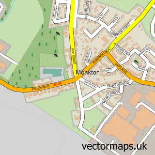
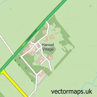
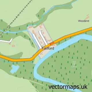
Nearby street map samples around Mossblown
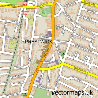

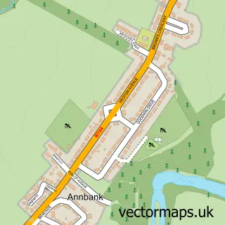
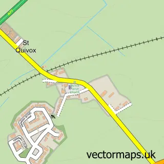
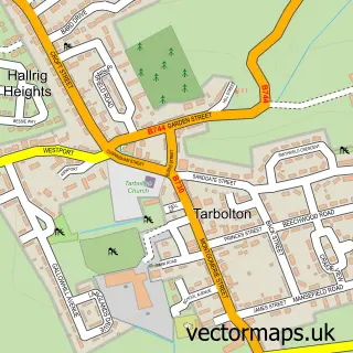
More street maps in Ayrshire and Arran
750 metre map area coverage
Boundary, postcode and point of interest information for the 750m x 750m rectangle centred on this sample map.
Boundaries containing map centre
Constituency: Central Ayrshire Co Const
District: South Ayrshire
Icb: Ayrshire and Arran
Postcode District: KA6
Postcode Sector: KA6 5
Ward: Kyle Ward
Nearby boundaries intersecting sample
No additional intersecting boundaries found.
Postcode coverage
POI category counts
Convenience Store: 3
Auto Electrical Repair: 2
Bakery: 2
Shipping Center: 2
Advertising Agency: 1
Assisted Living Facility: 1
Beauty And Spa: 1
Business Management Services: 1
Chinese Restaurant: 1
Community Center: 1
Sample points of interest
- Copywriting Expert
- South Ayrshire Council Sheltered Housing Wardens
- David A Brennan Electrical Contractors
- David A. Brennan
- Smillie's Bakery Mossblown
- The Auld Bakers
- SHAPES Hair Salon
- Coral
- Mossblown Chinese
- Mossblown Activity Centre
- Antony lloyd interiors
- Key Stores
Create a larger editable map of Mossblown
This sample shows only a 750 metre area. To create a larger map of Mossblown, use our map builder to choose your own coverage area, add titles and download editable SVG, PDF and PNG files.
Create a custom map of Mossblown