This Mudford street map is a detailed vector street map covering a 750m x 750m area. Select a larger area to create and download your own vector street map of Mudford.
The 750-metre map sample for Mudford covers 97 mapped buildings and approximately 5.4 km of road detail, of which 2 named roads are named. The immediate area includes 1 GP surgery within 2 miles, 1 pub and 5 MOT stations within 2 miles. The wider area around Mudford features 1 food and drink venue. To create a larger or custom map of Mudford, the map builder lets you define your own coverage area and download editable SVG, PDF and PNG files.
Create a larger editable map of Mudford
Choose any area you need and generate a high-quality vector map instantly. Perfect for print, planning, design, business and personal use.

This Mudford street map in Somerset is available as downloadable SVG, PDF and PNG map files, or as a printed map for planning, business, display, education, local information and design work. You can also create a larger custom map area using the map selector.
What this Mudford map sample shows
Mudford lies within Mudford Cp parish, part of Northstone, Ivelchester & St Michael's ward in the Somerset local authority area. The postcode geography for this area includes the BA postcode area, the BA21 postcode district and the BA21 5 postcode sector. Residents fall under the Nhs Somerset Integrated Care Board for NHS services.
Local features near Mudford
Within 2 milesAmenities and services in and around Mudford.
Administrative and postcode information for Mudford
Mudford lies within Mudford Cp parish, part of Northstone, Ivelchester & St Michael's ward in the Somerset local authority area. The postcode geography for this area includes the BA postcode area, the BA21 postcode district and the BA21 5 postcode sector. Residents fall under the Nhs Somerset Integrated Care Board for NHS services.
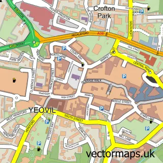
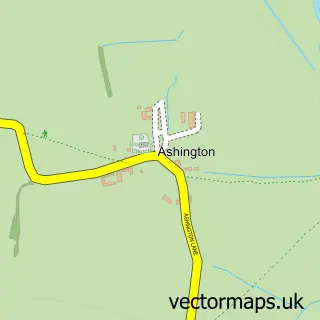
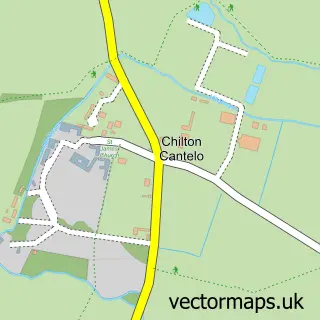
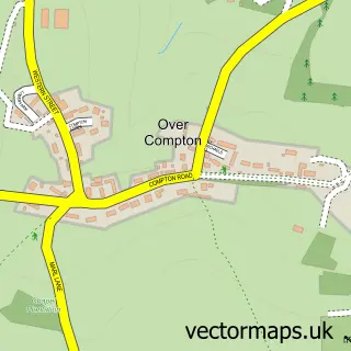
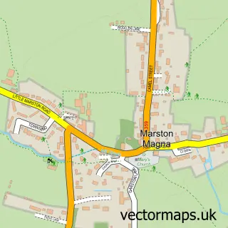
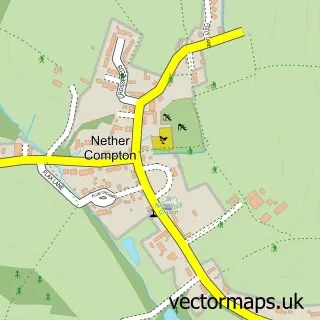
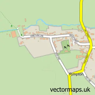
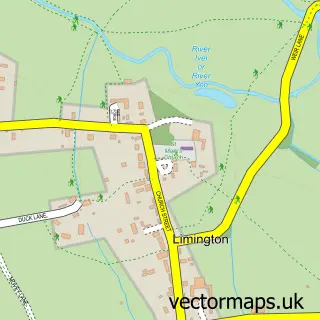
Nearby street map samples around Mudford


More street maps in Somerset
750 metre map area coverage
Boundary, postcode and point of interest information for the 750m x 750m rectangle centred on this sample map.
Boundaries containing map centre
Constituency: Glastonbury and Somerton Co Const
District: Somerset
Icb: NHS Somerset ICB
Parish: Mudford CP
Police Force: avon and somerset
Postcode District: BA21
Postcode Sector: BA21 5
Nearby boundaries intersecting sample
Constituency: West Dorset Co Const
District: Dorset
Icb: NHS Dorset ICB
Parish: Trent CP
Police Force: dorset
Postcode District: DT9
Postcode Sector: DT9 4
Ward: Sherborne Rural Ward
Postcode coverage
POI category counts
Anglican Church: 1
Assisted Living Facility: 1
Bar: 1
Car Dealer: 1
Carpet Store: 1
Church Cathedral: 1
Convenience Store: 1
Food Beverage Service Distribution: 1
Hair Salon: 1
Inn: 1
Sample points of interest
- The Blessed Virgin Mary
- Yarlington Housing Group
- Halfmoon Inn
- Cars of Yeovil
- Shaun Whittaker Carpets and Flooring
- Church of St Mary, Mudford
- Mudford Stores
- Easy Bean
- Green Scissors
- Half Moon Inn
- Post Office-Trent
- The Half Moon Inn & Country Lodge Mudford
Create a larger editable map of Mudford
This sample shows only a 750 metre area. To create a larger map of Mudford, use our map builder to choose your own coverage area, add titles and download editable SVG, PDF and PNG files.
Create a custom map of Mudford