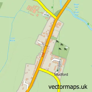
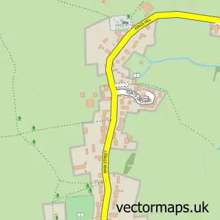
This Yeovil street map is a detailed vector street map covering a 750m x 750m area. Select a larger area to create and download your own vector street map of Yeovil.
The 750-metre map sample for Yeovil covers 262 mapped buildings and approximately 23.4 km of road detail, of which 55 named roads are named. The immediate area includes 1 school, 1 GP surgery, with 5 within 2 miles, 7 pubs and 4 MOT stations, with 25 within 2 miles. The wider area around Yeovil features 3 tourism points of interest, 35 food and drink venues and 4 hotels. To create a larger or custom map of Yeovil, the map builder lets you define your own coverage area and download editable SVG, PDF and PNG files.
Create a larger editable map of Yeovil
Choose any area you need and generate a high-quality vector map instantly. Perfect for print, planning, design, business and personal use.

This Yeovil street map in Somerset is available as downloadable SVG, PDF and PNG map files, or as a printed map for planning, business, display, education, local information and design work. You can also create a larger custom map area using the map selector.
What this Yeovil map sample shows
Yeovil lies within Yeovil Cp parish, part of Yeovil Westland ward in the Somerset local authority area. The postcode geography for this area includes the BA postcode area, the BA20 postcode district and the BA20 1 postcode sector. Residents fall under the Nhs Somerset Integrated Care Board for NHS services.
Local features near Yeovil
Within 2 milesAmenities and services in and around Yeovil.
Administrative and postcode information for Yeovil
Yeovil lies within Yeovil Cp parish, part of Yeovil Westland ward in the Somerset local authority area. The postcode geography for this area includes the BA postcode area, the BA20 postcode district and the BA20 1 postcode sector. Residents fall under the Nhs Somerset Integrated Care Board for NHS services.
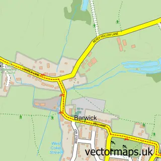
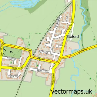
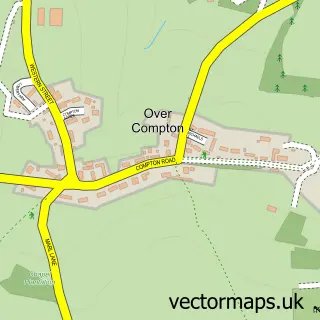
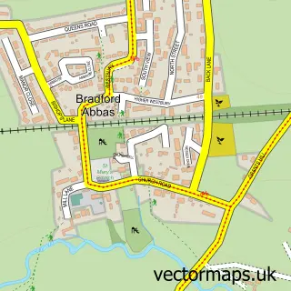
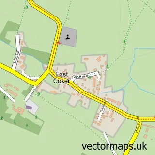
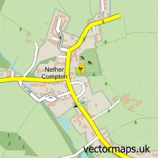
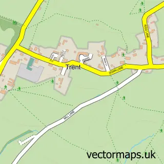
Nearby street map samples around Yeovil

More street maps in Somerset
750 metre map area coverage
Boundary, postcode and point of interest information for the 750m x 750m rectangle centred on this sample map.
Boundaries containing map centre
Constituency: Yeovil Co Const
District: Somerset
Icb: NHS Somerset ICB
Parish: Yeovil CP
Police Force: avon and somerset
Postcode District: BA20
Postcode Sector: BA20 1
Nearby boundaries intersecting sample
Parish: Barwick and Stoford CP
Postcode District: BA21
Postcode Sector: BA20 2, BA21 4
Postcode coverage
POI category counts
Hair Salon: 25
Clothing Store: 19
Mobile Phone Store: 17
Real Estate Agent: 17
Beauty Salon: 15
Employment Agencies: 15
Professional Services: 13
Barber: 12
Cafe: 12
Jewelry Store: 12
Sample points of interest
- Turning Point
- The Warehouse Rooms Yeovil
- Albert Goodman Chartered Accountants
- Chalmers & Co. Chartered Accountants
- Gilbie Roberts Ltd
- Ivan Rendall & Co
- Old Mill Accountants & Financial Planners
- Read & Co. Chartered Accountants
- Naomi Maynard Yeovil Acupuncturist
- Yeovil Acupuncture
- Core Creative
- Holla Creative
Create a larger editable map of Yeovil
This sample shows only a 750 metre area. To create a larger map of Yeovil, use our map builder to choose your own coverage area, add titles and download editable SVG, PDF and PNG files.
Create a custom map of Yeovil