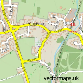
This Bradford Abbas street map is a detailed vector street map covering a 750m x 750m area. Select a larger area to create and download your own vector street map of Bradford Abbas.
The 750-metre map sample for Bradford Abbas covers 276 mapped buildings and approximately 10.8 km of road detail, of which 18 named roads are named. The immediate area includes 1 school, 1 pub and 9 MOT stations within 2 miles. The wider area around Bradford Abbas features 2 tourism points of interest, 1 food and drink venue and 1 campsite within 2 miles. To create a larger or custom map of Bradford Abbas, the map builder lets you define your own coverage area and download editable SVG, PDF and PNG files.
Create a larger editable map of Bradford Abbas
Choose any area you need and generate a high-quality vector map instantly. Perfect for print, planning, design, business and personal use.

This Bradford Abbas street map in Dorset is available as downloadable SVG, PDF and PNG map files, or as a printed map for planning, business, display, education, local information and design work. You can also create a larger custom map area using the map selector.
What this Bradford Abbas map sample shows
Bradford Abbas lies within Bradford Abbas Cp parish, part of Sherborne Rural ward in the Dorset local authority area. The postcode geography for this area includes the DT postcode area, the DT9 postcode district and the DT9 6 postcode sector. Residents fall under the Nhs Dorset Integrated Care Board for NHS services.
Local features near Bradford Abbas
Within 2 milesAmenities and services in and around Bradford Abbas.
Administrative and postcode information for Bradford Abbas
Bradford Abbas lies within Bradford Abbas Cp parish, part of Sherborne Rural ward in the Dorset local authority area. The postcode geography for this area includes the DT postcode area, the DT9 postcode district and the DT9 6 postcode sector. Residents fall under the Nhs Dorset Integrated Care Board for NHS services.
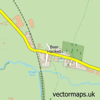
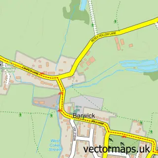
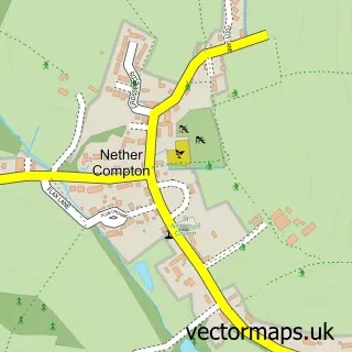
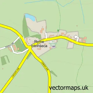
Nearby street map samples around Bradford Abbas

More street maps in Dorset
750 metre map area coverage
Boundary, postcode and point of interest information for the 750m x 750m rectangle centred on this sample map.
Boundaries containing map centre
Constituency: West Dorset Co Const
District: Dorset
Icb: NHS Dorset ICB
Parish: Bradford Abbas CP
Police Force: dorset
Postcode District: DT9
Postcode Sector: DT9 6
Ward: Sherborne Rural Ward
Nearby boundaries intersecting sample
Parish: Castleton CP, Clifton Maybank CP
Postcode coverage
POI category counts
Elementary School: 2
Anglican Church: 1
Arts And Entertainment: 1
Automotive Repair: 1
Bar: 1
Cabin: 1
Church Cathedral: 1
Contractor: 1
Convenience Store: 1
Museum: 1
Sample points of interest
- Bradford Abbas: St Mary the Virgin
- Dawn Warr Portraits & Taxidermists
- Giles Cars
- The ROSE and CROWN
- Apple Tree Cottage Self Catering Holidays
- St Mary's Church
- Dwellings Maintenance and Services
- Bradford Abbas Post Office
- St Mary C of E Primary School
- St Mary's Church of England Primary School
- Bradford Abbas History Society
- Mill Farm Music
Create a larger editable map of Bradford Abbas
This sample shows only a 750 metre area. To create a larger map of Bradford Abbas, use our map builder to choose your own coverage area, add titles and download editable SVG, PDF and PNG files.
Create a custom map of Bradford Abbas