This Thornford street map is a detailed vector street map covering a 750m x 750m area. Select a larger area to create and download your own vector street map of Thornford.
The 750-metre map sample for Thornford covers 301 mapped buildings and approximately 9.6 km of road detail, of which 18 named roads are named. The immediate area includes 1 school, 1 GP surgery within 2 miles, 2 pubs and 2 MOT stations within 2 miles. The wider area around Thornford features 2 food and drink venues. To create a larger or custom map of Thornford, the map builder lets you define your own coverage area and download editable SVG, PDF and PNG files.
Create a larger editable map of Thornford
Choose any area you need and generate a high-quality vector map instantly. Perfect for print, planning, design, business and personal use.

This Thornford street map in Dorset is available as downloadable SVG, PDF and PNG map files, or as a printed map for planning, business, display, education, local information and design work. You can also create a larger custom map area using the map selector.
What this Thornford map sample shows
Thornford lies within Thornford Cp parish, part of Sherborne Rural ward in the Dorset local authority area. The postcode geography for this area includes the DT postcode area, the DT9 postcode district and the DT9 6 postcode sector. Residents fall under the Nhs Dorset Integrated Care Board for NHS services.
Local features near Thornford
Within 2 milesAmenities and services in and around Thornford.
Administrative and postcode information for Thornford
The local authority covering Thornford is Dorset, within the county of Dorset. The settlement lies within Sherborne Rural ward and Thornford Cp civil parish. The DT9 postcode district and DT9 6 postcode sector serve the immediate area. NHS provision in the area is delivered through Yeovil District Hospital Nhs Foundation Trust.
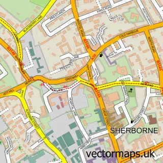
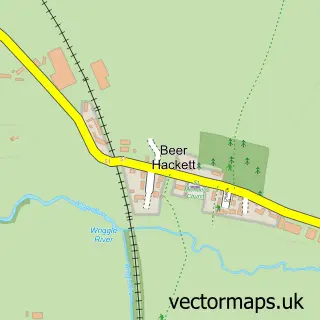
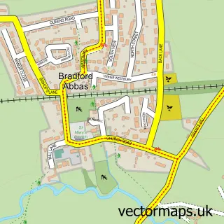
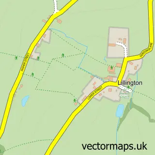
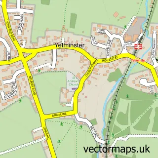
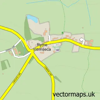
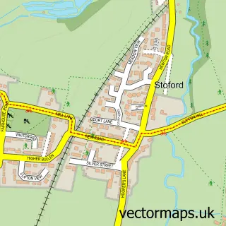
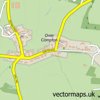
Nearby street map samples around Thornford

More street maps in Dorset
750 metre map area coverage
Boundary, postcode and point of interest information for the 750m x 750m rectangle centred on this sample map.
Boundaries containing map centre
Constituency: West Dorset Co Const
District: Dorset
Icb: NHS Dorset ICB
Parish: Thornford CP
Police Force: dorset
Postcode District: DT9
Postcode Sector: DT9 6
Ward: Sherborne Rural Ward
Nearby boundaries intersecting sample
No additional intersecting boundaries found.
Postcode coverage
POI category counts
Elementary School: 2
Pub: 2
Anglican Church: 1
Architect: 1
Bar: 1
Beauty Salon: 1
Carpenter: 1
Church Cathedral: 1
Community Center: 1
Contractor: 1
Sample points of interest
- Thornford: St Mary Magdalene
- Paul Gale Planning & Architectural Design
- The Lime Tree
- Complexion Skin Clinic
- Marun Construction
- St Mary Magdalene's Church
- Thornford Village Hall
- Helyar Groundworks
- Thornford C of E Primary School
- Thornford Church of England Voluntary Aided Primary School
- April Beauty Clinic
- Dorchester Computers
Create a larger editable map of Thornford
This sample shows only a 750 metre area. To create a larger map of Thornford, use our map builder to choose your own coverage area, add titles and download editable SVG, PDF and PNG files.
Create a custom map of Thornford