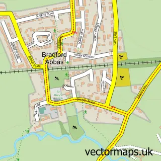
This Yetminster street map is a detailed vector street map covering a 750m x 750m area. Select a larger area to create and download your own vector street map of Yetminster.
The 750-metre map sample for Yetminster covers 287 mapped buildings and approximately 11.1 km of road detail, of which 23 named roads are named. The immediate area includes 1 school, 1 railway station, 1 GP surgery and 2 pubs among other local services. The wider area around Yetminster features 3 food and drink venues and 1 hotel. To create a larger or custom map of Yetminster, the map builder lets you define your own coverage area and download editable SVG, PDF and PNG files.
Create a larger editable map of Yetminster
Choose any area you need and generate a high-quality vector map instantly. Perfect for print, planning, design, business and personal use.

This Yetminster street map in Dorset is available as downloadable SVG, PDF and PNG map files, or as a printed map for planning, business, display, education, local information and design work. You can also create a larger custom map area using the map selector.
What this Yetminster map sample shows
Yetminster lies within Yetminster Cp parish, part of Yetminster ward in the Dorset local authority area. The postcode geography for this area includes the DT postcode area, the DT9 postcode district and the DT9 6 postcode sector. Residents fall under the Nhs Dorset Integrated Care Board for NHS services.
Local features near Yetminster
Within 2 milesAmenities and services in and around Yetminster.
Administrative and postcode information for Yetminster
Yetminster lies within Yetminster Cp parish, part of Yetminster ward in the Dorset local authority area. The postcode geography for this area includes the DT postcode area, the DT9 postcode district and the DT9 6 postcode sector. Residents fall under the Nhs Dorset Integrated Care Board for NHS services.
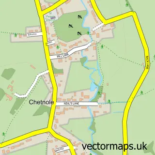
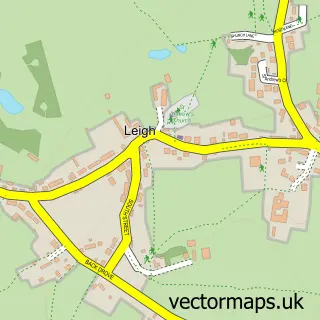
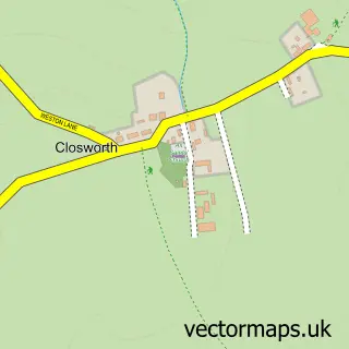
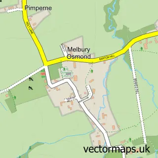
Nearby street map samples around Yetminster

More street maps in Dorset
750 metre map area coverage
Boundary, postcode and point of interest information for the 750m x 750m rectangle centred on this sample map.
Boundaries containing map centre
Constituency: West Dorset Co Const
District: Dorset
Icb: NHS Dorset ICB
Parish: Yetminster CP
Police Force: dorset
Postcode District: DT9
Postcode Sector: DT9 6
Ward: Yetminster Ward
Nearby boundaries intersecting sample
No additional intersecting boundaries found.
Postcode coverage
POI category counts
Antique Store: 2
Automotive Repair: 2
Elementary School: 2
Pub: 2
Shipping Center: 2
Train Station: 2
Used Car Dealer: 2
Anglican Church: 1
Automotive Parts And Accessories: 1
Bar: 1
Sample points of interest
- Yetminster: St Andrew
- Out of Town
- Yetminster Antiques
- Express Motor Parts Ltd
- Autotech Yetminster
- Thornford Transmissions
- Yetminster Community Sports Club
- Old School Gallery & Cafe
- J Bennett Joinery
- The Wriggle Valley Benefice
- Yetminster Village Hall
- SPAR
Create a larger editable map of Yetminster
This sample shows only a 750 metre area. To create a larger map of Yetminster, use our map builder to choose your own coverage area, add titles and download editable SVG, PDF and PNG files.
Create a custom map of Yetminster