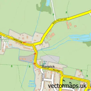
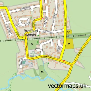
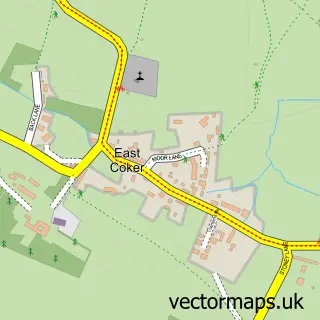
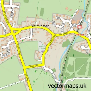
This Stoford street map is a detailed vector street map covering a 750m x 750m area. Select a larger area to create and download your own vector street map of Stoford.
The 750-metre map sample for Stoford covers 208 mapped buildings and approximately 10.0 km of road detail, of which 17 named roads are named. The immediate area includes 3 GP surgeries within 2 miles and 1 MOT station, with 13 within 2 miles. The wider area around Stoford features 1 campsite within 2 miles. To create a larger or custom map of Stoford, the map builder lets you define your own coverage area and download editable SVG, PDF and PNG files.
Create a larger editable map of Stoford
Choose any area you need and generate a high-quality vector map instantly. Perfect for print, planning, design, business and personal use.

This Stoford street map in Somerset is available as downloadable SVG, PDF and PNG map files, or as a printed map for planning, business, display, education, local information and design work. You can also create a larger custom map area using the map selector.
What this Stoford map sample shows
Stoford lies within Clifton Maybank Cp parish, part of Sherborne Rural ward in the Dorset local authority area. The postcode geography for this area includes the BA postcode area, the BA22 postcode district and the BA22 9 postcode sector. Residents fall under the Nhs Dorset Integrated Care Board for NHS services.
Local features near Stoford
Within 2 milesAmenities and services in and around Stoford.
Administrative and postcode information for Stoford
Stoford lies within Clifton Maybank Cp parish, part of Sherborne Rural ward in the Dorset local authority area. The postcode geography for this area includes the BA postcode area, the BA22 postcode district and the BA22 9 postcode sector. Residents fall under the Nhs Dorset Integrated Care Board for NHS services.
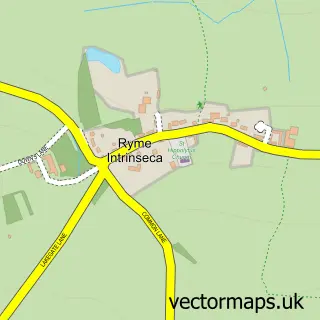
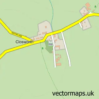
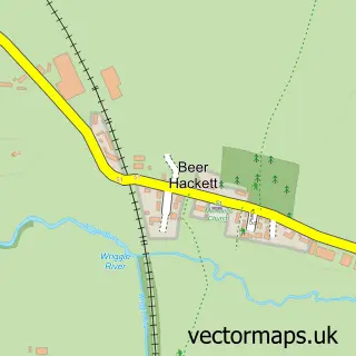
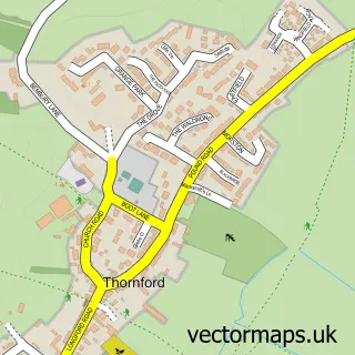
Nearby street map samples around Stoford

More street maps in Somerset
750 metre map area coverage
Boundary, postcode and point of interest information for the 750m x 750m rectangle centred on this sample map.
Boundaries containing map centre
Constituency: Yeovil Co Const
District: Somerset
Icb: NHS Somerset ICB
Parish: Barwick and Stoford CP
Police Force: avon and somerset
Postcode District: BA22
Postcode Sector: BA22 9
Nearby boundaries intersecting sample
Constituency: West Dorset Co Const
District: Dorset
Icb: NHS Dorset ICB
Parish: Clifton Maybank CP
Police Force: dorset
Ward: Sherborne Rural Ward
Postcode coverage
POI category counts
Beauty Salon: 2
Assisted Living Facility: 1
Auto Loan Provider: 1
Automotive Dealer: 1
Automotive Repair: 1
Automotive Services And Repair: 1
Beer Bar: 1
Car Dealer: 1
Charity Organization: 1
Contractor: 1
Sample points of interest
- Yarlington Housing Group Sheltered Housing Scheme
- D P Mortgage Search
- Stoford Commercial Centre
- Tyres 2 U
- LKW Autos
- Headkandi Boutique Salon
- Natasha's Beauty Therapy
- The Royal Oak, Stoford
- Stoford Garage
- Geranium Trust
- Le Courts
- Brighten Well-Being Centre
Create a larger editable map of Stoford
This sample shows only a 750 metre area. To create a larger map of Stoford, use our map builder to choose your own coverage area, add titles and download editable SVG, PDF and PNG files.
Create a custom map of Stoford