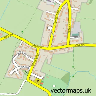
This Chilthorne Domer street map is a detailed vector street map covering a 750m x 750m area. Select a larger area to create and download your own vector street map of Chilthorne Domer.
The 750-metre map sample for Chilthorne Domer covers 101 mapped buildings and approximately 3.0 km of road detail, of which 3 named roads are named. The immediate area includes 1 school and 10 MOT stations within 2 miles. The wider area around Chilthorne Domer features 1 hotel. To create a larger or custom map of Chilthorne Domer, the map builder lets you define your own coverage area and download editable SVG, PDF and PNG files.
Create a larger editable map of Chilthorne Domer
Choose any area you need and generate a high-quality vector map instantly. Perfect for print, planning, design, business and personal use.

This Chilthorne Domer street map in Somerset is available as downloadable SVG, PDF and PNG map files, or as a printed map for planning, business, display, education, local information and design work. You can also create a larger custom map area using the map selector.
What this Chilthorne Domer map sample shows
Chilthorne Domer lies within Chilthorne Domer Cp parish, part of Northstone, Ivelchester & St Michael's ward in the Somerset local authority area. The postcode geography for this area includes the BA postcode area, the BA21 postcode district and the BA21 3 postcode sector. Residents fall under the Nhs Somerset Integrated Care Board for NHS services.
Local features near Chilthorne Domer
Within 2 milesAmenities and services in and around Chilthorne Domer.
Administrative and postcode information for Chilthorne Domer
Chilthorne Domer lies within Chilthorne Domer Cp parish, part of Northstone, Ivelchester & St Michael's ward in the Somerset local authority area. The postcode geography for this area includes the BA postcode area, the BA21 postcode district and the BA21 3 postcode sector. Residents fall under the Nhs Somerset Integrated Care Board for NHS services.
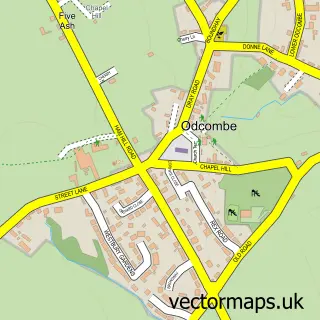
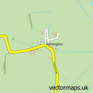
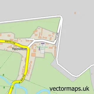
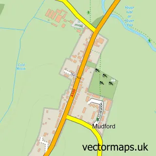
Nearby street map samples around Chilthorne Domer
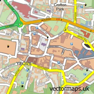

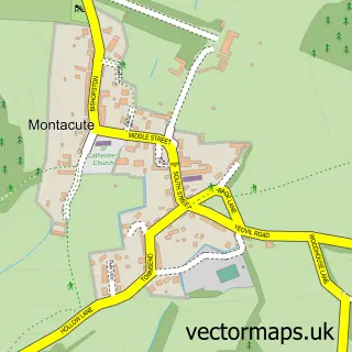
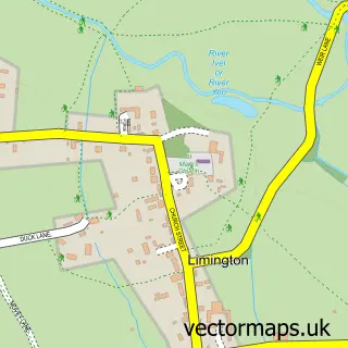

More street maps in Somerset
750 metre map area coverage
Boundary, postcode and point of interest information for the 750m x 750m rectangle centred on this sample map.
Boundaries containing map centre
Constituency: Glastonbury and Somerton Co Const
District: Somerset
Icb: NHS Somerset ICB
Parish: Chilthorne Domer CP
Police Force: avon and somerset
Postcode District: BA22
Postcode Sector: BA22 8
Nearby boundaries intersecting sample
Postcode District: BA21
Postcode Sector: BA21 3
Postcode coverage
POI category counts
Post Office: 3
Community Services Non Profits: 2
Anglican Church: 1
Bed And Breakfast: 1
Bike Repair Maintenance: 1
Charity Organization: 1
Elementary School: 1
Farm: 1
Hotel: 1
Music Venue: 1
Sample points of interest
- The Blessed Virgin Mary
- Pound Farm
- Chain Gang Bike Repairs
- School in a Bag
- Chilthorne Domer Recreational Trust
- Piers Simon Appeal
- Chilthorne Domer Church School
- R H Simon
- Home Farm Events and Accommodation
- Home Farm Fest
- The hair OFF the dog
- Chilthorne Domer Post Office
Create a larger editable map of Chilthorne Domer
This sample shows only a 750 metre area. To create a larger map of Chilthorne Domer, use our map builder to choose your own coverage area, add titles and download editable SVG, PDF and PNG files.
Create a custom map of Chilthorne Domer