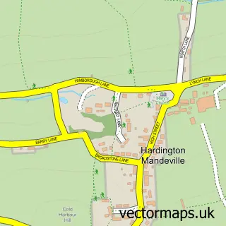
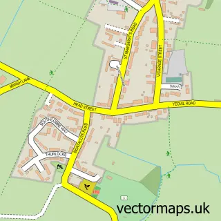
This Odcombe street map is a detailed vector street map covering a 750m x 750m area. Select a larger area to create and download your own vector street map of Odcombe.
The 750-metre map sample for Odcombe covers 236 mapped buildings and approximately 15.1 km of road detail, of which 17 named roads are named. The immediate area includes 1 GP surgery within 2 miles and 12 MOT stations within 2 miles. The wider area around Odcombe features 1 campsite within 2 miles. To create a larger or custom map of Odcombe, the map builder lets you define your own coverage area and download editable SVG, PDF and PNG files.
Create a larger editable map of Odcombe
Choose any area you need and generate a high-quality vector map instantly. Perfect for print, planning, design, business and personal use.

This Odcombe street map in Somerset is available as downloadable SVG, PDF and PNG map files, or as a printed map for planning, business, display, education, local information and design work. You can also create a larger custom map area using the map selector.
What this Odcombe map sample shows
Odcombe lies within Odcombe Cp parish, part of Coker ward in the Somerset local authority area. The postcode geography for this area includes the BA postcode area, the BA22 postcode district and the BA22 8 postcode sector. Residents fall under the Nhs Somerset Integrated Care Board for NHS services.
Local features near Odcombe
Within 2 milesAmenities and services in and around Odcombe.
Administrative and postcode information for Odcombe
Odcombe lies within Odcombe Cp parish, part of Coker ward in the Somerset local authority area. The postcode geography for this area includes the BA postcode area, the BA22 postcode district and the BA22 8 postcode sector. Residents fall under the Nhs Somerset Integrated Care Board for NHS services.
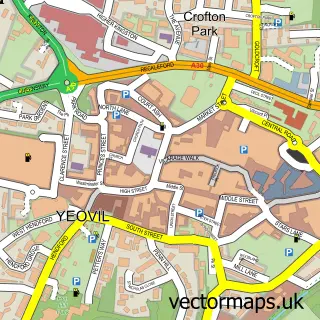
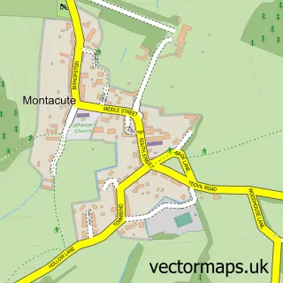
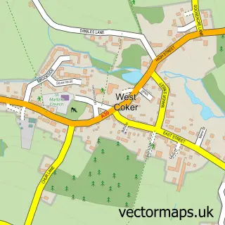
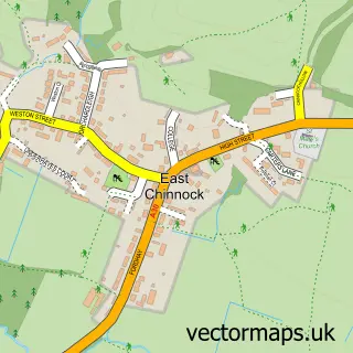
Nearby street map samples around Odcombe

More street maps in Somerset
750 metre map area coverage
Boundary, postcode and point of interest information for the 750m x 750m rectangle centred on this sample map.
Boundaries containing map centre
Constituency: Yeovil Co Const
District: Somerset
Icb: NHS Somerset ICB
Parish: Odcombe CP
Police Force: avon and somerset
Postcode District: BA22
Postcode Sector: BA22 8
Nearby boundaries intersecting sample
Parish: East Chinnock CP
Postcode Sector: BA22 9
Postcode coverage
POI category counts
Anglican Church: 1
Building Contractor: 1
Caterer: 1
Church Cathedral: 1
Engineering Services: 1
Event Planning: 1
Food Safety Training: 1
Plumbing: 1
Post Office: 1
Retail: 1
Sample points of interest
- Odcombe, St Peter & St Paul
- D Caines
- Spitting Pig Somerset
- St Peter and St Paul's Church
- NPT Engineering and Environmental
- Odcombe Village Hall
- Ice Maiden Cakes
- M L Dalwood Plumbing & Heating
- Odcombe Post Office
- Hedgehog Photographic
- Hedgehog Photographic
- Podimore
Create a larger editable map of Odcombe
This sample shows only a 750 metre area. To create a larger map of Odcombe, use our map builder to choose your own coverage area, add titles and download editable SVG, PDF and PNG files.
Create a custom map of Odcombe