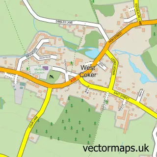
This Montacute street map is a detailed vector street map covering a 750m x 750m area. Select a larger area to create and download your own vector street map of Montacute.
The 750-metre map sample for Montacute covers 131 mapped buildings and approximately 7.0 km of road detail, of which 12 named roads are named. The immediate area includes 1 school, 1 GP surgery within 2 miles, 1 pub and 7 MOT stations within 2 miles. The wider area around Montacute features 4 tourism points of interest, 1 food and drink venue and 1 hotel. To create a larger or custom map of Montacute, the map builder lets you define your own coverage area and download editable SVG, PDF and PNG files.
Create a larger editable map of Montacute
Choose any area you need and generate a high-quality vector map instantly. Perfect for print, planning, design, business and personal use.

This Montacute street map in Somerset is available as downloadable SVG, PDF and PNG map files, or as a printed map for planning, business, display, education, local information and design work. You can also create a larger custom map area using the map selector.
What this Montacute map sample shows
Montacute lies within Montacute Cp parish, part of Northstone, Ivelchester & St Michael's ward in the Somerset local authority area. The postcode geography for this area includes the TA postcode area, the TA15 postcode district and the TA15 6 postcode sector. Residents fall under the Nhs Somerset Integrated Care Board for NHS services.
Local features near Montacute
Within 2 milesAmenities and services in and around Montacute.
Administrative and postcode information for Montacute
Montacute lies within Montacute Cp parish, part of Northstone, Ivelchester & St Michael's ward in the Somerset local authority area. The postcode geography for this area includes the TA postcode area, the TA15 postcode district and the TA15 6 postcode sector. Residents fall under the Nhs Somerset Integrated Care Board for NHS services.
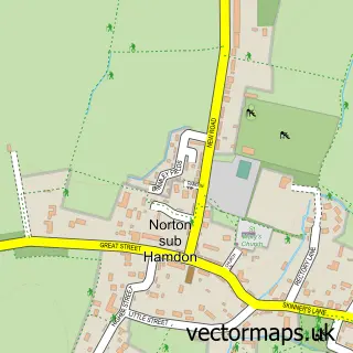
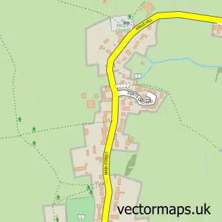
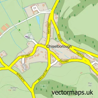
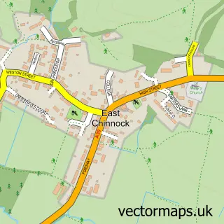
Nearby street map samples around Montacute

More street maps in Somerset
750 metre map area coverage
Boundary, postcode and point of interest information for the 750m x 750m rectangle centred on this sample map.
Boundaries containing map centre
Constituency: Glastonbury and Somerton Co Const
District: Somerset
Icb: NHS Somerset ICB
Parish: Montacute CP
Police Force: avon and somerset
Postcode District: TA15
Postcode Sector: TA15 6
Nearby boundaries intersecting sample
Constituency: Yeovil Co Const
Parish: Odcombe CP
Postcode coverage
POI category counts
Bed And Breakfast: 2
Church Cathedral: 2
Elementary School: 2
Inn: 2
Landmark And Historical Building: 2
Post Office: 2
Tea Room: 2
Advertising Agency: 1
Anglican Church: 1
Arts And Crafts: 1
Sample points of interest
- Positive Public Relations
- Montacute, St Catherine's.
- Arts & Crafts at Montacute Post Office
- Carents House Bed & Breakfast
- Slipper Cottage B & B
- Clive Farahar
- St Catherine's Church
- St Catherine, Montacute
- Maid in Somerset
- Montacute Village Hall
- All Saints Church of England Primary School
- All Saints Church of England Primary School
Create a larger editable map of Montacute
This sample shows only a 750 metre area. To create a larger map of Montacute, use our map builder to choose your own coverage area, add titles and download editable SVG, PDF and PNG files.
Create a custom map of Montacute