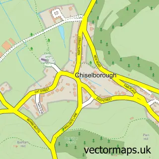
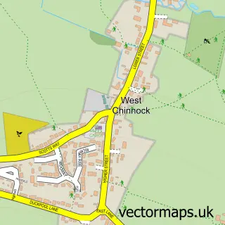
This Stoke-sub-Hamdon street map is a detailed vector street map covering a 750m x 750m area. Select a larger area to create and download your own vector street map of Stoke-sub-Hamdon.
The 750-metre map sample for Stoke-sub-Hamdon covers 261 mapped buildings and approximately 10.9 km of road detail, of which 18 named roads are named. The immediate area includes 1 school, 1 GP surgery, with 2 within 2 miles, 3 pubs and 4 MOT stations within 2 miles. The wider area around Stoke-sub-Hamdon features 3 tourism points of interest, 5 food and drink venues and 1 hotel. To create a larger or custom map of Stoke-sub-Hamdon, the map builder lets you define your own coverage area and download editable SVG, PDF and PNG files.
Create a larger editable map of Stoke-sub-Hamdon
Choose any area you need and generate a high-quality vector map instantly. Perfect for print, planning, design, business and personal use.

This Stoke-sub-Hamdon street map in Somerset is available as downloadable SVG, PDF and PNG map files, or as a printed map for planning, business, display, education, local information and design work. You can also create a larger custom map area using the map selector.
What this Stoke-sub-Hamdon map sample shows
Stoke-sub-Hamdon lies within Stoke Sub Hamdon Cp parish, part of Hamdon ward in the Somerset local authority area. The postcode geography for this area includes the TA postcode area, the TA14 postcode district and the TA14 6 postcode sector. Residents fall under the Nhs Somerset Integrated Care Board for NHS services.
Local features near Stoke-sub-Hamdon
Within 2 milesAmenities and services in and around Stoke-sub-Hamdon.
Administrative and postcode information for Stoke-sub-Hamdon
The local authority covering Stoke-sub-Hamdon is Somerset, within the county of Somerset. The settlement lies within Hamdon ward and Stoke Sub Hamdon Cp civil parish. The TA14 postcode district and TA14 6 postcode sector serve the immediate area. NHS provision in the area is delivered through Yeovil District Hospital Nhs Foundation Trust.
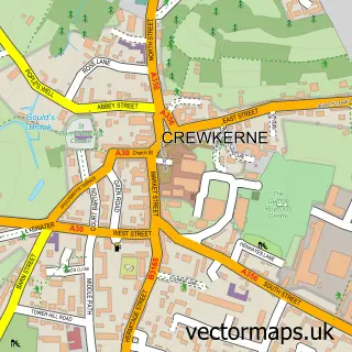
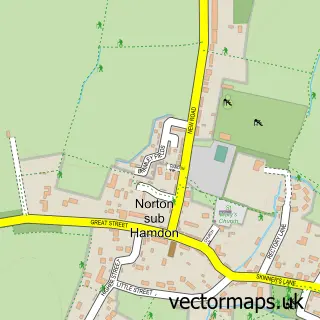
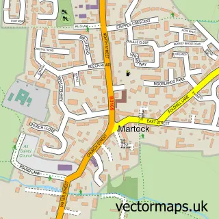
Nearby street map samples around Stoke-sub-Hamdon

More street maps in Somerset
750 metre map area coverage
Boundary, postcode and point of interest information for the 750m x 750m rectangle centred on this sample map.
Boundaries containing map centre
Constituency: Glastonbury and Somerton Co Const
District: Somerset
Icb: NHS Somerset ICB
Parish: Stoke sub Hamdon CP
Police Force: avon and somerset
Postcode District: TA14
Postcode Sector: TA14 6
Nearby boundaries intersecting sample
No additional intersecting boundaries found.
Postcode coverage
POI category counts
Beauty Salon: 3
First Aid Class: 3
Pub: 3
Financial Advising: 2
Landmark And Historical Building: 2
Pharmacy: 2
Printing Services: 2
Shipping Center: 2
Assisted Living Facility: 1
Automotive Parts And Accessories: 1
Sample points of interest
- Yarlington Housing Group
- YMC Racing
- Jenoo Software
- Sugar Plum Tree
- Hamdon Beauty Barn
- Perfect Ten By Donna
- Studio CCK
- Door Central
- Resolver
- Radfords Fine Fudge
- Southcombe Brothers Ltd.
- Southcombe Brothers
Create a larger editable map of Stoke-sub-Hamdon
This sample shows only a 750 metre area. To create a larger map of Stoke-sub-Hamdon, use our map builder to choose your own coverage area, add titles and download editable SVG, PDF and PNG files.
Create a custom map of Stoke-sub-Hamdon