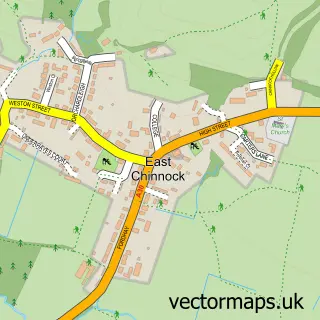
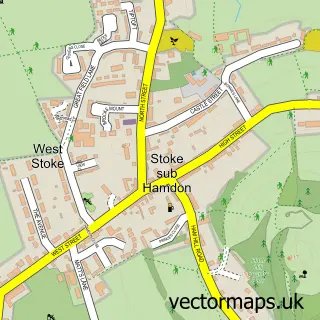
This West Chinnock street map is a detailed vector street map covering a 750m x 750m area. Select a larger area to create and download your own vector street map of West Chinnock.
The 750-metre map sample for West Chinnock covers 196 mapped buildings and approximately 6.8 km of road detail, of which 9 named roads are named. The immediate area includes 1 school, 1 pub and 1 MOT station within 2 miles. The wider area around West Chinnock features 1 food and drink venue. To create a larger or custom map of West Chinnock, the map builder lets you define your own coverage area and download editable SVG, PDF and PNG files.
Create a larger editable map of West Chinnock
Choose any area you need and generate a high-quality vector map instantly. Perfect for print, planning, design, business and personal use.

This West Chinnock street map in Somerset is available as downloadable SVG, PDF and PNG map files, or as a printed map for planning, business, display, education, local information and design work. You can also create a larger custom map area using the map selector.
What this West Chinnock map sample shows
West Chinnock lies within West And Middle Chinnock Cp parish, part of Parrett ward in the Somerset local authority area. The postcode geography for this area includes the TA postcode area, the TA18 postcode district and the TA18 7 postcode sector. Residents fall under the Nhs Somerset Integrated Care Board for NHS services.
Local features near West Chinnock
Within 2 milesAmenities and services in and around West Chinnock.
Administrative and postcode information for West Chinnock
The local authority covering West Chinnock is Somerset, within the county of Somerset. The settlement lies within Parrett ward and West And Middle Chinnock Cp civil parish. The TA18 postcode district and TA18 7 postcode sector serve the immediate area. NHS provision in the area is delivered through Yeovil District Hospital Nhs Foundation Trust.
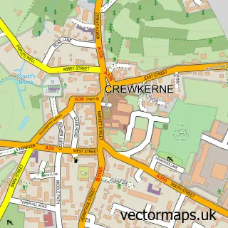
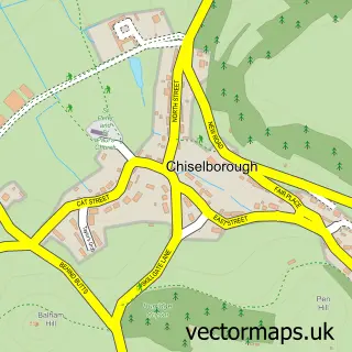
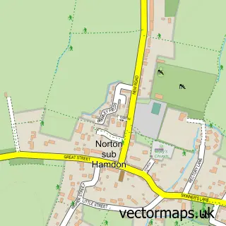
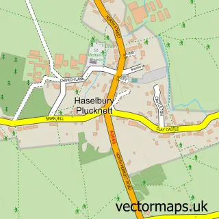
Nearby street map samples around West Chinnock

More street maps in Somerset
750 metre map area coverage
Boundary, postcode and point of interest information for the 750m x 750m rectangle centred on this sample map.
Boundaries containing map centre
Constituency: Yeovil Co Const
District: Somerset
Icb: NHS Somerset ICB
Parish: West and Middle Chinnock CP
Police Force: avon and somerset
Postcode District: TA18
Postcode Sector: TA18 7
Nearby boundaries intersecting sample
No additional intersecting boundaries found.
Postcode coverage
POI category counts
Laundry Services: 2
Alternative Medicine: 1
Anglican Church: 1
Caterer: 1
Church Cathedral: 1
Dog Walkers: 1
Education: 1
Elementary School: 1
Employment Agencies: 1
Financial Advising: 1
Sample points of interest
- The Osteopathic Surgery
- West Chinnock: The Blessed Virgin Mary
- Taste of the wild
- St Mary's, West Chinnock
- Animals at Home
- Somerset County Council
- West Chinnock C of E Primary School
- CNA Executive Search
- Eva Wealth Management for Women
- Little Angels Ironing Service
- Little Angels Ironing Service
- West Chinnock Playschool
Create a larger editable map of West Chinnock
This sample shows only a 750 metre area. To create a larger map of West Chinnock, use our map builder to choose your own coverage area, add titles and download editable SVG, PDF and PNG files.
Create a custom map of West Chinnock