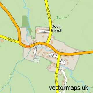
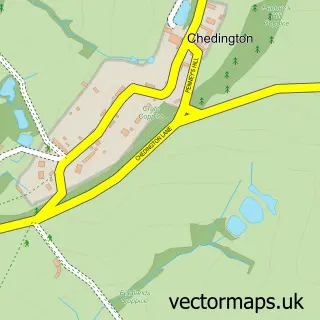
This North Perrott street map is a detailed vector street map covering a 750m x 750m area. Select a larger area to create and download your own vector street map of North Perrott.
The 750-metre map sample for North Perrott covers 111 mapped buildings and approximately 8.8 km of road detail, of which 11 named roads are named. The immediate area includes 4 MOT stations within 2 miles. The wider area around North Perrott features 1 hotel. To create a larger or custom map of North Perrott, the map builder lets you define your own coverage area and download editable SVG, PDF and PNG files.
Create a larger editable map of North Perrott
Choose any area you need and generate a high-quality vector map instantly. Perfect for print, planning, design, business and personal use.

This North Perrott street map in Somerset is available as downloadable SVG, PDF and PNG map files, or as a printed map for planning, business, display, education, local information and design work. You can also create a larger custom map area using the map selector.
What this North Perrott map sample shows
North Perrott lies within North Perrott Cp parish, part of Parrett ward in the Somerset local authority area. The postcode geography for this area includes the TA postcode area, the TA18 postcode district and the TA18 7 postcode sector. Residents fall under the Nhs Somerset Integrated Care Board for NHS services.
Local features near North Perrott
Within 2 milesAmenities and services in and around North Perrott.
Administrative and postcode information for North Perrott
The local authority covering North Perrott is Somerset, within the county of Somerset. The settlement lies within Parrett ward and North Perrott Cp civil parish. The TA18 postcode district and TA18 7 postcode sector serve the immediate area. NHS provision in the area is delivered through Yeovil District Hospital Nhs Foundation Trust.
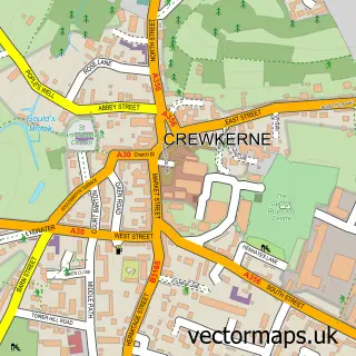
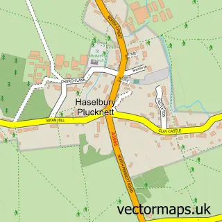
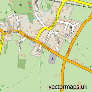
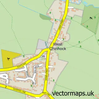
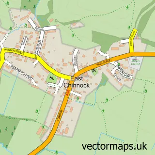
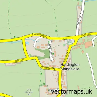
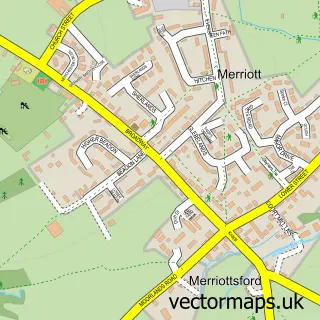
Nearby street map samples around North Perrott

More street maps in Somerset
750 metre map area coverage
Boundary, postcode and point of interest information for the 750m x 750m rectangle centred on this sample map.
Boundaries containing map centre
Constituency: Yeovil Co Const
District: Somerset
Icb: NHS Somerset ICB
Parish: North Perrott CP
Police Force: avon and somerset
Postcode District: TA18
Postcode Sector: TA18 7
Nearby boundaries intersecting sample
No additional intersecting boundaries found.
Postcode coverage
POI category counts
Anglican Church: 1
Automotive Services And Repair: 1
Bed And Breakfast: 1
Building Supply Store: 1
Business Management Services: 1
Equestrian Facility: 1
Farm: 1
Hotel: 1
Pet Services: 1
Printing Equipment And Supply: 1
Sample points of interest
- St Martin
- Data-Path Office Network Services
- The Old Rectory Somerset
- R L Jeffery Building Contractors
- Kwintessential Ltd.
- Downclose Stables
- Parrett Brand, North Perrott Fruit Farm
- The Manor Arms
- Hilton Herbs
- N M Graphics
- Cutting Edge Technologies
- North Perrott
Create a larger editable map of North Perrott
This sample shows only a 750 metre area. To create a larger map of North Perrott, use our map builder to choose your own coverage area, add titles and download editable SVG, PDF and PNG files.
Create a custom map of North Perrott